Bizz Johnson NRT — Devils Corral to Goumaz
Lassen National Forest
(map link)
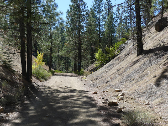
I enjoyed my time on the Bizz Johnson National Recreation Trail yesterday so much, that I decided to try the other direction. It's the same easy railroad grade until it gets to the crossing of CA-36. The train went right across this highway that didn't even exist when the tracks were built, but the people get the only piece of this trail that is not considered accessible as it drops down to cross under the bridge, then climb back up to the railroad grade above, both at greater than 3% grade.

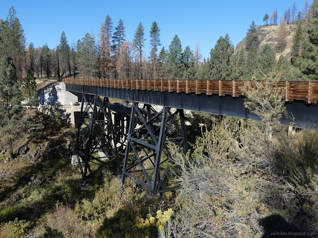
Trail gets back on grade just before the biggest bridge over the Susan River. It comes with a lovely interpretive sign about the bridge that includes a lot of pictures. The railroad bridge was the first of these, built in 1913. Only the center was steel then. Symmetric wooden trestles connected the steel to the ends. The bridge below that is so obviously of WPA era is actually from 1923 when the Lassen Highway was built. The wooden trestles didn't give it enough room, so the west side had to be replaced with more steel. It was abandoned in 1955 and the right-of-way was acquired for the trail in 1986. They decked it and put up railing in 1988 and you could cross it on the historic wood trestle and steel mix up until it burned in 2000. (You better believe there's a picture of burning trestle with a helicopter ready to dump water all over it. Californians love that sort of thing once the burning object has been rebuilt.) Everyone got moved over to the old highway bridge, the one that's even older than it looks, for the next decade until some new steel beams were added and the bridge finally became symmetric once more.
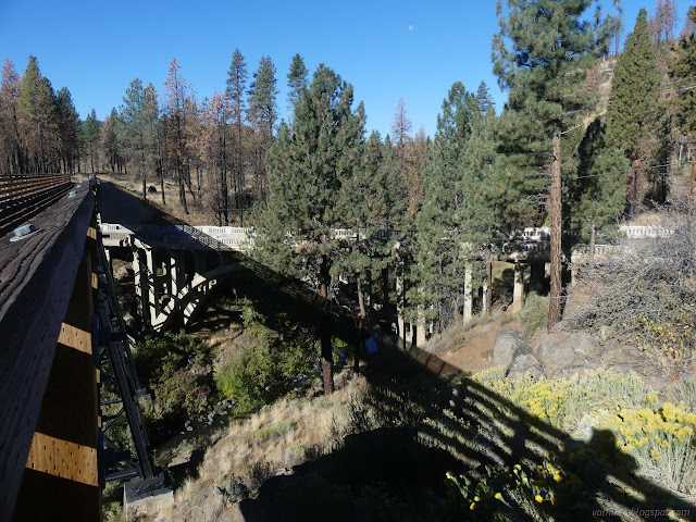
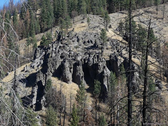
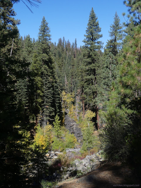
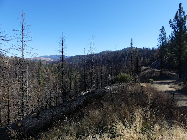
It's a long way down from that bridge. I bet from 1955 to 1988, there were a lot of folks enjoying an increasingly giddy crossing on this bridge, or at least a sit out as far as you could go. On the far side, I met the burn. The burn I bumped into the day before was the tiny 1-4 Bizz Fire of 2021, but this is a somewhat larger Hog Fire of 2020 that would be with me for most of the hike with varying effects on the surrounding trees. Through here, charred trunks stood tall, brown needles still hung on fire killed trees while others were still green at the very top. Bad, but not devastating.

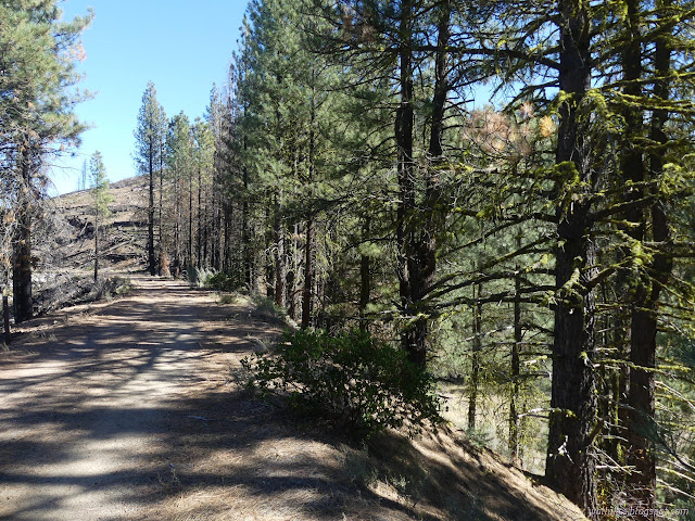
In this section, the trail passes on the 150 foot wide railroad right-of-way. I wandered over to the edge of the river to have a look, finding it marked frequently with posts with no markings. These quite likely mark that right-of-way. There's more on the other side.

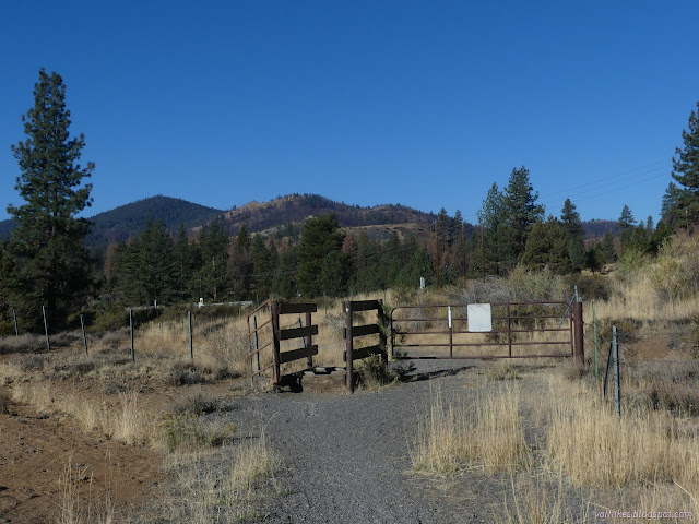
The land is used for grazing cattle and there's plenty of trails from them. No danger confusing theirs with the Bizz, though!

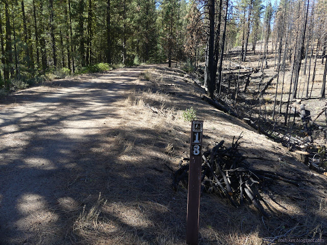
I passed a NW 1/16 section corner on my way into the forest. This was at one of many gates with a passage at the side for trail users. There seemed like a lot of random gates although none were a hinderance.


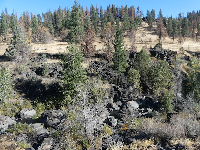
The burn was, well, quite a lot. It was nice to get to an area where the trail had acted as a break, so half the trees were still there and untouched except for some small incursions. Then I passed out of the area of fire.


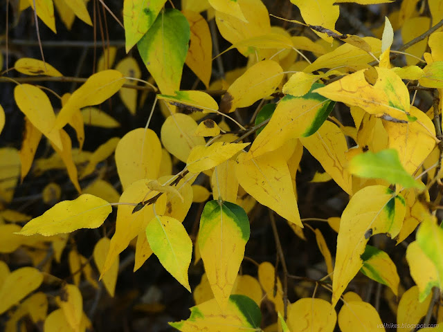
I found a good section with autumn on display as I neared Goumaz.


I had a look around the nearby campground. The water was just turned off and when I turned the handle on the water fountain, it briefly burst forth before stopping. Winter is coming. The kiosk had a better collection of information than the one at Devils Canyon including a better map. That's the one that told me about the 150 foot right-of-way sections, plus showing them. They flank Devils Corral within half a mile on both sides, it probably ought to mention them.

So I turned around, dreading all time miles of burn, but also wondering about the mounds of mountains with names and sometimes benchmarks that I might wander to the top of.


I stuck to the railroad grade on the way back instead of the bit of down and up. This was easy enough since there wasn't much traffic on CA-36, but the one gate wasn't quite so easy to navigate.

I headed off to Goumaz Campground after and probably should have had another little go at whatever I could finish of the Susan River Canyon before it heads south. I had had enough of the burn and didn't know I'd already walked through all of it. It wouldn't even be coming back for more, at least not within the canyon. Although there were clues ("Hog Fire Closure" sign on a road on the way) that this wasn't Dixie (all encompassing, but only almost made it here in 2021) there wasn't any signal to check on such things at the campground. Maybe I'll take a quick through hike on it one day. I'll have to try to get hold of the interpretive brochure first. I wish it was common to have those available online.
*Lassen 2022 photo album*
©2022 Valerie Norton
Written 27 Dec 2022
Liked this? Interesting? Click the three bars at the top left for the menu to read more or subscribe!


Comments