Hennen Canyon: Griswold Lake
Humboldt-Toiyabe National Forest
(map link)
DAY 1 | DAY 2
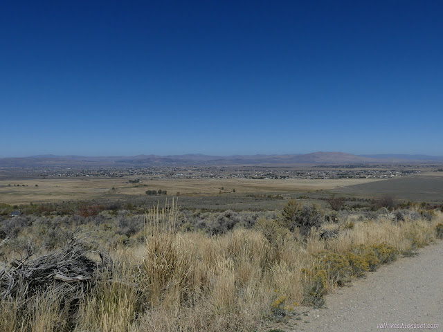
I wanted to go to the top of Ruby Dome which, by a stroke of luck, happens to be at the end of the Hennen Canyon Trail. The other end is on the other side of a private campground from a nice county road. Summitpost suggests you are risking a ticket to park by the road and hike in. I couldn't see what the ticket would be for and "risked" it. There is a no parking sign on one fence where parking could, with a wild imagination, hinder movement through the gate, although not nearly as much as the fact that the gate is kept closed and latched. The fence on the other side has room for at least 4 cars that is getting regular use. Some take a campsite overnight to be able to drive to the trailhead, however the sign is clear that non-owner campers need to be the guest of an owner. They save 1.25 miles and 500 feet climb by doing that. It's the easiest miles of the hike and wasn't worth it to me. There's also a certain group that claims to drive around the electric arm that regulates it, but there's something glaringly wrong with that.
I didn't want to do the whole hike in a day, so went with the typical overnight of heading up to Griswold Lake to hike the peak the next morning and then head out. It's a pretty short hike up, about 4 miles from the trailhead, so I didn't bother to get going too early, nor did I hurry. I packed up the little 33L pack and couldn't quite get everything in, so strapped the food bag tightly to the side. That had the advantage of being some orange on display for hunting season. I hear that's a good thing to do and it's actually be best orange I've got. Otherwise, I've got a faded ball cap and I prefer to set a large brim all the way around on top of my head. I had it all ready so I could basically grab everything and go once parked.
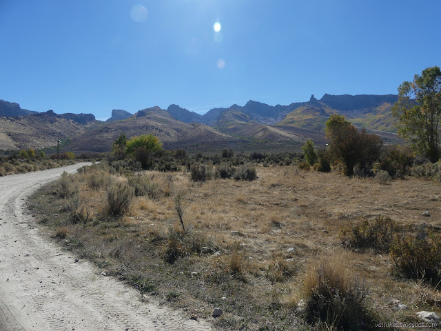
I did hurry through that first 1.25 miles to the gate at the trail. A couple morning dog walkers came down the road, but otherwise I saw no one. Shoe prints and bike tracks indicate others pass by frequently enough. This trail does not enter the wilderness, so presumably one could ride a bike all the way to the peak with enough skill.

Just before the parking area, I stepped through a gate and latched it behind me. I was happy to be on trail. There is a little more private property before finally getting to the forest. The trail crosses a bridge over the creek immediately and I met a couple hunters separately on the way up. Neither one appeared to be actively hunting. Along with a hiker in the first mile, they were the last people I saw until I was almost back to the trailhead again.


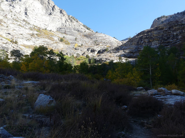
There's no marker for where the private property ends and the forest begins. The trail doesn't change with the ownership. It's clear and easy across sage and under trees with one muddy spot to slow one down.


The canyon gets more rocky and the trail starts to follow cairns. Many are not needed and a few mark different paths. I noted two and sometimes three trails running in parallel just out of view of each other. What seemed to be most obvious and used was often whatever was nearest the creek, often a bit closer than what is marked on the Forest Service topo.
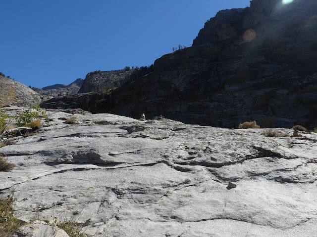
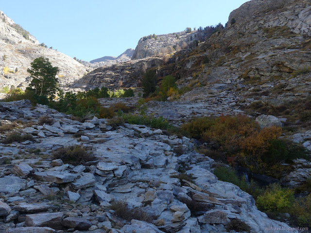
One piece of trail was particularly hard and required a little climbing. It was obvious it wasn't the only way since I was still seeing signs of horse use afterward.
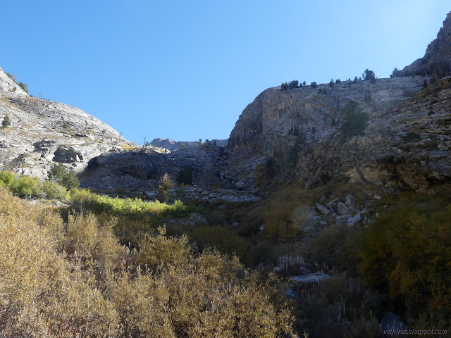
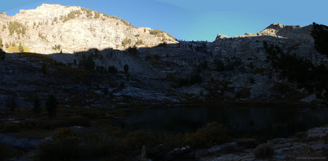
I got to the lake without too much trouble and followed the trail a little further up, but not so far as to go away from the lake. There's a lot of flat ground to call a camp, but much of it is near standing dead trees.


Since there was plenty of evening, I chose a site, but then kept poking around. Plugging up the outlet, I found an old dam and following tracks across it, I found a site that was up higher from the water and surrounded by live trees. It wasn't quite as flat, but I decided there was enough flat to make me happy and moved to the spot south of the dam and up in the rocks. It was pretty close to where I'd picked out to camp on the map.

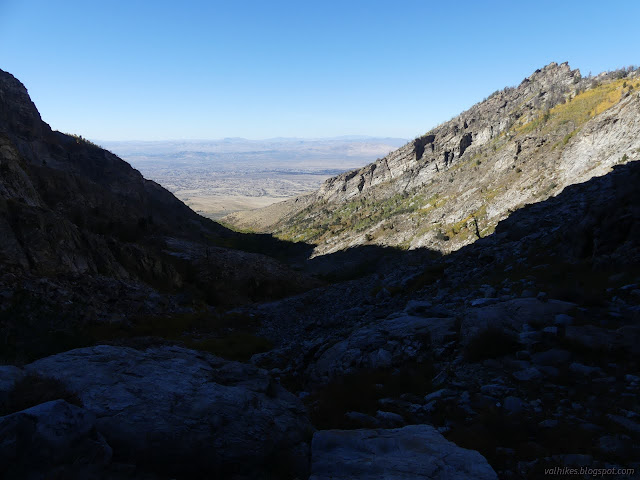
I cooked and perched myself on a rock looking over the lake to where the trail should climb and oscillated between figuring that's a fine space to climb for a trail and thinking there isn't quite a route through it.

It would all sort itself out into success or failure in the morning. The first is preferred. The second would just have to be accepted if it were so. Best now to get a good night sleep.
same trip, next day ⇒
*Ruby Mountains 2022 photo album*
©2022 Valerie Norton
Written 20 Dec 2022
Liked this? Interesting? Click the three bars at the top left for the menu to read more or subscribe!


Comments