Bizz Johnson NRT and Southside Trail Loop
Eagle Lake Field Office BLM
(map link)
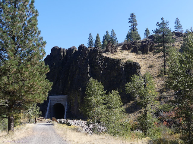
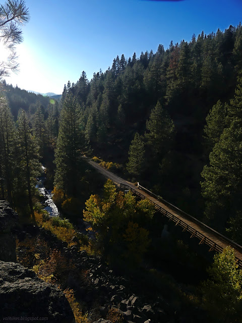
The Bizz Johnson National Recreation Trail is a rails to trails project following the Fernley and Lassen Branch Line of the Southern Pacific Railroad. It travels 25.4 miles from the Susanville station to the Mason station on old railroad grade, then continues on county roads (modified grade) to the Westwood station. It would be a pretty easy thing to through hike. (There's even bus service to make a one way hike or bike easy.) I was interested in the segment between Susanville and Devils Corral (named for sounds the wind makes in the rocks, supposedly) where both tunnels and many of the 12 bridges (11 from the railroad days) are found. Additionally, there is the Southside Trail, which gives a secondary route for a little different experience along this section. There are multiple connectors between these two trails, so a number of loops are possible.
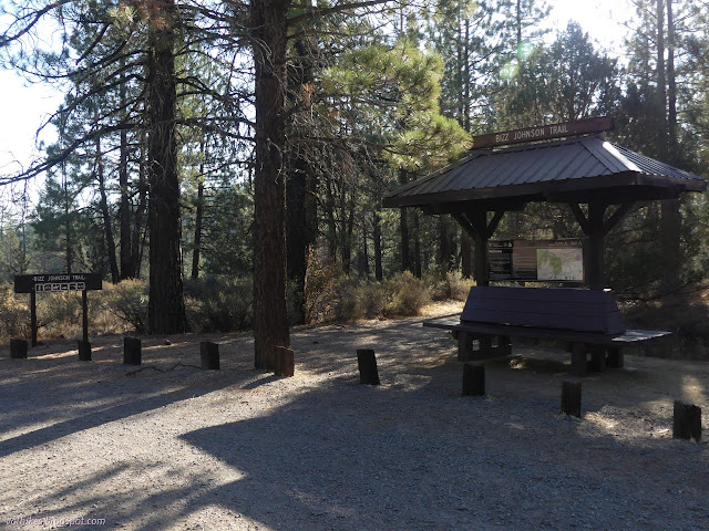
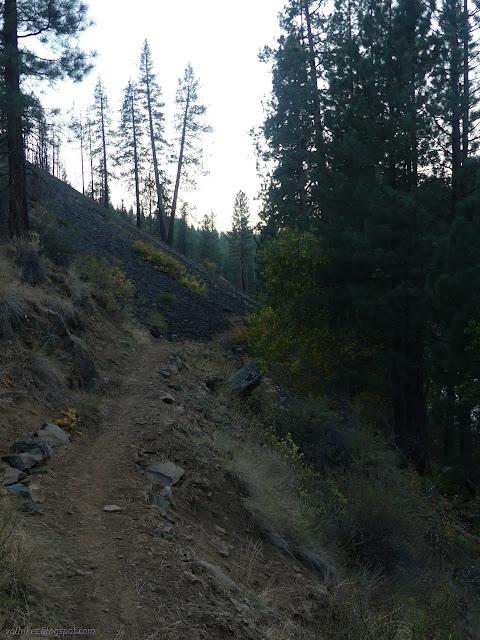
The trail travels on Bureau of Land Management (BLM) and Forest Service lands with a few segments that are only 150 foot wide right-of-way. Camping is restricted to the 5 miles in the middle of this eastern 7 mile segment and campfires are only allowed in the provided metal fire ring at Cheney Creek and day use stuff at Hobo Camp. (A free California campfire permit is required.) From the trailhead, it's a short connector to the trail. The trail is wide and smooth and flat like a well maintained improved dirt road. Most of it is ADA compliant.


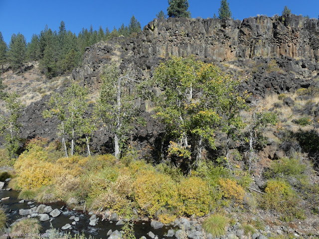
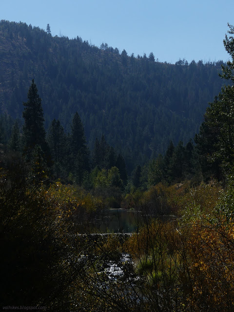
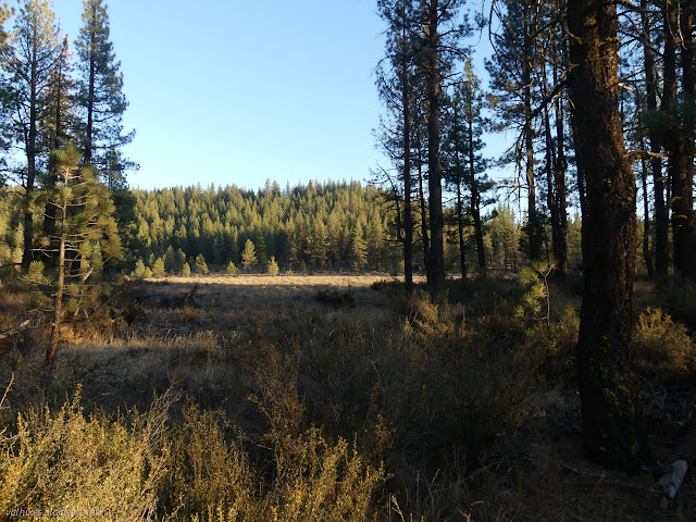
Of course I was really hoping to see some fall color. I found out later that this is considered a go-to place for it in the area. It was still a little early, but the hints of a grand color extravaganza were all over. Even at this stage, it was enough to evoke a big smile as I strolled along.


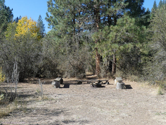
The provided camp is a big bulge along a trail that otherwise doesn't really have camp sites. It's easy to spot and has lots of flat space.
The tunnels were gated once, but there's clearly no effort keeping them closed now. It's a good idea to have a light if you want to walk through them. If you'd rather recognize the danger inherent in going through 100+ year old train tunnels, there's a trail around the side that may be used instead.


I explored inside the tunnel a little, then headed back out for the walk around. The narrow trail stays rather flat as it makes its way to the far side.


I walked around the second tunnel too. They're cool to have but the view on the inside is a bit samey all the way through. The first connector trail to the Southside Trail is along this walk around.


I took the next connector trail, which is in a section with two nearby bridges. This one heads off directly from the main trail to climb into the trees. Shortly, it arrives at an old road that is now the Southside Trail. It passes an open gate and then just sort of shrinks as it progresses. Oddly, the signs on the gate suggest this side is the one that was open when the gate was closed.
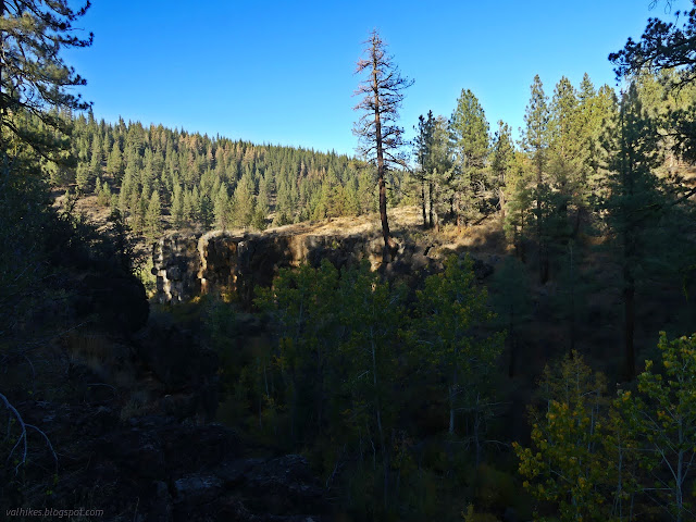
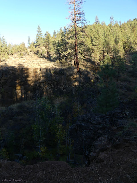
I came to an unexpected junction where a high route has been added. The junction signs are all somewhat temporary made out of laminated paper, so they can drop in a lot of details if they like. Overlook or riverside? Overlook was very tempting although the sign said the trail was steep. Only one would take me by the lonely geocache I wanted to find, and I deeply suspected it wasn't overlook. Turns out, riverside didn't get very close either and I had to do a little off trail and round-about climbing to get it.

The trails came together again, signed completely differently with names instead of descriptions. I had stayed on the Southside Trail and the other was the Canyon View Trail. The second does still get some description. It is wide and steep. Further along, trail starts to get lost in the pine needle covered flats.

The junction with the connector to near the tunnel came with a warning that the bridge ahead was removed in December, decorated with a note that it was put back in place in May. The bridge is seasonal and can only be expected in summer and fall.


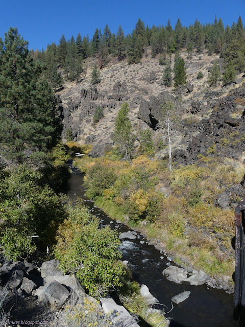
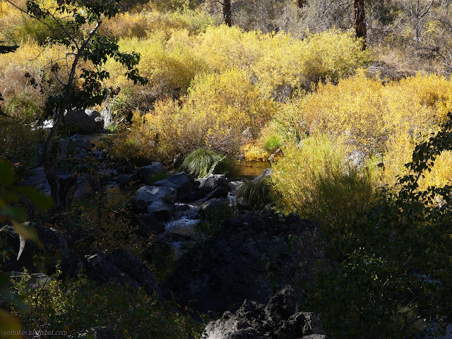
The trail takes a big excursion upstream when it hits Cheney Creek. The colors along this creek were looking pretty peak even if I got there with the day growing late and a lot of shadows coming over it.
There's a flimsy wooden bridge to cross Cheney Creek although there's not really need for it. The horses are directed to make a different crossing through the creek instead. It climbs back to the heights above Susan River where there's an alternate loop trail to get to some overlooks. I decided to go for this.
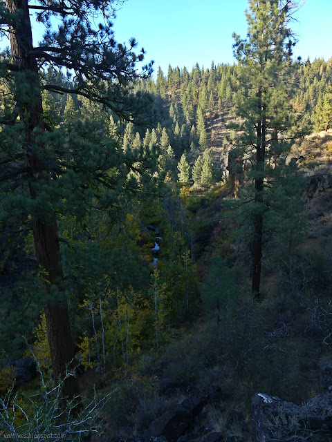
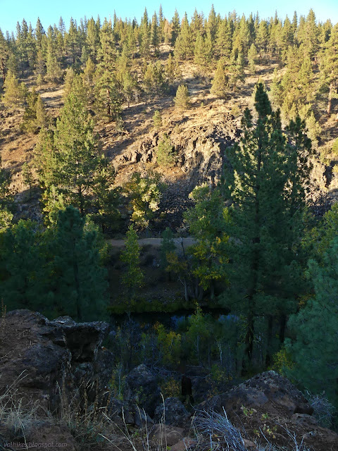
The loop returns to the trail just about where it left. A bit of cable along the side is likely a remnant of logging, as are the faint roads. The trail travels along and then discards these roads, making some route choices that seem odd. There's a river access and the area might be nicer to camp than down on the river at the official site. The access it a little random and doesn't look well used.

I entered into a recent burn scar. It appears this fire wasn't too bad for the trees here. Each has burn a little way up the truck, but only the very small seems to have died of it.
Down on the river, it was time to cross, bridge or no. There was bridge. It is a flimsy looking metal affair and someone has misplaced the railing. A sign warns of a 500 pound limit and there should only be one person on at a time. Horses are again sent to wade across the water.


It's a little bit of a climb back up the far side. I was delivered practically to the trailhead once more. It all made a very nice and very easy hike. Southside had some climbs, but nothing that lasts very long.
*Lassen 2022 photo album*
©2022 Valerie Norton
Written 26 Dec 2022
Liked this? Interesting? Click the three bars at the top left for the menu to read more or subscribe!


Comments