Arcata Ridge Trail
Arcata Community Forest
(map link)
I got back to Arcata just in time to participate in a volunteer work day on the long awaited last segment of the Arcata Ridge Trail. It was a little closer to finished than the work solicitation email seemed to imply. In fact, there was a city worker along for this one who had placed a couple signs in the ground before we got there and the trail was officially open! It's also a little steeper than originally designed and a bunch of crushed rock got vibrated into place at the bottom to try to mitigate the worst of it on that work day. I came back a couple days later to finally, truly, hike it end to end. Not like that last time.
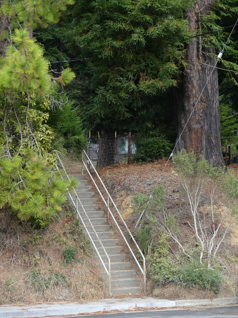
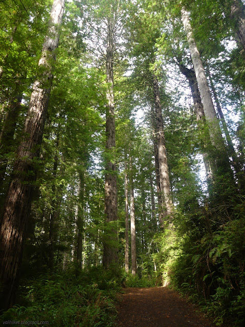
So up the steps and past the signs with maps and rules and even a bit of suggestions of what to do with invasive plants and upward still to be quickly engulfed in the tall trees.
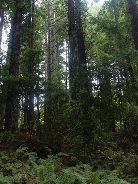
The trail splits shortly for hikers and bicycles. I took the hiker route. Then it splits for road or trail. Follow the crests on the trail upward. It crosses and gets close to the road as it goes.

There's only a few hints of the season among the largely evergreen forest.
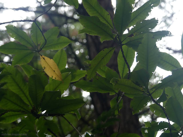

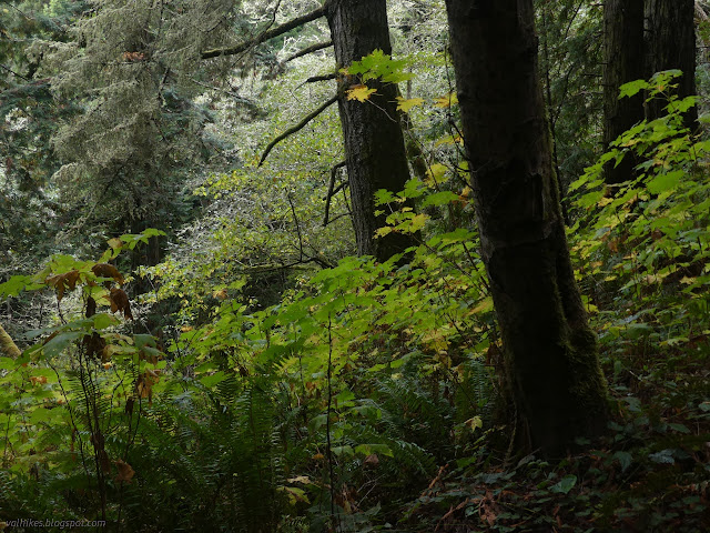
Then I got up to where I had once seen that "future home of the Arcata Ridge Trail" sign that was then replaced by a "no trespassing" sign. Nothing like that is there now!

So, instead of a long walk off to the side, then a long road walk back, one can now wind upward through a greener space to come out with only a very short offset from the trail on the other side.


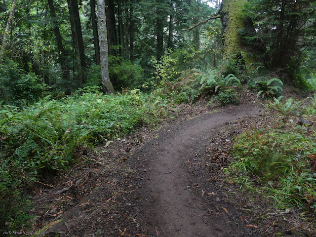
There's wood slat fencing to help the public differentiate between city and private property as the wedge of land with trail approaches Fickle Hill and the crossing. There were such elaborate ideas on what the crossing might be. Of course, it's a zebra crossing and some warning signs. Are the others just for some requirement to "consider other options"? I was flipping through the Humboldt County plans for the California Coastal Trail and there's a suggestion to keep it along the north and south spit and provide a ferry for hikers to cross the Humboldt Bay opening, which just sounds like a money-no-object brainstorm rather than a serious proposal. Here, you could have a bridge over the road. Or a zebra crossing and some signs.

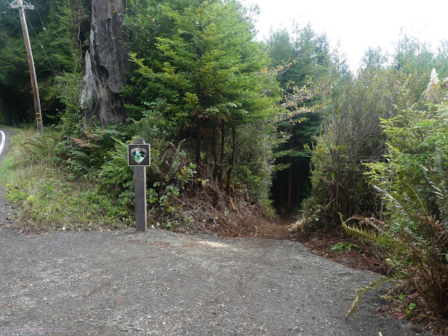

The penultimate section on the other side of the road seems to be setting in quite well. Down I went toward the section where more crests are needed to mark the junctions.
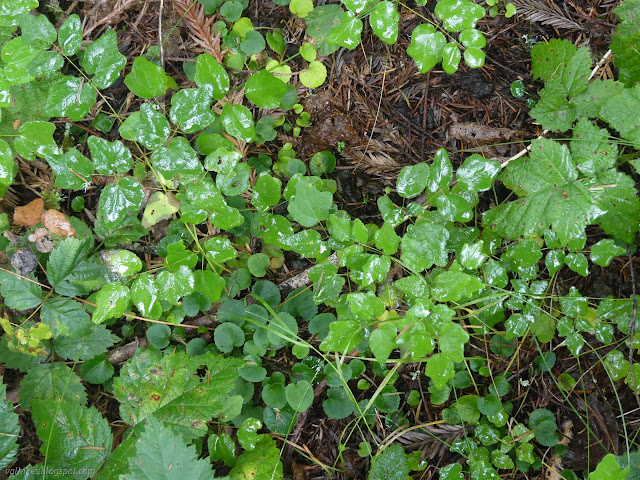
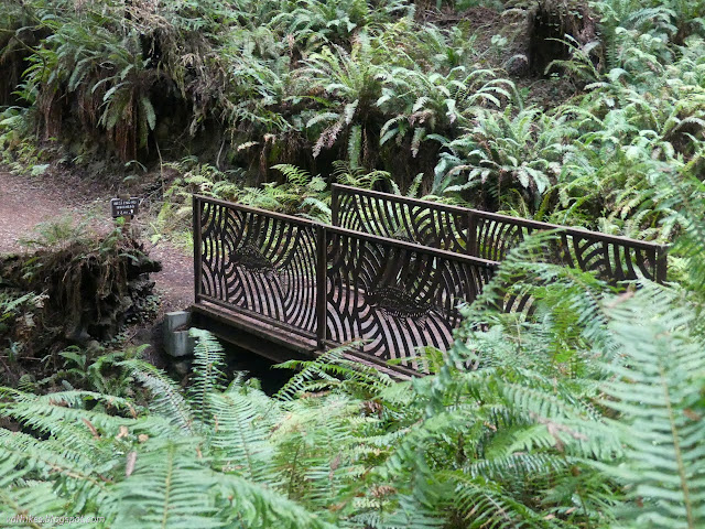
The signs at the bridge are no longer decorated with an admonishment to turn right back around when you get to Fickle Hill. The people have won! Our trail is built!

I managed to make my way through the various turns without consulting the georeferenced PDF map I got from the city, but pulled it out for a pair about to turn around on the Community Forest Loop Road ("8" on the signs) to show that they could just continue around instead.
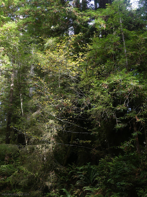

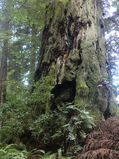

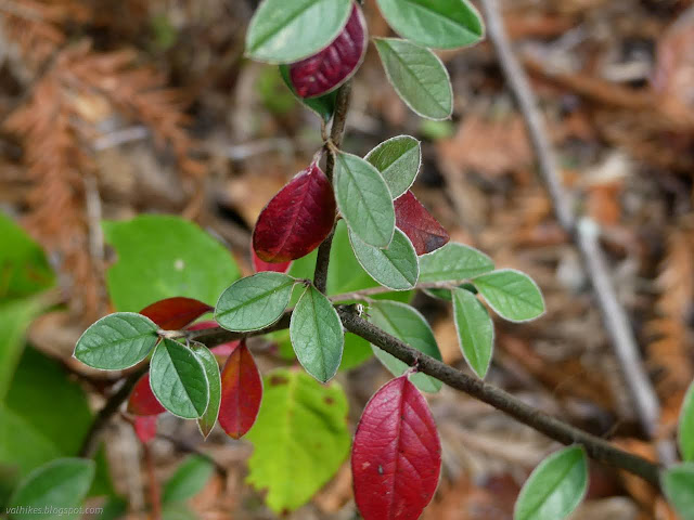

I passed through the easement on a bit of private property and dropped down to finally wind beside Janes Creek. Even the maples weren't putting on much show. There had been some frosty nights, but it wasn't enough to get them going.
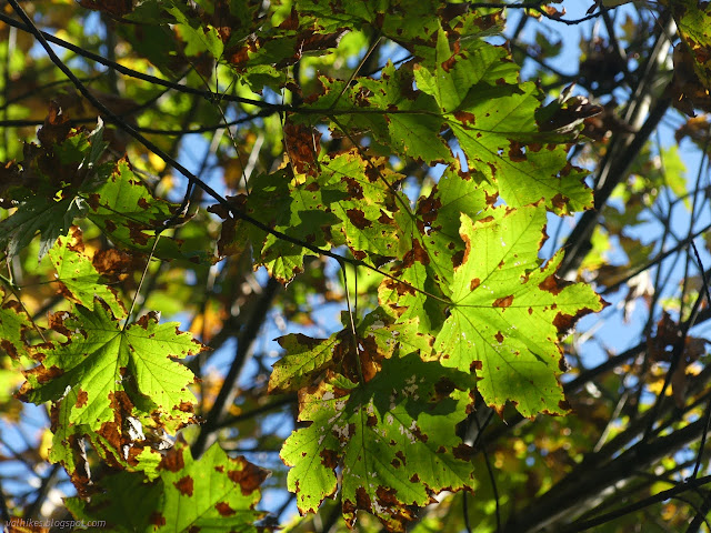
And so I came to the end of the trail. The lumber yard was being noisy. I tagged the blacktop of West End Road and turned around for a yo-yo.


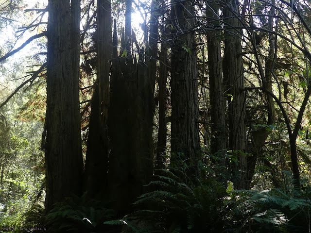
I finally found one good show of autumn, which seemed to be a leafy section of a particularly tall redwood tree. Since when did redwoods have leafy sections?
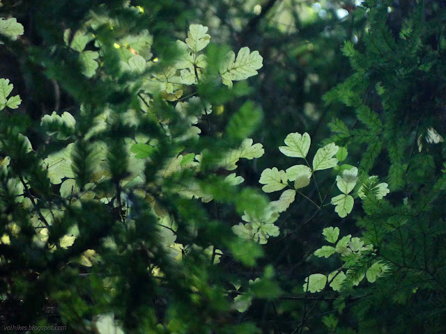
It's hard to find the poison oak in this forest, but this particular plant is impressive. It climbs some 40 feet up and stretches almost as far out as the redwood supporting it.


The whole Arcata Ridge Trail comes to just a tiny bit over 5.5 miles, so not exactly a difficult one to through hike, or even yo-yo. My hike was ever so slightly over 11 miles. It's possible to add on a mile or two more by taking excursions along the various loops.
*Humboldt album*
©2022,2023 Valerie Norton
Written 2 Jan 2023
Liked this? Interesting? Click the three bars at the top left for the menu to read more or subscribe!


Comments