Thomas Canyon Trail
Humboldt-Toiyabe National Forest
(map link)
This trail is found in a campground and parking for it is next to the fee collection station. There's a sign so you know. From there, you get to walk halfway around the circle to finally find the actual trailhead. There's no parking there unless you take a site. The only sign to identify it is "please stay on trail" but it's well established and hard to miss once on it.


There's a lot of trails that access the creek early on. There's a nice swimming hole and some waterfalls, so no wonder, especially as the campers probably wander a bit.

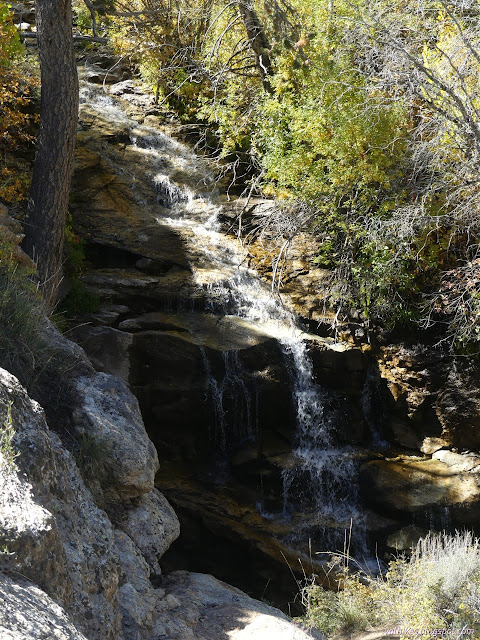

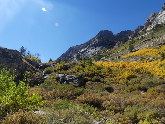
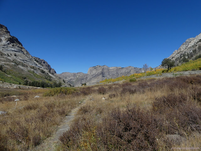
It's quite a pretty little creek in Thomas Canyon and there continued to be little trails that got close to it. I took advantage of a few of them.
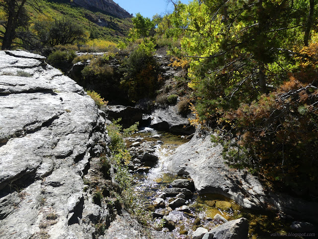

I must have gotten a little too obsessed with being near the water, because the trail started to get hard to walk as it struggled upward. That's because I'd lost track of the real trail. I thought I'd climbed back up to it, but I hadn't. Eventually I pushed through enough to find the wide and easy track again and there were no hard bits on the way down.
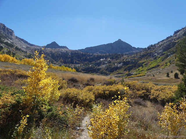

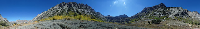
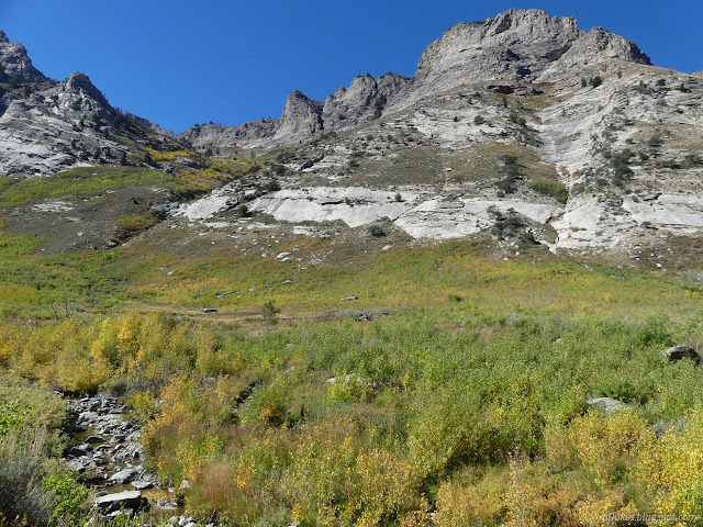
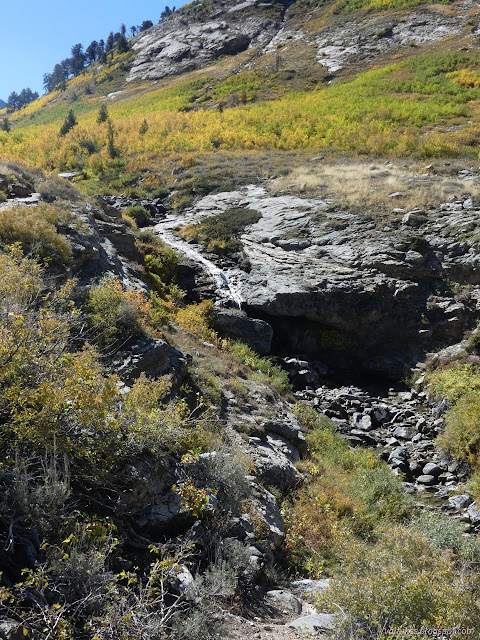
There's old beaver ponds in the upper reaches, but most are empty now. I wonder why since there is water flowing in. The Forest Service topo says the trail abruptly ends at the wilderness boundary and OpenStreetMap only gives it a few more feet. I followed an obviously lesser trail a little further. It's possible someone makes tracks up toward Snow Lake Peak or maybe even Mount Fitzgerald sometimes. Not for me.
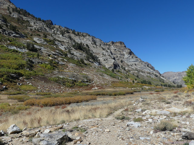

I headed back down. Right back out of the wilderness, but the edge stays close to the east for no good reason.


There's a beaver pond off on the other side of the creek that I stopped by on the way down.

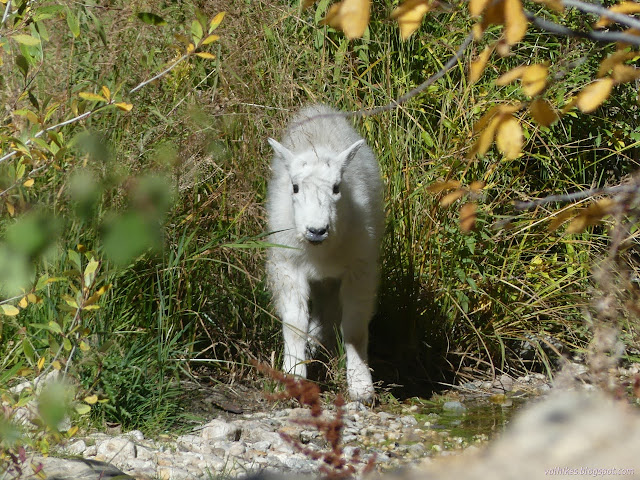
Then on down the rest of the way. I took the other way around the campground loop, which is ever so slightly shorter. It was lucky because one of my fellow hikers popped up to point out a little mountain goat down by the water.
Thomas was a delightful little canyon to hike.
*Ruby Mountains 2022 photo album*
©2022 Valerie Norton
Written 16 Dec 2022
Liked this? Interesting? Click the three bars at the top left for the menu to read more or subscribe!


Comments