Right Fork Lamoille Creek
Humboldt-Toiyabe National Forest
(map link)
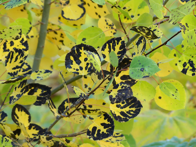
This area was burned in the Range Two Fire in 2018. It also got the first half mile or so of the previous hike up Thomas Canyon, but was not particularly noticeable. It is very obvious along the Right Fork. The other nuisance for this canyon is that there is a piece of private property making trail access more difficult than it should be. This seems to be a common problem for the Rubies, albeit one of the lesser cases. There's a parking area (no camping allowed) and signs next to the gate for Camp Lamoille to make it clear that you can use this trail so long as you walk through the camp. I was only ⅓ mile down the road and couldn't be bothered to drive that little way down the road.
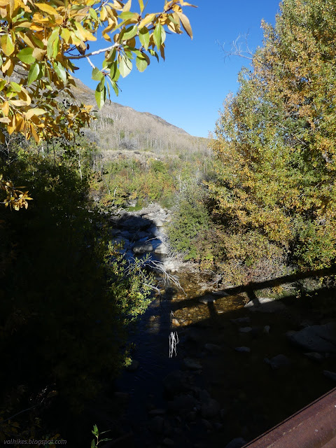

I followed the trail around the gate and off into the camp. The sign says it is only open through September, so was abandoned except for maybe a caretaker.

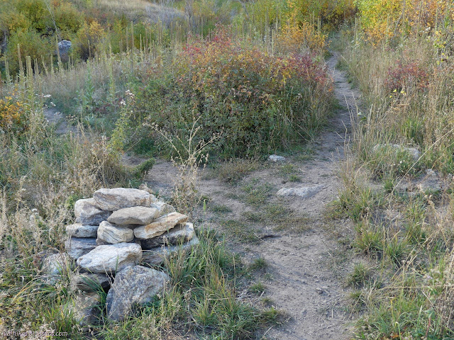
I made my way through it almost to the end of the road where a trail breaks off to the left with some minimal signage. Little trails break off to the creek. OpenStreetMap says there's another route on the far side of the creek, but I didn't see it. The Forest Service says it splits further up and both will join again after a bit over a mile. I was told that the west one (Lions Camp Trail) most definitely doesn't go that far anymore. This split is marked by a large cairn and I went left and crossed the creek on a thin makeshift bridge. It was a mildly rough climb back out of the creek to the trail, which was coming from somewhere else further downstream.
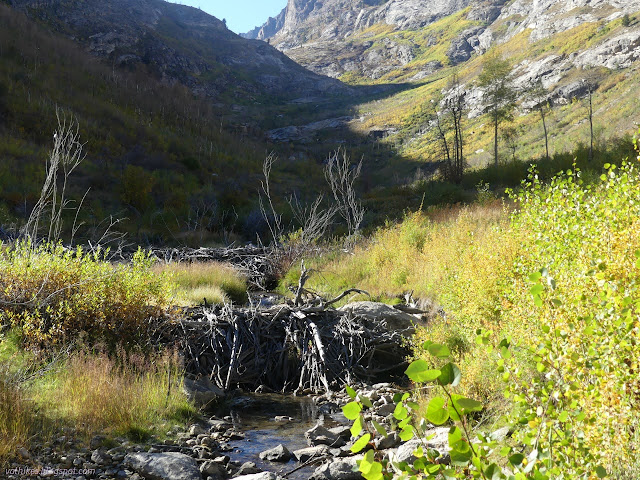
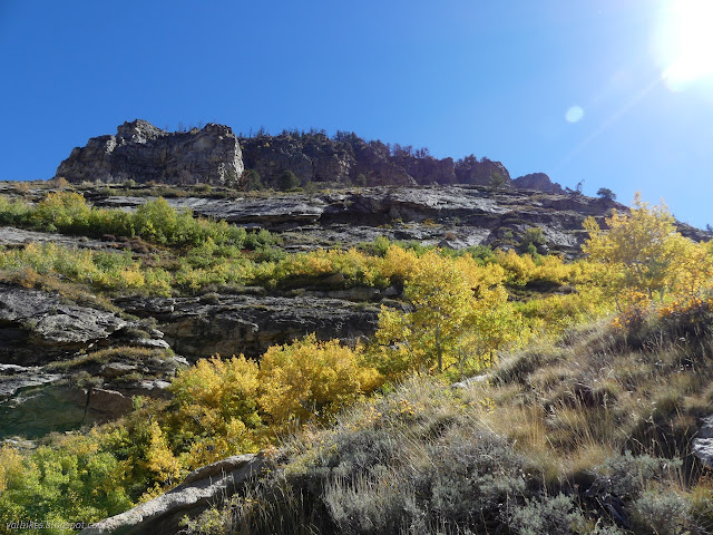
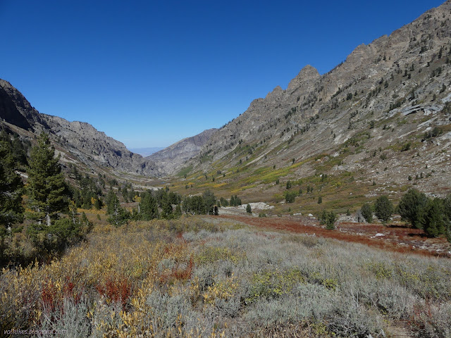
The trail climbs up through burn scar, generally looking like use trail reclaiming something like the old route. It has some very steep moments. In this canyon, you're quickly into wilderness. If you follow the trail marked on the Forest Service topo, you'll be out of it again, dip in it briefly, then enter it for a while before coming out at the Indian Reservation on the west side, too. It's kind of ridiculous how the boundary winds.
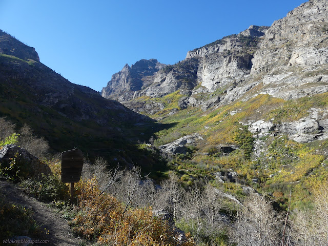

The burn didn't get all the way up the canyon. After the elevation step, there's not big signs of burn.

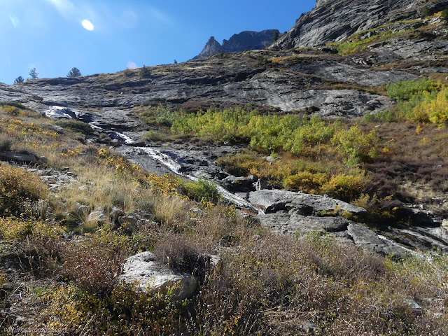
The trail levels out for a while and actually drops a little before crossing the creek. The crossing is not entirely obvious, but its pretty easy to find the trail again after it. Trail leaves the creek behind on the way to climb to Goat Lake. This little pond is the end according to OpenStreetMap. That was as far as I was planning on following it.


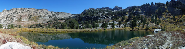

There's a nice rock for a sit by the lake. I had a snack and watched a big trout in the water and pondered if visiting Echo Lake might not be possible. There looked to be faint trail at least climbing upward.


I had waited to have some light in the canyon, so there really wasn't time. There might not be anyway if it is as much a cross country route as I was told. I headed back down instead.


When I got down to the crossing I had used, I continued along the other trail. It was getting overgrown, but still obvious until it drops down into the creek to cross. There are multiple choices in how to cross and multiple trails up the other side, but nothing is exactly complete. I wove my way along and landed on the main trail again to walk through the camp back to my own camp.


*Ruby Mountains 2022 photo album*
©2022 Valerie Norton
Written 19 Dec 2022
Liked this? Interesting? Click the three bars at the top left for the menu to read more or subscribe!


Comments