Posts

Showing posts from 2009

sketches

Image
No real hiking in December, but I did go out to the Wilcox Property (or, apparently properly called Douglas Family Preserve) and sketch in a couple spots, as well as take photos that could become more sketches. The cedar at the end of the point. The view of the Brown Pelican from by that cedar. Somewhere in the center along one of the old roads.

sketches

Image
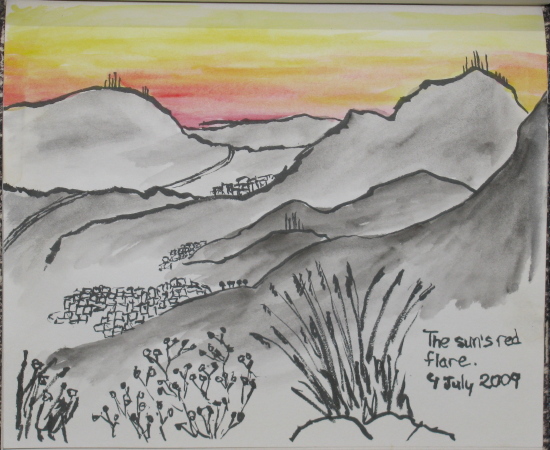
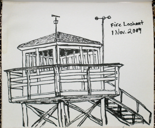
Some attempts at art in open spaces. The fire lookout that has been moved to Henninger Flat . Painted up at SBCC while trying to encourage mom to have at it too.  She used to draw a bit, but worries it isn't good.

Boiling Springs Lake

Image
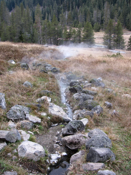
Warner Valley, Lassen Volcanic National Park Locate the trailhead. This was a quick hike late in the day before driving back home. Warner Valley is along a road that goes into the park and stops a bit east of the main road. A sign in Chester pointed the way to the park road. Keeping left, then right brought me to a small parking lot for the Pacific Crest Trail well after the road had turned to gravel. The trail had many junctions but was well signed. Someone had written in "Boiling Lake" on the one sign post that forgot to mention it. The lake itself was a very easy 1.5 mile up the trail which has a loop around it. It's so easy, or maybe the land so cold this time of year, that I was quite comfortable in my thermals the whole way up to the thermal feature. The road actually goes up to a ranch just past the trailhead. I followed the PCT along through some sloshy grasses and over a small but fast stream to a footbridge across a small but fast river. Above t

Devastated Area

Image
Lassen Volcanic National Park Locate the trailhead. I drove around to the far side of the mountain the long way around because the road was closed through the park. The north side of the park doesn't have quite as many features to look at even though the road isn't closed until about 10 miles after the entrance station. It goes up to a parking lot in the Devastated Area, so called for having been destroyed in the most recent eruption. There is a picnic area and small loop with interpretive trail around the various lava rocks that came from the mountain when it blew. The north side of the mountain and the land that was cleared by the 1915 eruptions.

Ridge Lakes

Image
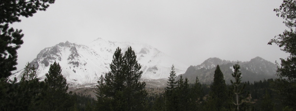
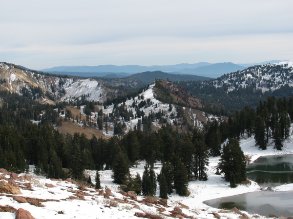
Lassen Volcanic National Park Locate the trailhead. I headed up to Lassen to see what I could see. I have not been for quite some time. Being a wintry time, the mountain was covered with snow. The southernmost mountain of the Cascades, Mt. Lassen, viewed from the road on the way up to the park but still quite a ways off. A dribble of water along the roadside in the park has turned into a frozen waterfall with some water still flowing.

Henninger Flat

Image
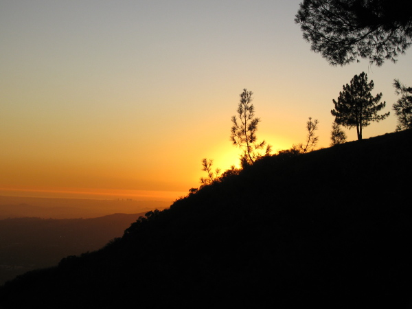
Angeles National Forest Locate the trailhead. I decided to have an afternoon/evening hike up to Henninger Flats for sunset and drawing and such. There are claims that they are rebuilding the roadway, but it was supposed to start in October and not finish until April or so next year. I didn't check the bottom slide area. I parked along Altadena, as usual, and proceeded down and over the wash area to the start of the horse trail to the road. The horse trail has a little bit of shade, especially at the bottom, which was nice when starting a little after 3PM with the temperature somewhere a smidgen below 90F. It looks like some repairs have been completed, though. There was no need to snake about the fallen debris near the top of the hike on this go. The roadway was all a smooth and easy hike. I got to the top with about half an hour to sunset. Since I've already done a sunset picture during a previous hike , I opted to sketch the transplanted fire watch tower ins

sketches

Image
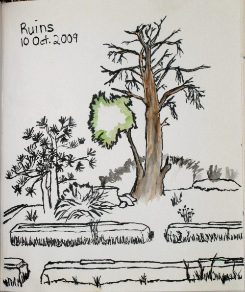
Sketches for the month. The tree up on Echo Mountain . Looking over the Salton Sea while in Joshua Tree.

Cottonwood Spring

Image
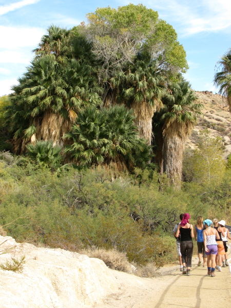
Joshua Tree National Park Locate the trailhead. Finally, we stopped for another hike of not too great length. This loop started at Cottonwood Spring and wound around to Mastodon Mine by way of Mastodon Peak. We didn't quite see the mastodon in the peak, but we saw many other shapes in the rocks. This hike wasn't quite so hot as the one in the morning but is at a higher elevation. We headed out into the desert by way of Cottonwood spring. This is a spring with quite prominent, non-palm trees.

Cholla Cactus Garden

Image
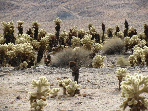
Joshua Tree National Park Locate the trailhead. Along the road as the deserts change and the frequency of particular cacti changes, there is a little educational loop through a dense patch of cholla cactus. It turned out these were the delightfully wicked narrow spiny things I'd spotted at that first stop and thought were interesting enough to photograph with the Joshua trees. They didn't look very healthy at that first stop. A few at the second stop looked a little better. In the "garden", they looked very happy and healthy. The cholla cacti were very dense on the patch of land designated as the garden.

49 Palms Oasis

Image
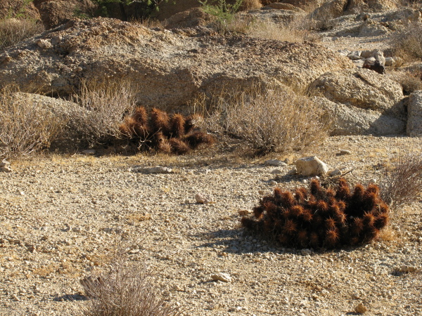
Joshua Tree National Park Locate the trailhead. For a morning hike, we went out to see an oasis full of actual desert oasis palm trees. I suppose someone counted them at one point, or at least the ones over a certain size, and found 49 to give the name. We started out maybe a little late, I think it was about 10AM already. It was hot! Hot, I tell you! So hot, the plants aren't green. Some cacti in the sun. I guess these little ones like to have neighbors, or maybe just lots of arms.

Keys Viewpoint

Image
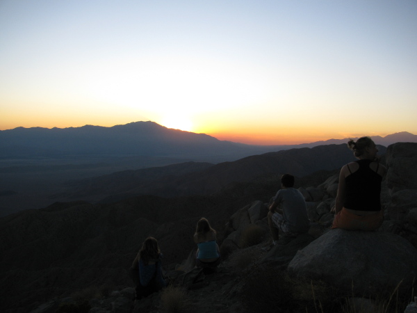
Joshua Tree National Park Locate the trailhead. After our hike, we went to Keys view, a popular spot for watching the sunset. This is just an overlook, there is no hike up. Out to the southeast, the Salton Sea is clearly visible. Some of our crew watching the sunset.

Lost Horse Mine

Image
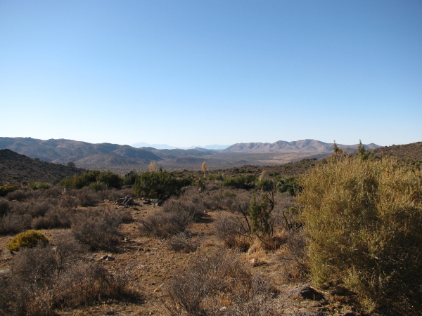
Joshua Tree National Park Locate the trailhead. After lunch, we rattled down the single lane dirt track to the Lost Horse Mine trailhead past the gate that closes at sunset. The trail winds upward along an old dirt track to the mine in about two miles and continues around in a somewhat longer loop if desired. Signs indicated a fire had been through the year before although we didn't see any natural signs of recent burn. Looking out over the desert to the distant mountains near the start of the trail.

Hidden Valley

Image
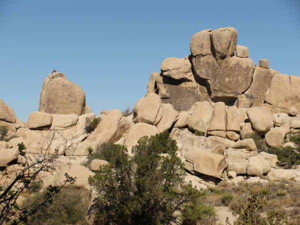
Joshua Tree National Park Locate the trailhead. Hidden valley once served as a natural corral, according to the signs. The rocks completely surrounded the area and dynamite was used originally to open up a route to the inside. Now it is absolutely crawling with rock climbers. The inside serves as a nature trail with many informative signs telling much basic information about the flora and fauna of the area. There was even some information here and there about today's most prevalent fauna, the weekend rock climber.

Joshua Tree National Park

Image
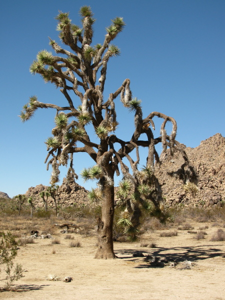
A crew of folk, mostly international students, were going off to Joshua Tree to look about the place and I managed to go along with them. Once there, we quickly found a Joshua Tree to marvel at. Also some other plant life. A very large specimen of Joshua tree, which is some sort of yucca and not a tree at all.

Inspiration Point

Image
Angeles National Forest Locate the trailhead. On the first of October, they opened up a few unburned areas in the southern section of the Angeles National Forest. One section is the piece right behind me at the top of Lake. The trail itself isn't actually in the forest until some time just before Echo Mountain but there is no sign so it's difficult to tell exactly. I decided to hike up by Castle Canyon again. The fire road behind the pavilion at Inspiration Point marked the boundary of the open area and, in that immediate area, the burn. After climbing up, I would explore a little by going down the fire road and then taking one of the other trails back down to Echo Mountain. On the way up, very little burn could be seen. There was a small spot of something that had peeked over the edge of the ridge. The further mountains could be grey with ash or grey with distance. Going up Castle Canyon, I found the bay I had gathered leaves from last year are still quite s

Sawmill Mountain area

Image
Angeles National Forest Locate the trailhead. With half the southern section of the Angeles Forest burned and all of it closed, it seemed a good time to go exploring in the smaller northern section of the forest. Although small sections of the southern section were opened up just before this, I kept to the plan and found something on the desert side of the mountains. The instructions in Afoot and Afield in Los Angeles County were a little off, so trying to find a small campground off a short dirt road didn't work on the first try. The road to Upper Shake, which the loop goes through, was very shortly after and I was expecting the lower campground to be around it but didn't see anything promising. Turns out the road doesn't like signs, except the one at the bottom. Promising turn offs were unsigned and sometimes locked. The only signs were the occasional "not maintained for low clearance vehicles" which sometimes marked a section on one side and not th

sketches

Image
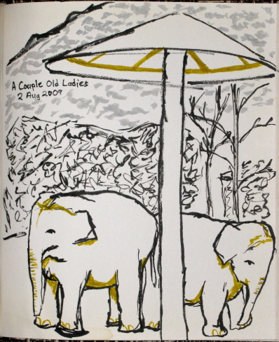
Sketches done in open spaces during the month. A meander around the zoo must include the elephants. Another evening stroll in the Henninger Flat direction . Concessions at the free concerts in Memorial Park. Not a good day for walking as the Station Fire (behind the Pasadena Library) makes everything sting.

Eaton Wash

Image
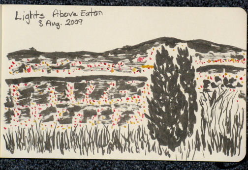
Altadena front country Haven't been hiking in, um, a while. It must be a month. I could check that here, but that would surely be cheating. Since the moon is fullish and the moonrise calculator said the moon would be up not too late and I know it's an easy trail to take in the dark, I headed up the way to Henninger Flat around 9PM. Mother Nature seems to have taken into account the actual landscape of the area in calculating when the moon will really rise, so it wasn't actually up until after I'd got to where I was going and had sat for a while.  I had some possible companions, but they decided not to. For one, this was probably for the best since her knee isn't good and the trail at the bottom is steep enough to cause problems with that. I made rather good time, for me, going up. I parked along Altadena Dr. and got up the trail to the toll road plus a little to where there is a park bench for folks, which is something like a mile up, by 20 to 10

Santa Barbara Zoo

Image
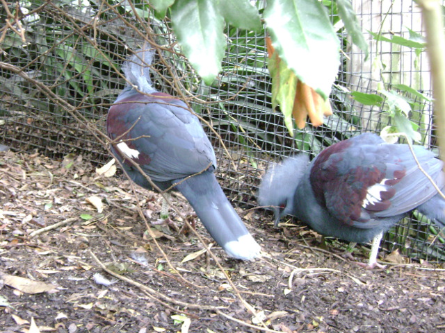
We went off to the zoo. I didn't have my camera, but mom brought hers and I got to take some photos of the kitties. There's always something interesting to be found in the Tropical Aviary.

Echo Mountain

Image
Altadena front country We hiked up to Echo Mountain to watch the fireworks.  In this case, "we" is a group of 12 people I mostly don't know who are mostly in Abbie's boyfriend's lab.  We met around 4:30PM to head up the trail, probably getting started around 5PM.  Today has been hot and humid and we were quite hot going up.  Eventually we were stopping for every bit of shade we could find.  We ended up one of the first groups up of those aiming to see fireworks.  Most people came as it was getting dark, but we all got to watch the sunset and look around the place in the light. As the day was humid, visibility wasn't great.  This manifested itself mostly in a layer of dingy air over the cities, but it didn't go up very high.  The valleys were quite invisible, but mountains sticking up out of it from time to time seemed perfectly clear.  As the sun faded and the lights went on the distant lights became just a uniform smearing of bright.  F

Upper Solstice Canyon

Image
Santa Monica Mountains National Recreation Area Locate the trailhead. Abbie plus her boy plus a new member of his lab plus her visiting parents and I all went off on a hike down by Malibu. It should be a nice little loop , except for this creep . How he gets away with it so close to Malibu, I have no idea. The trail had been going there long before he bought the property. And he promptly sued his neighbors to force them to give him the same sort of easement the trail has. A clear case of good fences making bad neighbors. The hike starts at the end of Corral Canyon Road, which heads into the young mountains with many curves and steep drops from highway 1 just "north" of Malibu. The road turns to dirt and gravel and widens into a parking lot just before a gate. The fire road beyond may be used by bicyclists and the various single track trails from the spot may not. Castro Motorway continues on from the end of Corral Canyon. We didn't get to see th

Alder Creek

Image
Angeles National Forest Locate the trailhead. Alder Creek is apparently a "trail that was" in the guidebooks even though I found it on the current (Ha! It's getting rather old and out of date. They need to do a new one.) forest map. There seems to be very little to be found about it online. There's a little on it by one Caltech alum who is so often a great source on the local trails. There's also an errata site for Trails of the Angeles that notes you can hike this trail now, but then says it's not particularly interesting. In the 10 years since folks have known it was open, there doesn't seem to have been a lot of interest. The trail heads both ways from where Upper Big Tujunga Road (Between Angeles Crest and Angeles Forest highways) crosses Alder Creek. There used to be a small lot a hundred feet off, but now it has been blocked by a load of dirt as has all the roadside parking for a quarter mile. One presumes this is to discourage use o

Icehouse Canyon

Image
Angeles National Forest Locate the trailhead. Icehouse Canyon is on a right hand straight (the road turns sharply left) just after Baldy Village. To enter the Wilderness some two miles up, you need to get a permit. We also needed a hang tag to hold the Golden Eagle so we were good and let them count us. That didn't make parking any easier on a Sunday morning. Backpackers and early(er) risers had gotten all the real spaces in the large lot, and quite a few of the imaginary ones. I was able to imagine one more spot on the second time around so we weren't so good on the parking but we weren't blocking anything either. The trail itself goes up at a steady, determined pace. It is about 3.6 miles of constant up. It does not go flat, it does not go down, it just climbs and climbs until it gets to the saddle. There is one junction along the way which is actually just another way up to the saddle but takes about two miles longer to get there. We took this going dow

Bridge to Nowhere

Image
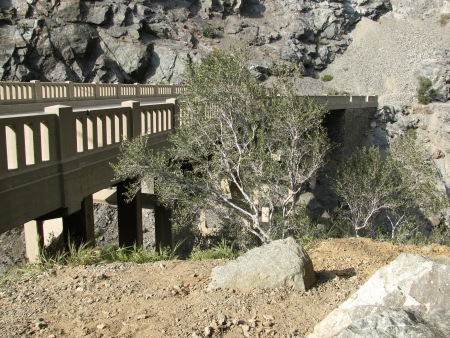
Angeles National Forest Locate the trailhead. The "Bridge to Nowhere" isn't really such. Hike information can be found here . The instructions for getting there could be improved quite a bit, though. After getting off on Arcadia in Arcadia, turn north and follow the road out of the city and along the reservoir. Turn right on East Fork Road to cross a large bridge over the river and wiggle around a little more. That road does dead end at the ranger station if you go around the hairpin turn it talks about, but if you catch the road into the Sheep Mountain Wilderness to the left on that hairpin turn you pass a few trailheads on the way to the end of the road. Park in the large lot by the gate on the road and continue down it passing yet another trailhead to some other destination. The trail follows the old road route up to the bridge built for the road. At least half of it is actually on the old road bed, but there are places where the roadbed are long gone and

sketches

Image
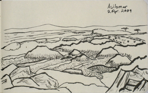
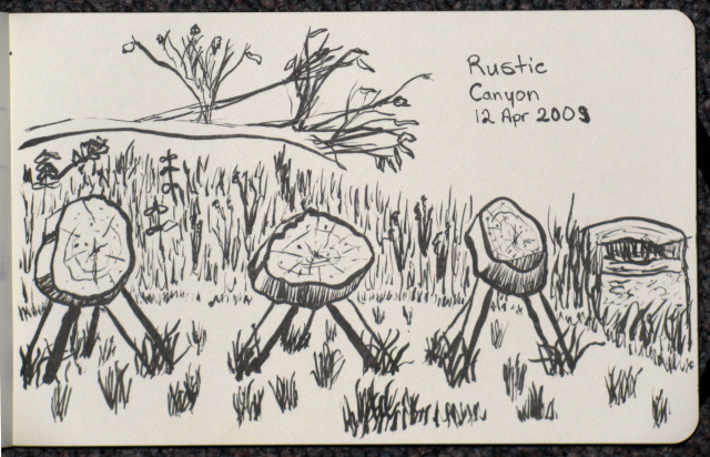
Sketches in the out-of-doors for the month. There's free moments after lunch when conferencing at Asilomar. Another little trek up to the little waterfall. Rustic Canyon is the home of many things, including a Boy Scout Camp. All the way out into the yard.

Switzer Falls

Image
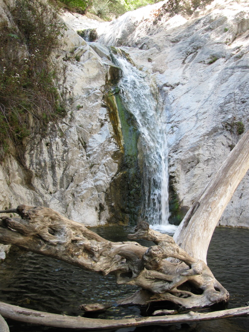
Angeles National Forest Locate the trailhead. Switzer Falls is found just a short way up highway 2, the first stop past the turnoff to the old highway to Lancaster. We found a spot down by the picnic area, so didn't have to hike down the road. It's a very popular spot and there often are no places anywhere. The trail heads downhill with many crossings over the creek. The water was low, so crossings were easy with many many rocks to choose from. It isn't always like that. There is a campground about halfway down as the canyon narrows tightly heading into a few waterfalls, cascades, and rapids. There the trail stays high passing a few scary cliff edges. Eventually it splits with the long trek to JPL on the right and a downhill sprint to the bottom of the tight canyon on the left. Then there's just a few more crossings to get to the bottom of the waterfall that is accessible. The waterfall, which has a bit of a cascade character to it and is only

Rustic Canyon

Image
Will Rogers and Topanga State Parks Locate the trailhead. I was tasked with finding a hike again for the day. This one should be "about three miles" which meant six miles total. I found one that was six miles where most of that was a loop going out of Will Rogers State Park. It seems to be a popular place for Easter with egg hunts adding to the usual soccer game traffic. The games we saw looked like they're probably a city league rather than a bunch of kids. We poked our heads into the barn and outside of it are buried a couple of ol' Will's favorite ponies, one for polo and one for roping. The old polo fields were today's soccer fields. Then we hiked up the loop to the local Inspiration point. We hadn't figured out which trail we were coming back along so thought going up that it didn't matter which way we took that loop. Turned out if we'd looked more carefully we'd have seen the arrow on the edge saying "to Rustic Canyon

Monrovia Canyon Falls

Image
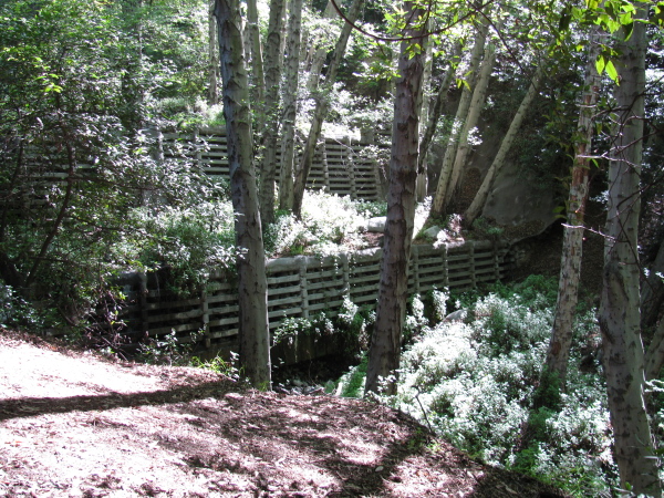
Monrovia Canyon Park Locate the trailhead. We took a second trip of Monrovia Canyon . This time we only did the small canyon with the falls, and not a bit of Sawpit that it is a tributary to. This makes the trail even shorter. We didn't quite do the shortest version, but it was very nearly so. As before, the trail is sometimes narrow, often wide, and always easy. It goes past the old flood control barriers... Where there's a creek, there's flood control. Or it seams that way. Sometimes even very large double bits of flood control like this one.

Fish Creek Canyon and Falls

Image
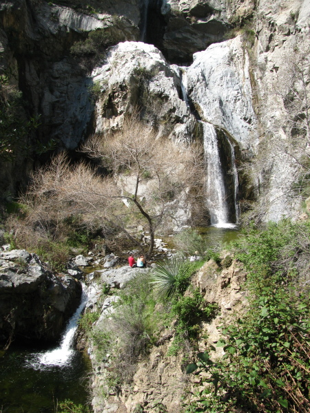
Angeles National Forest Locate the trailhead. Fish Creek was once very accessible but now has a quarry operating at the end of the canyon. Now it can be got at by way of a much longer trail that climbs the ridge and drops into the canyon surrounded by a truly amazing amount of poison oak. This trail seems to be the domain of stringy old hikers who can manage to make it to the trail by 7AM. However, on cerain Saturdays, the quarry runs a shuttle through their operations so that if you can start by noon and be out by 3PM, the average 5-year-old can make it up to the falls. The vans were running today, and I saw a lot of young kids, some of them even walking it themselves. The trail heads out over a bridge and into the canyon, turning a few sharp corners quickly hiding the quarry from view. The canyon itself is rather narrow and steep with water leaking out the left side here and there. The trail stays fairly high up on the left side most of the way until that side becomes

follow by email