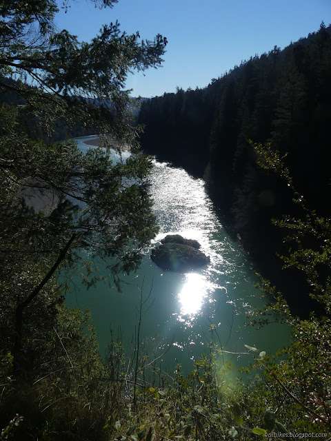
South Fork Elk River

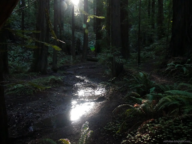
Headwaters Forest Reserve (map link) Since I had spotted the single blooming fetid adderstongue (and the two already seeding!) near Avenue of the Giants, I decided to head up one of the only real climbs around Eureka to see if I could find some more. I had seen many of them before, but all with drooping stalks to seed pods in May and June. It would be something to see all of them when the stalks are stiff and holding up flowers. Unfortunately, wheels were starting to turn and I might not be around for the more opportune time after mid-February. I started up that first paved mile. The South Side Trail was closed, of course, so there was no going around it. The barn along the way used for educational exhibits. The nearly obscured South Fork Elk River water level isn't very high at the moment. The paved ADA accessible portion of the trail ends at Falk after a mile. It gets a little more rolling for the next two miles. There is a slick mud section where land slides have ...