Mad River Sand Spit
Mad River County Park
(map link)
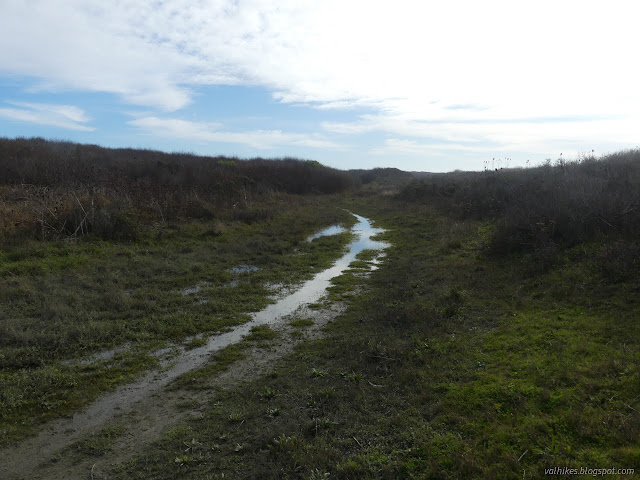
I want to see the river cutting across its built up sandspit so, having no reason to believe it might have got around to doing such a thing, I headed out on the dunes. Again, I decided to flow with the water, downhill all the way, first along the river and then along the beach.

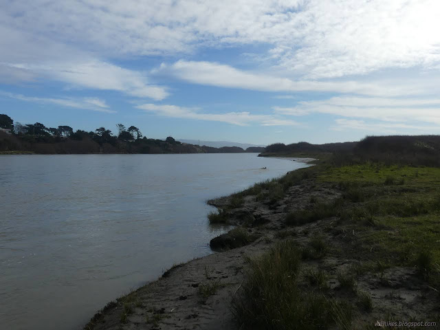
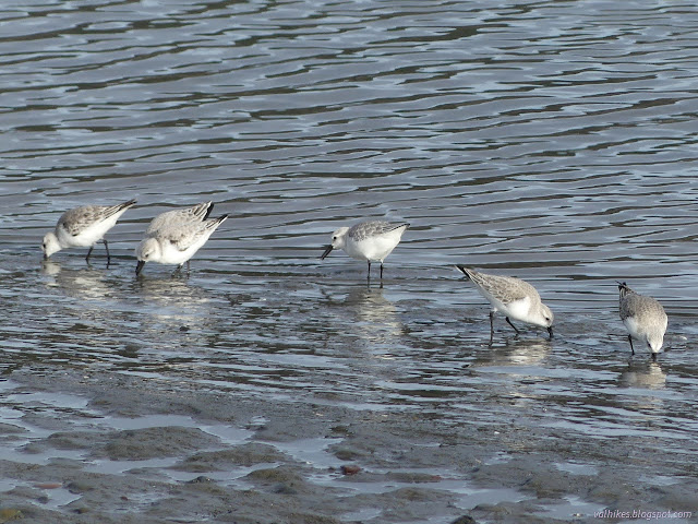
The river is no longer a placid mass of water. Sticks buried in the bottom and sticking out the top were showing a bit of a wake. Not one single lazy nose of a sea-dog was sticking out and looking at me, but that might have more to do with what the fish are doing than the flow of water.
I found the big patch of ice plant and couldn't leave it alone. It's rather vast with scattered pieces, so I probably missed a bit. It wasn't actually the last of it along the sand spit. I had just missed seeing the rest of it because I'd been so close to the river edge. Of course, worse than the ice plant is the marram grass. There's actually some restoration in progress out there, but it's a long progress to get rid of these invasives.
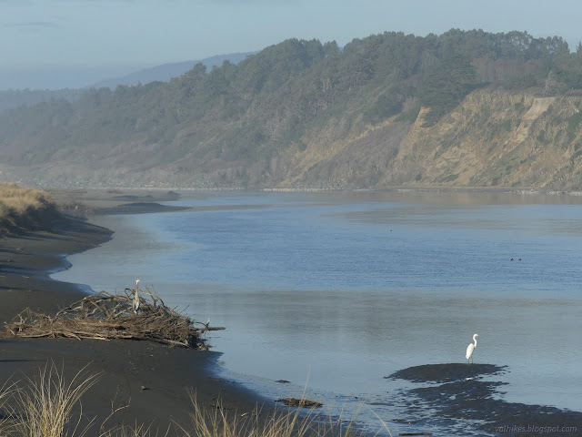
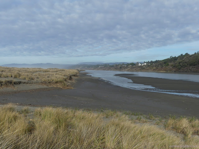
I came to the break in the grass across from the creek. It hadn't completely broken through the sand spit, though. It had certainly been washed by tide or storm.

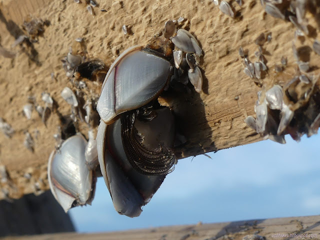
I was thinking I'd turn at this break since I could already see the sand still goes to the hardened river bank, less the width of the river. Then I noticed the chair again, and decided to have a seat on that lookout. Why not? It washed up from something because it is encrusted with barnacles.


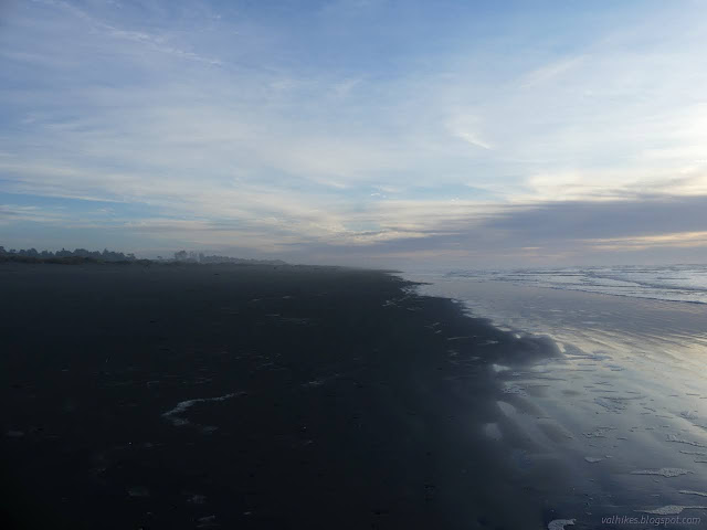
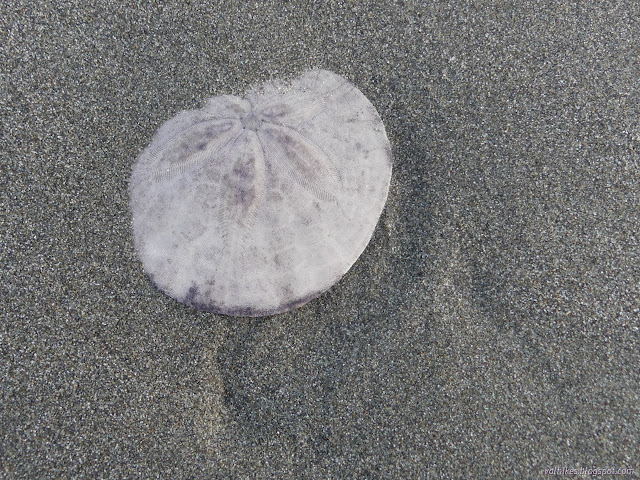
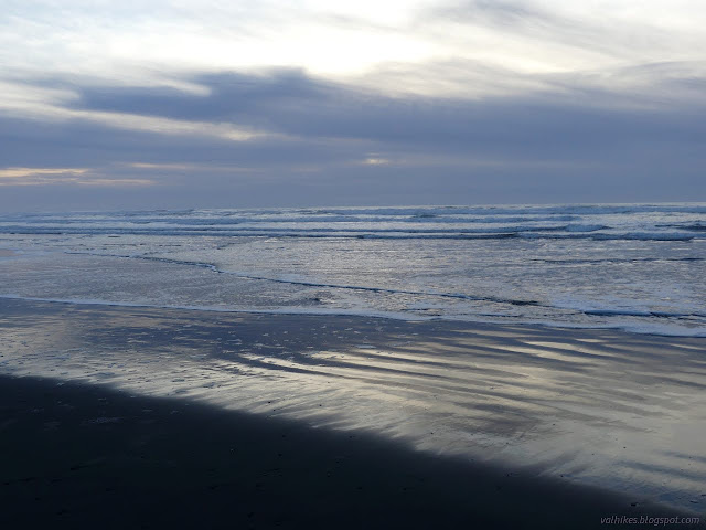
From there, I did start back along the wide beach. The tide was far out, leaving a lot of beach scattered with sand dollars. The muddy, sandy stuff along the river is horrible for walking when wet, but the pure sand is excellent when wet. I generally stayed out in the wet except when something caught my eye.
Since I was trying things, I decided to try out the badly set up swing. It performed as badly as expected plus it bounced a bit hanging from a buried tree rather than a rooted tree.

Maybe if one leans just right? Get enough weight on the short side, which is also a little higher to make it worse. But you could pump it by leaning side to side while standing on it. There's something. It's all quite silly. I headed the rest of the way back. Lots of people were standing around looking toward the west even though it was ten minutes past sunset. The marine layer cloud bank was too thick to see much changing. I climbed up and over the dunes back to the parking lot.
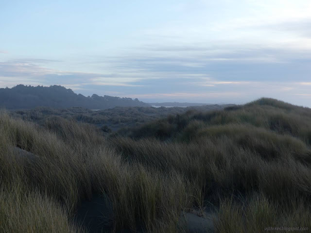
*photo album*
©2022 Valerie Norton
Written 18 Jan 2022
Liked this? Interesting? Click the three bars at the top left for the menu to read more or subscribe!


Comments