Bald Mountain
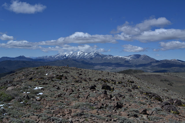
Humboldt-Toiyabe National Forest Click for map. I found a nice camp spot where the USGS map shows three buildings but now there is only a picnic table, campfire ring, and plenty of room tucked in beside the Bald Mountain Wilderness. It is possible that the prime little car accessible starting point is a little up the road from here, but there is not sufficient advantage to bother scraping off the frost to drive up there. Still cold, but not snowing. With my pack stuffed and appropriate maps tucked in, I just start up the low ridge north of the site. There are some bumps along the way it might be easiest to avoid, but otherwise navigation is just to follow it up. Just to be sure I head in the right direction, I estimate the peak position off my map and drop that into the GPS. It is only 2.6 miles away. Current Mountain from a little way up the ridge. The ridge is tree covered and there is not a lot of view except at a few more open spots. Winding through the trees an...