Changing Canyon Interpretive Trail
Humboldt-Toiyabe National Forest
(map link)
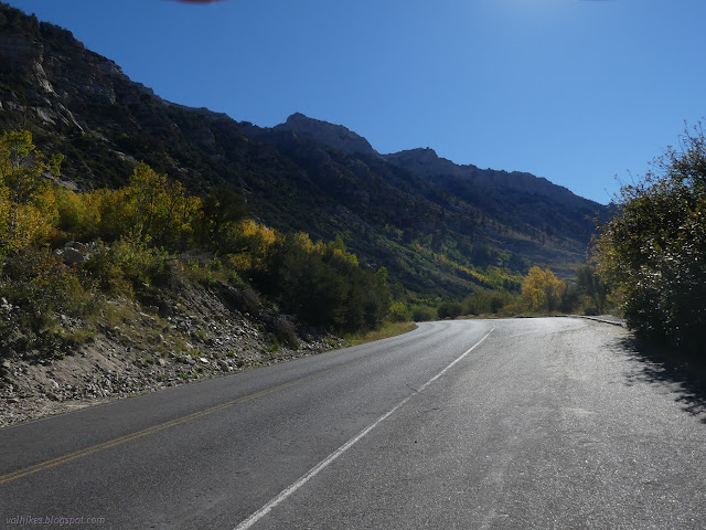
There's no sign on the road for this interpretive trail, but it is easily spotted as the one paved turnout along a section of road marked "no overnight parking". That might be because this bit of canyon isn't quite stable enough to safely park for that long. Further down, there's a 2 mile segment where they don't even want you to stop due to the falling rocks. In between, the road is single lane because a recent fire followed by a debris flow took it out. It was scheduled to be under construction at this time, but that got delayed. Had it not, I wouldn't have been able to visit this part of the forest.


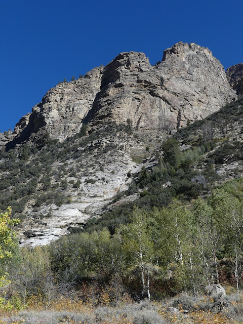
It's all part of the changing canyon. The focus of this trail are those changes as well as slower and regular changes. There does not appear to be an electronic version of the interpretive guide. There are two boxes on the trail, one to pick up guides, and one to leave them. The English ones were all in the end box when I was there, which is only a very short way down the right side. It's probably a good idea to head that way if you want to have one, and then go ahead and shuttle the whole lot to the start box because it doesn't take much effort to be nice to the next few people along.

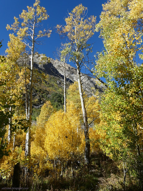
Since I didn't know about the end box and I couldn't make the single Spanish one work for me, I had to start without a guide. The trail swings around to drop to the creek, then climbs up again among the trees. It's only half a mile long. There are many benches, but it is not accessible.


I found plenty of guides when I found the end box. So I got to read the subjects at the end, but it's not the same as having it all the way around.
*Ruby Mountains 2022 photo album*
©2022 Valerie Norton
Written 15 Dec 2022
Liked this? Interesting? Click the three bars at the top left for the menu to read more or subscribe!


Comments