Marble Caves Trail
Shasta-Trinity National Forest

I wanted to do at least one more hike before the end of summer, so I launched myself on a "Hayfork area" excursion. The weather wasn't exactly cooperating with that end-of-summer vibe I was hoping for. For the foreseeable future, it would be well above normal. Fortunately, the foreseeable future with weather is only about a week and half of that is iffy. Still, it was already noon and looking at a high approaching 90°F as I came to the patch of parking for the trail just outside the seasonal gate for Forest Glen Campground. I assume that's what it's for. I asked the fellow tasked with cleaning the bathrooms for the camp where I should park for the trail and he wasn't even aware there was one! I wasn't disheartened though. I'd seen a promising line climbing the hill as I drove in.

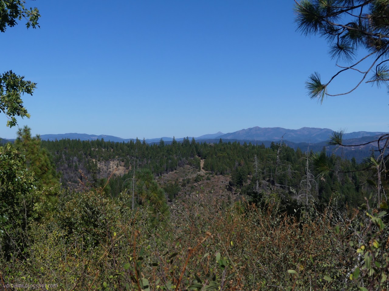
So I packed in an appropriate amount of water, a little over 4L, and tried out that trail. Invisible for the first 20 feet across the flat, but very good tread after that. There's a dozen or so trees down, half of them while it is still above the campground. In spite of the burn scar, I even enjoyed quite a bit of shade as I climbed to views over the South Fork Trinity River.


I climbed the steady upward slope, sipping down plenty of water, with a mind full of Marble Caves that I was sure I'd not have time to see. USGS says they're all the way at the top of the trail and a little way along the road up there. It's a good forest road, so I would get to check that out. The Forest Service marks the caves a bit further down and a little off trail to the west.


The trail gets high enough to start contouring around peaks. The one scruffy and difficult part was as the trail came around the north side of peak 4170. There's a few trees down on it, then it joins up with some fuel break and is clear. There, the difficulty is it's steep. There's even a reassuring "trail" sign nailed to one tree at the steepest bit so you know you're really on trail.


At the far saddle, I was expecting there might be a little more trail than advertised, but only off to the west where the Forest Service says the Marble Caves are. I found a distinct, but narrow, trail headed off to the east too. There was a small hill that interested me and a sense of water that way that interested me and I was only 10 minutes from my determined turn around time, so I decided to see what it all was.


I was almost to closed (a rather soft closure) Flume Gulch Road when I decided to quit and turn around. It is clearly an access trail cutting out all that "tough" climbing. I came up almost 2000 feet in 3 miles, which seems quite reasonable to me. Now I headed down, stopping for a look at the campground.

Unsatisfied with my commitment to find the Marble Caves so far, I headed up that good road where the trail ends to have another try the next day.
And how hot was it?

More than hot enough.
*photo album*
©2024 Valerie Norton
Written 11 Oct 2024
Liked this? Interesting? Click the three bars at the top left for the menu to read more or subscribe!


Comments