South Fork: Downhill All the Way
Shasta-Trinity National Forest

DAY 1 | DAY 2 | DAY 3 | DAY 4 | DAY 5
The logical end point for the day would be Smoky Creek, which did have another camping area that I hadn't used that didn't look too bad. But you know what? I don' wanna, I don' wanna, I don' wanna, and you can't make me. Plus, spending three out of four nights within a mile of each other? Massive eye roll. I decided to only go as far as Saint Jacques Place. It leaves a long day for the finish, but not too long. It would give me a chance to poke around a little. I would be set up for trying the alternate trails, but that looked like two extra miles. Based on my performance so far, it was too long, so I certainly wouldn't be doing that.

My shoes were still moist from the previous day's fording, but that wouldn't last long.


My first excursion wasn't much. I simply had the sense of a possibility of a flat spot enough to camp up the little stream just east of Soap Creek. This is near where a saddle crossing offers possible camping, but is oppressively surrounded by blackened, dead trees. Closer to the water, the trees fared better.

Verdict: in a pinch, it could be camp. The first glance around at the trees didn't cause worry. There's enough flat space for one, maybe two, to lie down. And just enough water to gather flowing past.


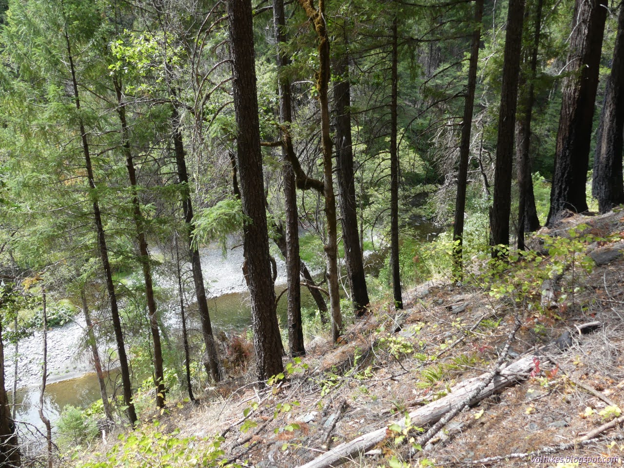
Past Bramlet Place, the river gets into a rocky canyon. I got to wondering what it would be like to float it. It looks like it would be quite a nice spot to have a look from river height. There's loads of big swimming holes along the way. Right now, there's loads of spots that would require walking a raft, too.


My next excursion was on an unnamed point much like Rattlesnake Point, but a little more inviting. I was a little beyond when I doubled back and took the idea of a trail out through first pines surrounded by sticks, then down a drop and through short oaks surrounded by grass. Another drop leads to gravel and the river.


I wandered the gravel a little. There's a shady swimming hole, then the turn and shallow running water down two channels to sunny river reaches.

I wandered back up from the gravel and a little further around the point finding an established camping area, or at least the fire ring people have used, on the west side of the point. There's no water but the river here.


I followed the faint trail back after having my poke around. Back on trail, one is quickly into a more impressive bit of canyon. Surely one must make an effort to float down this.


Soon enough I was rounding the long U to cross Red Mountain Creek and back at Saint Jacques Place.


I dropped my gear and backtracked to the crossing to get some water, but that's not the finish of the day.
There's the biggest excursion of all to do! Somewhere near the former building, the Wilcox Ridge Trail is supposed to break off to cross the river and climb up to a good road. Well, it's also a closed road (according to the MVUM) but it does happen to be the Wilcox Ridge Trailhead Road, which sounds promising for the existence of a trail too. That goes up to another good road (also closed) which goes to another good (but closed) road which gets to Wildwood-Mad River Road (FA 30, not closed). If all of those are really closed, it's a lot of good road you've got to walk. The trail is only about a mile and I thought I might just have a go at it.
Even though I had seen trail down where it should be on the way up the day before, it wasn't easy to find. The second (and last) flag wasn't much help. Routes people have used recently were half a help. The top is just too flat to hold an old, little used trail. However, a little way along, I found it cut into the hillside. Big trees grow up out of it and others lie down across it. One large tree cut for it is soft and misshapen from rot. I traveled below it on the grass, largely.


There's a turn and the old tread comes to an eroded end. Some newer trail that was below it wraps around the downhill side of a knoll that becomes an island when the river runs higher. The little trail drops into the rocks and gravel of the river once past the sheltering knoll. The crossing is a little downstream of what the map indicates. It's also across a swimming hole, but one may stroll around the downstream side and then against the current (it shouldn't be hard) toward a spot on the far side where trail might be found.


Unfortunately, that's as far as my will carried me. I decided against having wet shoes again so I didn't try out that possible ford route and I didn't check to see if the trail I thought I could see hooked into something like trail climbing the slope.

So I wandered along to the upstream side of the sometimes island and experienced the hopping things instead.


There were things about in the deeper pools too.

I followed the bit of trail back around the sometimes island and then followed various thin use trails around the area closer to the river. There's more swimming holes.


Eventually I got all the way back to the higher land near the trail and got about choosing a camp area. I didn't stay quite so close to trail as the built fire ring. There's plenty of flat spaces to chose from. With a little more afternoon, I had some time to just watch the clouds pass the changing oaks.

Same trip, next day ⇒
*photo album*
©2024 Valerie Norton
Written 23 Oct 2024
Liked this? Interesting? Click the three bars at the top left for the menu to read more or subscribe!


Comments