Ukonom: Stanslaw to Monument Lake
Klamath National Forest
DAY 1 | DAY 2 | DAY 3 | DAY 4
Dark blue line for day 1. Click for map.
I'd been given the strong suggestion to head out to Stanslaw Trailhead. Once I found it on the map, I realized it would deliver me into an area I'd thought about extending my loop into. After about 20 miles of 1.5 lane road (not my favorite sort), I arrived. That's as far as I had planned. It was nice to be at higher elevation. Although the sun had climbed higher in the sky, the temperature was comfortable. Signs indicated that since this was the most popular equestrian trailhead, there is an increased emphasis on keeping it clear after a 2017 fire. (Perhaps I should turn on the fire footprints on Caltopo once in a while when planning.) The trail has been fully maintained the last two years, but not yet this year. I think that last part was no longer true because this was the next stop for the saws. I decided I would go to Monument Lake for the night. It was a little long for what was left of the day, but I could do it. I made no more plans. I dumped my trash in the car, created a new, minimal toilet bag with ziplocks out of that trash and paper kindly provided by the Forest Service and got on my way.


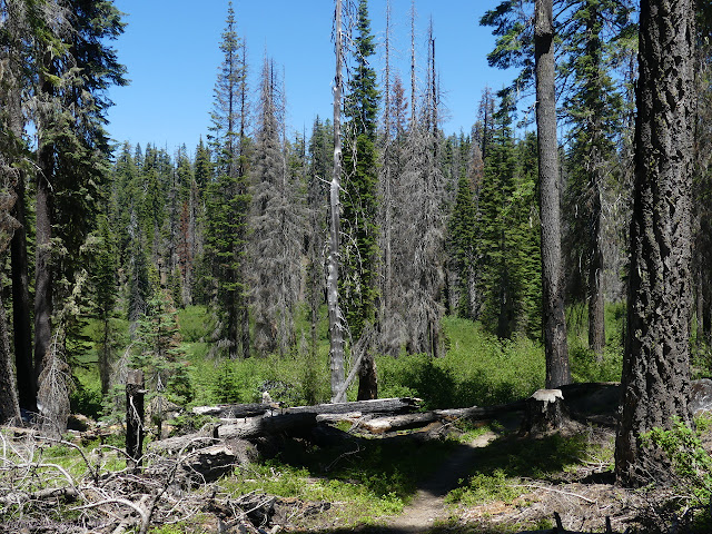
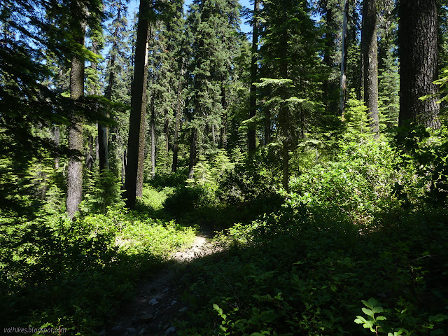
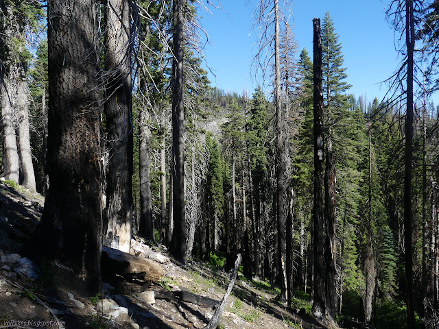
The amount of burn varies and if I don't look up too much, I sometimes miss how much standing dead trees there are. The meadows are green and have a ring of green around them.


By the time I got to the junction with trail from Ten Bear Trailhead (a little shorter drive and longer hike), the burn wasn't evident anymore. I thought that was nice, but probably not the end of it if they are making a point of telling people the current trail status.

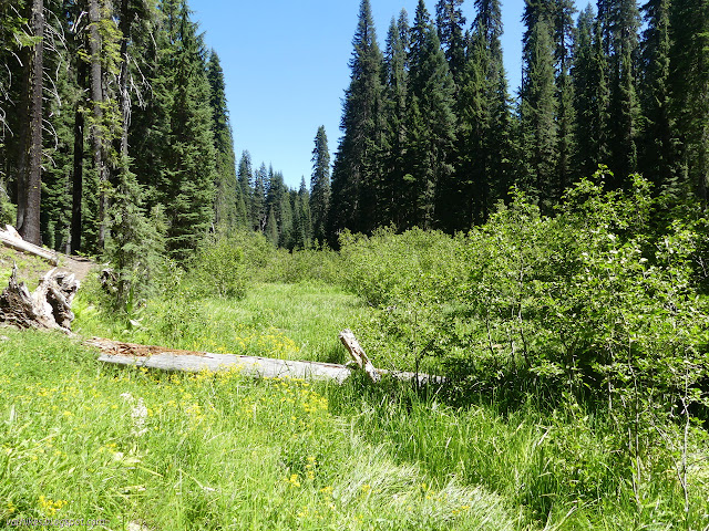
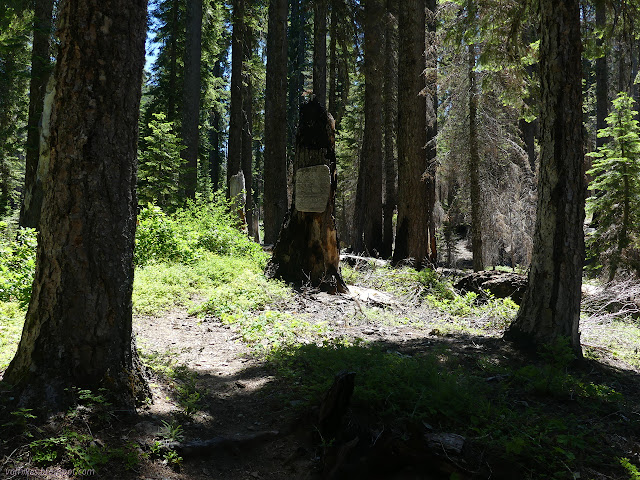
I passed a few trails among the meadows. The first, labeled Torgerson Trail but indicated as McCash Loop on the other signs, gives a second option for a route to Monument Lake. I was thinking the south side would be shorter and so stuck with it. I passed Haypress Trail, which had a sign decorated by ribbons as though people are making sure something continues to mark it. A few steps later, I found Let'er Buck Trail, which was just looking dim. Still, it was being dim across meadow, so that's probably not a fair assessment.

I found myself wandering a badly burned forest, swinging a long way around a hill while my map said I should take a very brief climb over it instead. The trail might have got routed a bit randomly compared to where it was, or it just always was that way and the map just wasn't correct. By Halfmoon Creek, I found trail to Torgerson Meadow for McCash Loop again, giving a second chance at another route but kept again to the south side. I had to stop under the blackened dead trees for water because I was quite out and expecting a few miles of dry. On the far side is trail down to Cedar Meadow. That is where the trail up Medicine Mountain starts. I was tempted to go for it instead, but I didn't want to be surrounded by so much charcoal. It's a few miles off, so I didn't know it actually would be bad, but one does tend to be suspicious when standing among that many dead, partly burned trees.

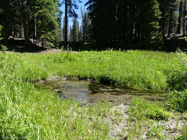
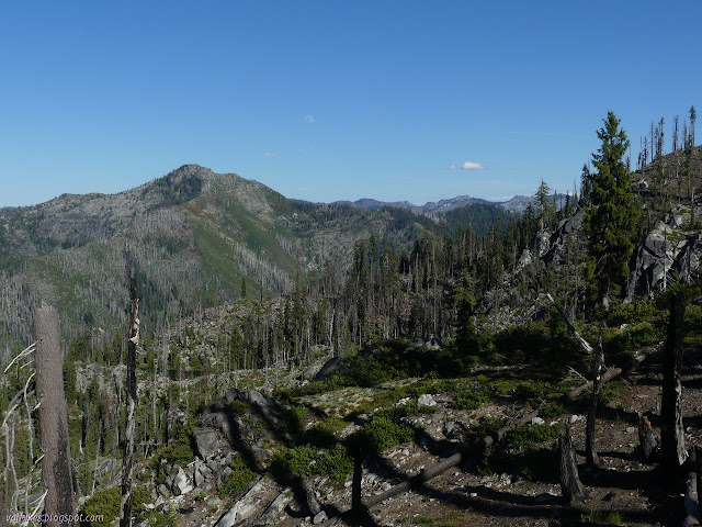
Turns out, there was more water to be found. The trail passes two springs that really were flowing. I was getting glimpses of ridge through the trees. They were just minor teasing for coming over the top of one last ridge.


I wasn't thinking anymore about how healthy or destroyed or whatever the forests looked. I didn't think about how I should have been playing at its feet on this day if the plan hadn't died. I was in for it. Out on the ridge with all sorts of view. I didn't notice as I passed the junction where those other options for going to Monument Lake should rejoin the trail I was on.


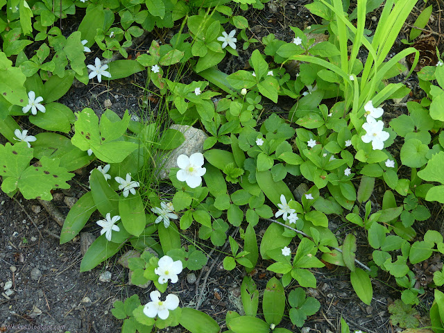
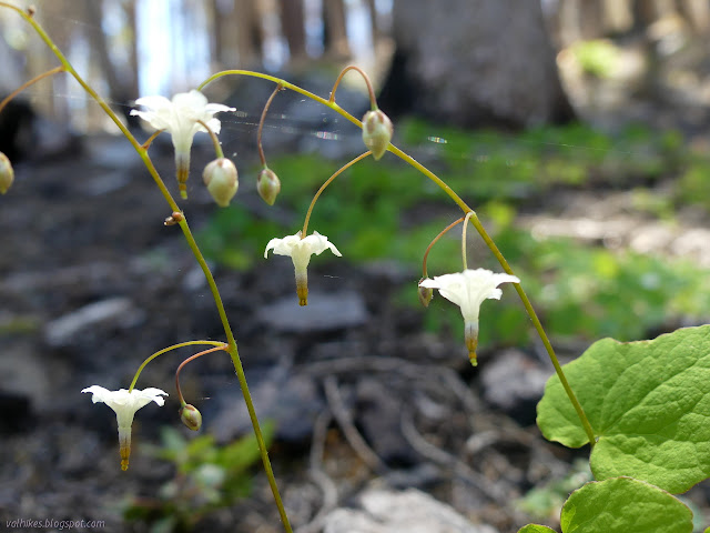
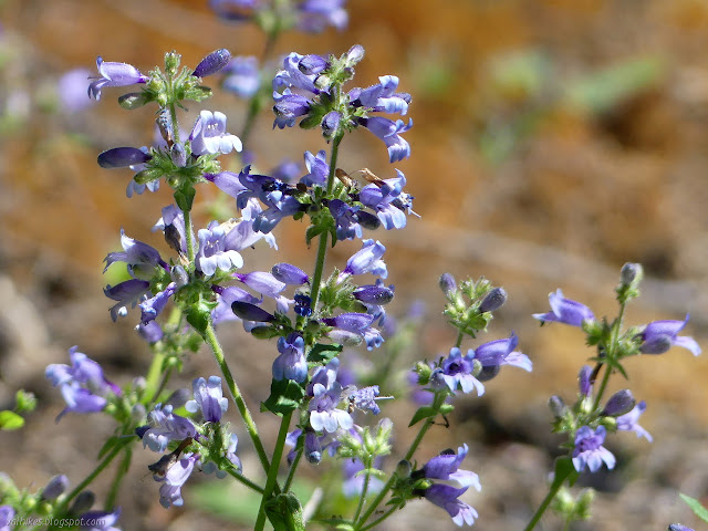
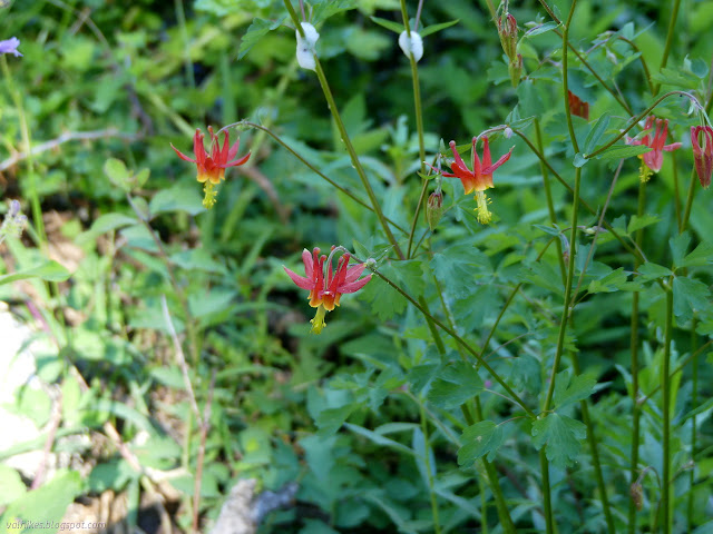
I found the trail down with plenty of light, but the shadow was moving quickly across it. It's about a half mile down 400 feet to the lake and the trail was lined by lots of lovely flowers. Mostly I noted them for photographing on the way up and just enjoyed them on the way down.
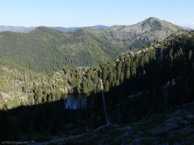
There's a very obvious site just short of the end of the trail on the left, but I didn't like it. There's huge standing dead trees surrounding it. Following trail off to the right, there's another site. The big dead trees were fewer, but I decided to keep looking. I wandered across the meadow along the trail to a rocky area the map indicates the trail comes down to. I think I might have found some old built trail as I climbed up to find what would be a great site so long as the wind wasn't blowing. There's another site down the other side and suggestions of trail continuing a while down. The wind wasn't blowing, so I grabbed the top site.


Continue to the next day ⇒
©2020 Valerie Norton
Written 12 Jul 2020
Written 12 Jul 2020
Liked this? Interesting? Click the three bars at the top left for the menu to read more or subscribe!


Comments