Ukonom: Tickner Benchmark and Ukonom Lake
Klamath National Forest
DAY 1 | DAY 2 | DAY 3 | DAY 4
Purple line marks the day. Click for map.
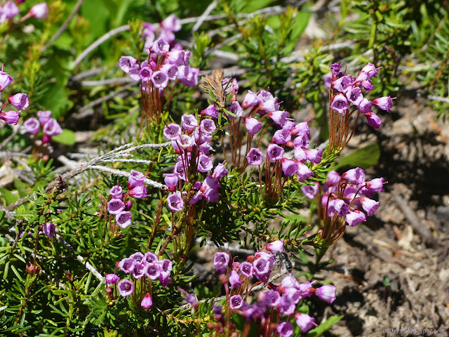
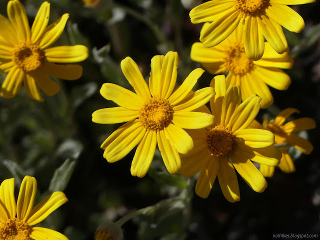
I made a plan to roll along the ridge a little longer, then drop down to Granite Lakes. I figured I'd visit Green Granite Lake and Gold Granite Lake, then camp by Blue Granite Lake before returning the way I came. Or maybe I would visit Blue and camp between Green and Gold. Yeah. It's about the same miles for the day either way. So that was the rest of the trip planned. It's not the more careful construction of a plan done prior, but it would do. I made it a leisurely morning and watched a pair followed by a shaggy dog come down along the ridge above me and I wondered where they might have come from this morning. It's all bad burn for miles where they were coming from. They were the first people I'd seen on the trail. I got to climbing back up to it taking in a few of those plants I'd noted on the way down.


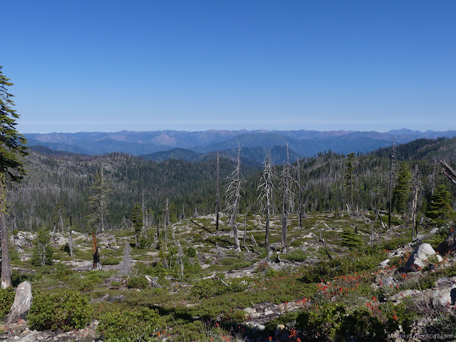
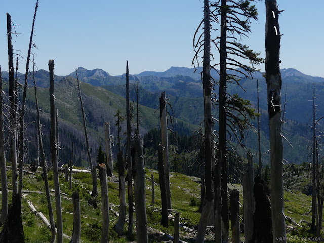
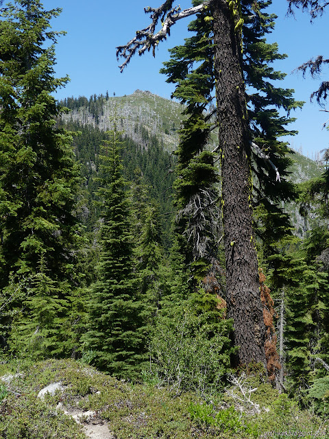
I got back to the top of the ridge and the grand views. That was what I had really gone out for. I wasn't supposed to have been stuck in a canyon. Portions of the ridge show bad burns, but they were just more open views to me. Typical selfish human! The distress of the trees is nothing if it delivers more of what it considers beauty. I also found a secret trail connecting on two sides of a bump. The first connection was smaller and only full of elk prints. The second was larger and the prints I'd noticed on the trail that looked most like my shoes had turned and gone that way.


I joined my planned path briefly from where the trail came up from Bridge Creek and the trail dropped down toward Granite Lakes.


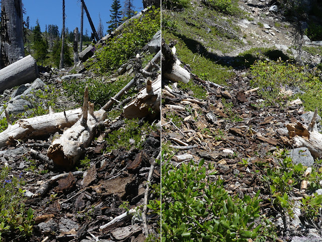
I was told that the trails up around Cuddihy Lakes were certainly good, but when I popped over the ridge and started down toward Granite Lakes, it was clear I'd left the better cared for area. The trail is still generally obvious, but it is decaying. I found a switchback starting to vanish, not helped at all by someone who confusingly decided to cut through a tree along a flat 20 feet above the trail instead of, say, where the trail actually is. The weird thing is the tree was thicker where they cut it. It slowed me down a little, but that is all.

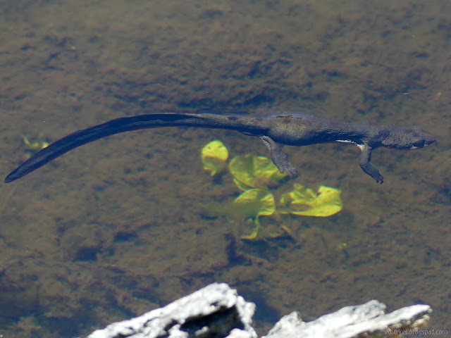
As I passed near a small pond, I stopped and wondered if this one, too, might be full of newts. I settled and really looked and there was movement. Of course they were there. I noticed more and more floating around, walking the bottom, burrowing into the silt even.
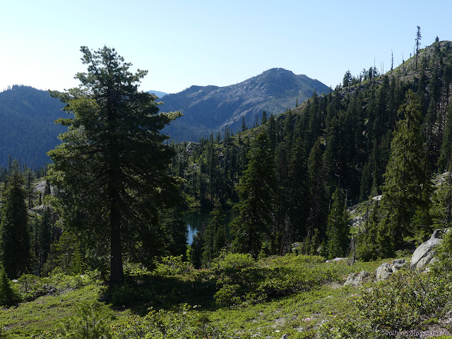
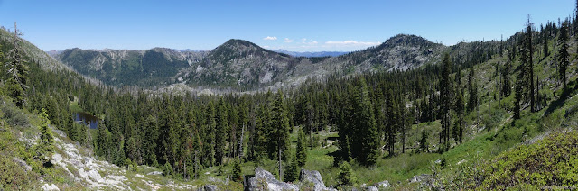
Looking around at all the burn damage around Green Granite and Gold Granite, I decided nope, not gonna go for it after all. I didn't know about Blue Granite, but I noticed if I went for Ukonom Lake there is a loop to be done. It's a little short for the day, but I noticed a peak with a benchmark I could go and tag. So, new plan.
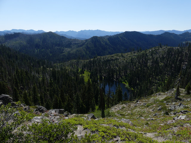
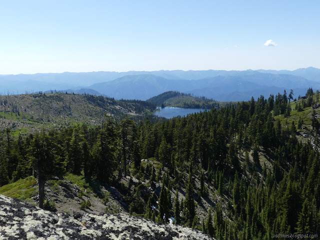
At the junction, I poked my way out along the trail a little to have a better look at the lakes, but was pretty sure there'd be a better view of all of them from the top of the peak.
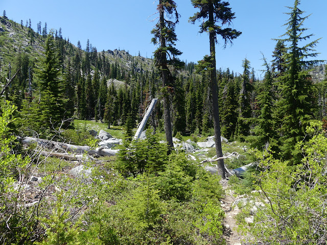
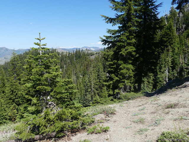
Then I headed up feeling like I might be turning to the lesser used trail once again. It wandered through some pretty little spots along meadow before getting into thick forest.


I came to a sign for Tickner Trail among the trees and turned onto the lesser used trail again to climb the peak. Lots of sticks all over it, but the tread was good, at least until a collection of three well spaced trees on it. A big game trail crossed and I eventually decided it was a switchback that gets missed in both directions. I was wrong, but going up the game trail, I found a ribbon. It had buddies that suggested I should turn back the way I was going along another game trail, then didn't even follow that. The ribbons went along dirt that was clearly not being used by anybody or anything until coming once again to the obvious tread, where there was a pile of sticks blocking the tread and a bunch of ribbons trying to attract future hikers to the new route. I glared at it, then went the few feet to the saddle.

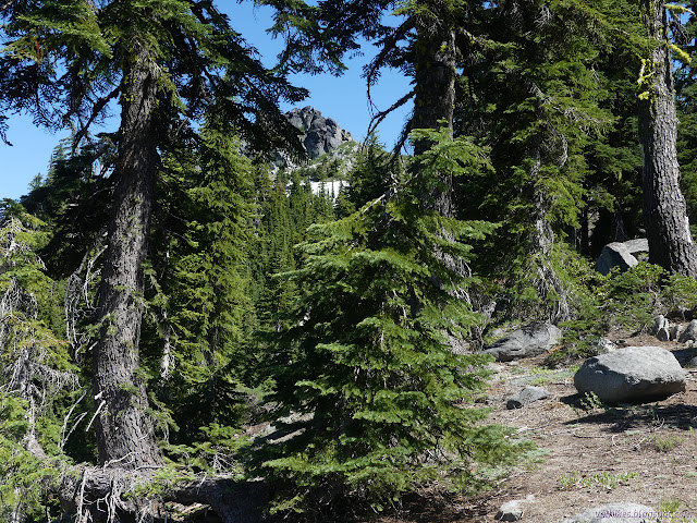
The benchmark is only a quarter mile or so from the trail, so I turned expecting to be there in no time. The manzanita threw up a bit of trouble. I found that there is a region of ease to the north side of the manzanita just before the land slopes off just a little too steeply. I was surprised to see there is still a little snow tucked in next to the peak. I wasn't surprised to find the view ain't half bad from the top.


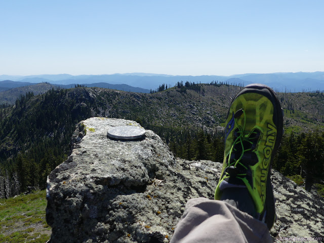
I made my way up the little rock point to find the benchmark. There is an elevation mark at the top and a reference pointing at space. The station has probably dropped down the steep north side.


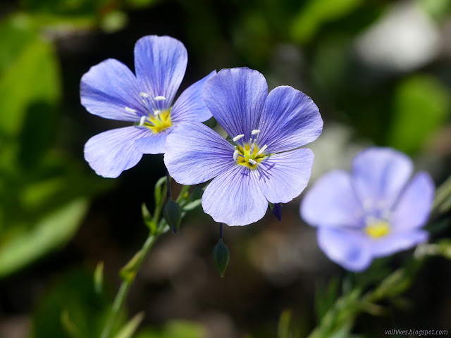
I headed down through the bright, flowery meadow and around the north side of the hard manzanita again.

I came back down the trail and glared at the extreme wrongness of direction going on. I found no explanation for why the trail needs rerouted on the ribbons, so I dumped the sticks across where trail might have started and removed the close ribbons. Then I followed the perfectly good tread down the other side of those same three well spaced logs, over and around them and down where I came up to the signed junction. I still saw no reason for the ribbons. I continued on the way to Ukonom Lake. I started seeing ribbons along that very obvious trail, too, so I guess the fool leaving them managed to get to the trail too.
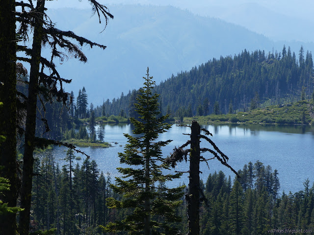

I found myself wandering downhill until the majority of trail users stepped over a log and wandered down to the camp site. I wasn't ever quite sure exactly where the main trail continued, but there was a suggestion of something just before the log. I wandered down the the camp and wandered down to the lake before deciding that I had lots of time to investigate the three springs marked on the map instead of taking lake water. I'm just not all that keen on lake water.

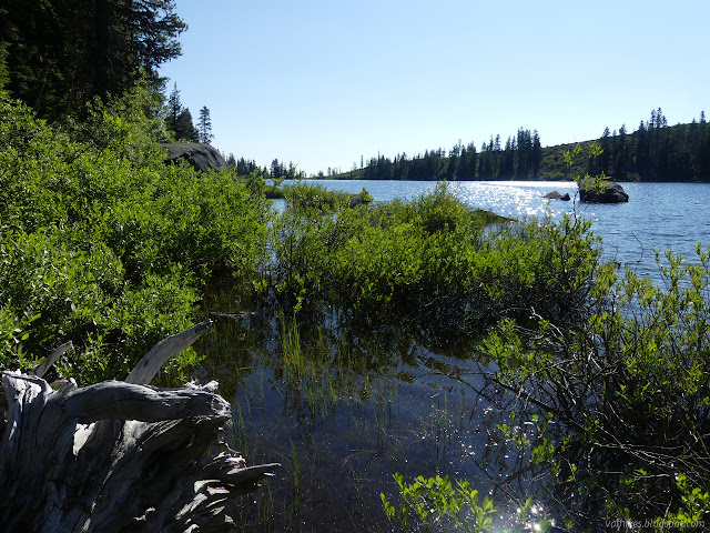
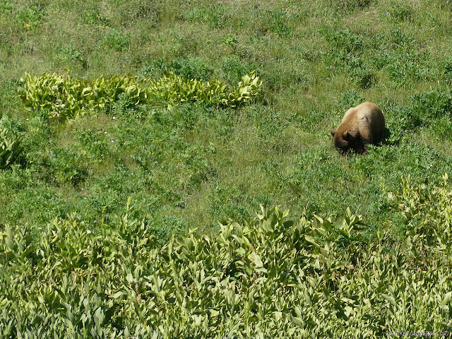
I wandered upward along a trail high in the meadow, but found neither a good water source nor another camp site. I did find a big, beautiful golden bear chowing down on the greens all around. I investigated where the springs were shown and found that there's just a general seep of water between the lower two. I found mud puddles, but nothing more. The higher one is just a confluence of streams. There was a columbine to suggest there might be water below, but nothing I could access.
I explored a bit up the possible trail enough to determine that it probably was trail. I pondered if I might not continue down it about a mile further to another area that looked like it could have camping, then decided to stick with what I knew was fine. The thing is, the trees don't look all that healthy and the most used tent site has a great big, rotten trunk standing a few feet off. I selected a different site, but it had a rather poorly looking tree looking like it was aiming at it too. Then I decided to get out to a rocky part of the lake for easier water collection. As I worked my way over under the forest, I found a little trail out to it and a bigger, nicer camp. Also, easy water collection as expected. I'd already sorted out how I wanted camp set in the other spot, so I didn't move to it. Maybe I should have. It sticks out on a point so that water is on two sides and it's really nice standing out on that rocky point. I thought I really should, just figuring out how I want the other camp set up is a tiny sunk cost, but I didn't.


Continue to the next day ⇒
©2020 Valerie Norton
Written 15 Jul 2020
Liked this? Interesting? Click the three bars at the top left for the menu to read more or subscribe!


Comments