Salmon Mountain: Rock Lake
Shasta-Trinity National Forest
Klamath National Forest
Dark teal line for day 3. Click for map.
(Day 3 of

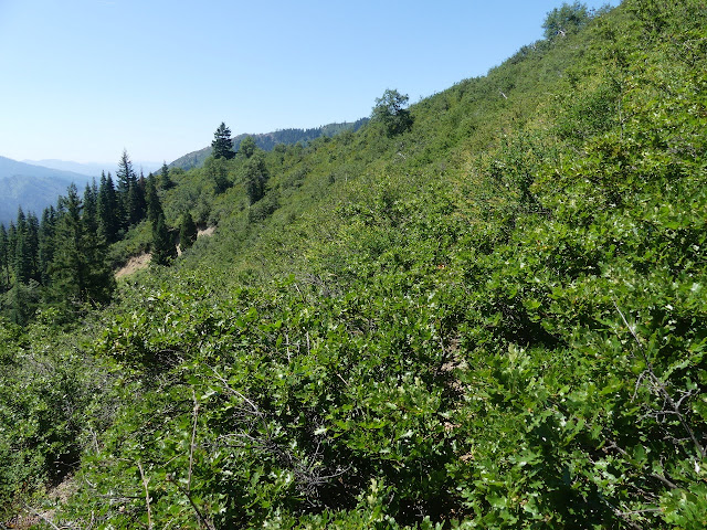
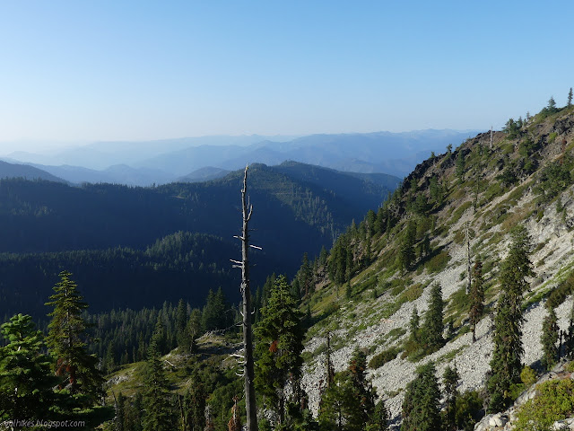
My first task was to find how the trail continued after the bare patch that extended down to my camp. It took a bit of poking. The trail is very dim, but generally rises through the area. I found it eventually. The trail continues to rise where it is brush choked, helping to accentuate that the way back will be harder. The way to that spot was downhill, but felt flat with all the friction offered by the vegetation.

I got to another spot where the mountain was moist and lost the trail again. I fought against the immediate thought that perhaps I should just turn back. My search for trail turned up a driver's license and other cards proving other people come through here. I knew that from the bushes. I never had to stoop to push through them. If only bears came this way, I would have to crawl. Deer will keep it open higher, but there is a lot of stooping and crouching involved for a human on that path. These paths allow me to walk. Well, they allow me to swim a breast stroke through the bushes in an upright posture. People do come here. I picked up the plastic. The cards were faded and expired. Whatever pack explosion put them there happened a while back.


Once found, I continued on the trail only to find myself searching again after another short walk. The refrain of "maybe I should turn back" rose quickly again. It wasn't the searching. That's just a game. It was the anticipation of the "reward" for finding the rest of the trail. I told myself just five more miles, but there was nothing "just" about those five miles. They promised to be arduous and they would all need to be faced again on the way back. If I'm going to be thinking "maybe I should turn back" every eighth of a mile, perhaps I should get it over with and do it? I might have got there, but those people pressing through those bushes have greater perseverance than I. I got it over with. I turned back.
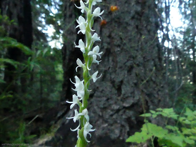
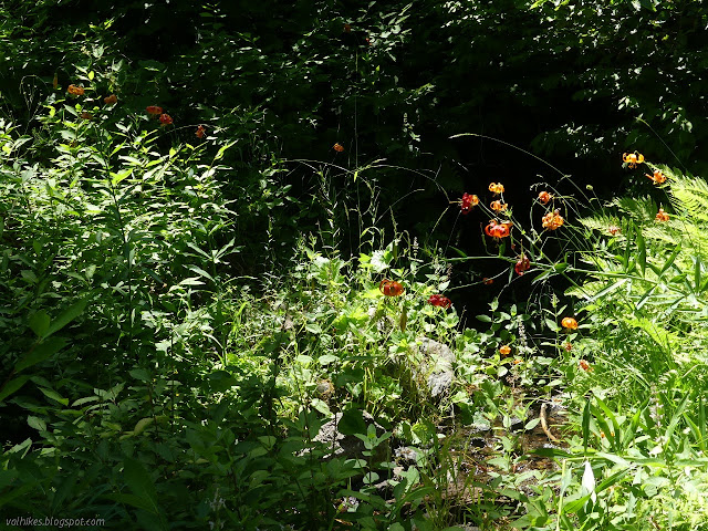
I noticed the fire ring near where I found the cards on the way back. It sat beside some flat, dry ground and could be a spot either of desire or of desperation. The outdoor space it offered felt small to me, closed in by the trees, but rather pleasant with the flowers and it is always nice to have a water source.

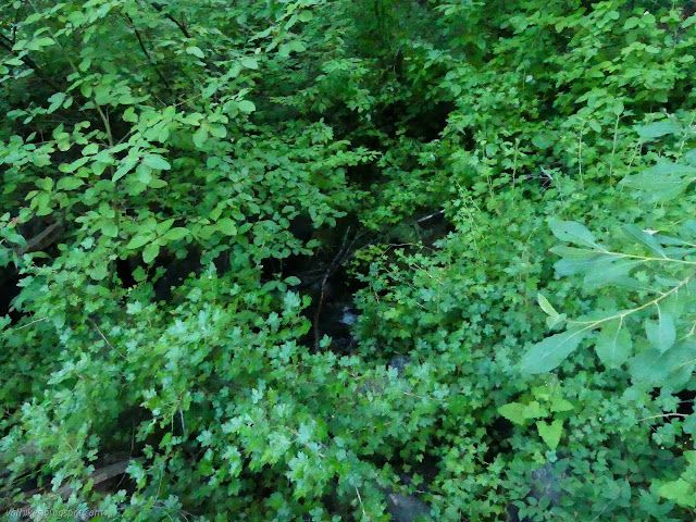
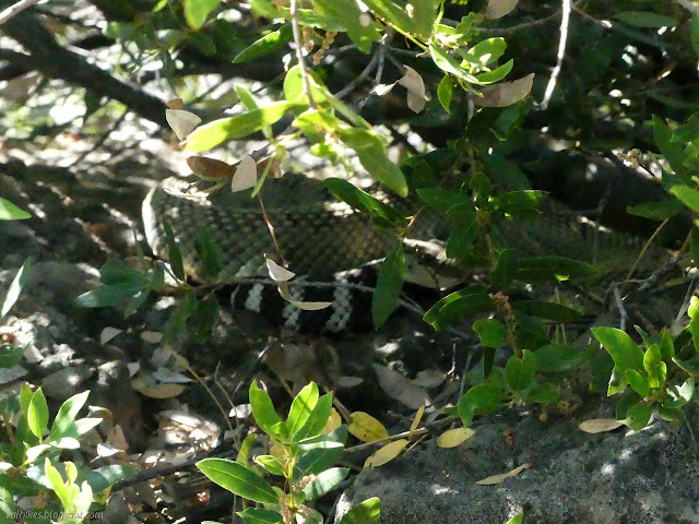
A snake crossed my path about 200 feet short of my camp, bumping and rattling as it went. Always nice to know there's one nearby. It was already warm, which contributed to turning back. I'm pretty sure that when the chance of thunder storms fizzled, so did the supposed cooler air I was supposed to have. I climbed back through the bushes that were a real pain with the water for camping and back down to the rushing water.
The water is the low point, give or take. I started to climb. A bush gave a soft noise with each step as I passed it. I didn't quite react, but I looked and noticed a pattern in the shade. It was not of the diamonds along the back but of the stripes around the tail, but it gave me pause. Two rattlesnakes before 10AM.
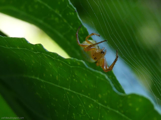
So I worked my way back up and with every step got more comfortable for putting a bit of brushy trail behind me instead of the promise of brushy trail ahead of me. (I also started to get flashing red messages from the camera to finally remember I'd set the ISO to 6400 and every photo I had taken up to that point was ruined by noise. Oops. Ouch. That snake picture could have been so much cooler.)

I arrived back at the saddle and junctions and decided to have a better look for the Eagle Creek Trail this time. I poked downward and even found a line of open space with cut bits of wood in it, but I think the trail leaves off at the furthest west point where the more visible trail starts leaving to the right. It should cross around the side of the minor peak before gaining the ridge to drop downward. It very well might be getting a few people walking it, too.
I was sure looking forward to the next bit of shady trail, but it wasn't yet shady in the morning. It was still nice for being a stretch with no need to swim through bushes closing in over it.

I thought a bit about perhaps taking the camp site at the saddle east of Youngs Mountain and maybe using it as a base to climb it and Potato Mountain. Nope. I was quite tempted to see if I could just hike up and over Youngs Mountain rather than around, but I needed to get more water so skipping the nice little stream seemed a poor choice. Under the forest, I kicked a lot of sticks off the trail. If not me, then who? The bears clearly don't like them and are walking on the outside away from them, gradually moving the trail downhill away from the nice, flat tread.


The trail wasn't quite so badly choked with vegetation as my memory claimed. There was way too much, but it wasn't even half the route. It was dreadfully hot. I didn't really want to look and see how hot. Advantage to the head high and higher brush because it made the local area cooler.
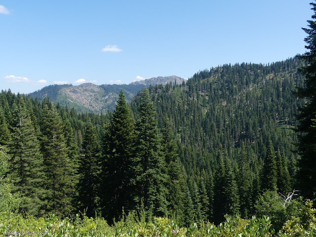

Once up on the ridge again, I felt finished with the brush, but that's not true either. There's brush up there, I just hadn't hit enough of it to be dreading it yet. Still, it's not too bad and only sometimes tries to get me lost.


As I passed the Salmon Summit Mine, I noticed quite a few mosquitoes. There probably is water around there somewhere. I didn't go poking up to the mine to see where, although that is the obvious place to check. I figured it was late enough to be sitting comfortably in the sun at Rock Lake, so I might as well get there. Is the trail passable? Yep, I even managed to stick to it the whole way, finding my way through the bushy spot without too much trouble, but almost wandering off at a couple points before noticing I was getting off trail. It is a hard bit of trail to travel.
Down the other side was as easy as I remembered. Lots of good trail and a one tree to get over with a step. I decided to take the camp on the rocks north of the lake. It's a bit close to the trail, but who would be coming along? A Friday could have someone, but no one did.
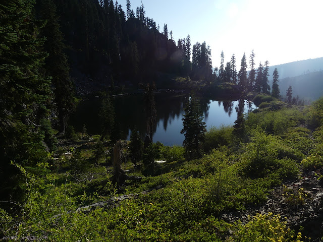

It's rather disturbing that there are fewer mosquitoes by Rock Lake than by Salmon Summit Mine. I did finally spot a possible amphibian in it. Something came up to the surface, then dropped back down into the debris in the bottom. It was bright orange on the bottom like a newt and moved a bit more like a fish. Probably a newt. It showed only once. I eventually headed back up to get food and set out directly under the stars once again.


The sun vanished behind a ridge rather than having a proper bit of setting, but I could watch the colors play out on the smoke to the north. I dropped to sleep, but apparently I had set some internal alarm because I woke a little after midnight when the sun had set to find the comet out. It was close to the horizon where stars were vanishing in smoke and distant city glow, but it was visible. It seemed to be a vertical line rising from a point above Salmon Mountain. I decided to have a go at playing with the camera again and this time managed to get it to an 8 second exposure but could not actually see where I was aiming. Getting a picture of the comet still didn't work. On the ground, plants were in the way of anything low in the sky. I then set it on the bear canister, but that had too much vibration. The image I wanted had passed by the time I got things sorted anyway. It was still fun to watch the visitor another hour or so before falling back to sleep.

Continue to the next day ⇒
©2020 Valerie Norton
Written 31 Jul 2020
Liked this? Interesting? Click the three bars at the top left for the menu to read more or subscribe!


Comments