Salmon Mountain: Humboldt County high point
Six Rivers National Forest
Klamath National Forest
DAY 1 | DAY 2 | DAY 3 | DAY 4
Pink line for day 1. Click for map.
(Day 1 of
Unfortunately, it does seem to have become smoke season. I passed the Milepost 21 Fire and fire crew setting up on CA-96. It started Monday and closed the road a little on Tuesday and they're figuring to start actually fighting it at noon since it is on the way to high value timber. There's a lot of back roads between and the breeze was faint, so it wasn't a real worry. The smoke still made me worry. The information board had actual trail information posted on it. The trail to Red Cap Lake was logged out in 2019 and the trail out the other side is "hard to find". A pair in a Subaru stopped to chat saying they'd had Red Cap to themselves the last several days and not found the trail out after two days of searching. I decided sidestep that difficulty by going after the peak first instead of leaving it as a sort of desert to the end when it might well be a lot smokier. Also, it makes more logistical sense with the thought that I would probably be hiking a bit of the Devils Backbone Trail instead of getting a lot of the long ridge followed by Salmon Summit Trail as it goes east.

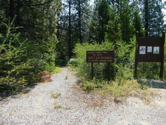
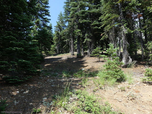
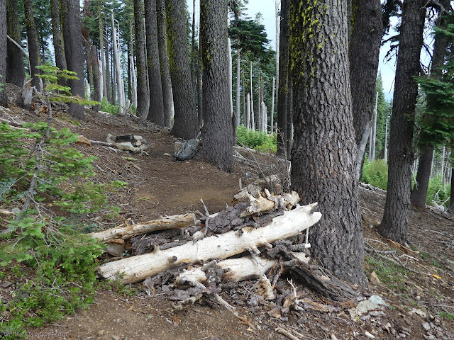
The trail starts off among big old trees with plenty of shade. There is a corral off to the side after just 100 feet. There is trail to Orleans Mountain and rumor has it the trail past the corral will get there. A signed junction is further up where the map indicates, but I didn't see the sign. It looks a bit like a signed junction for something next to the wilderness boundary where there is a camp, but only Red Cap is noted on the sign. I did notice the second signed junction for Orleans Mountain just past the wilderness sign, but very little of a trail there.
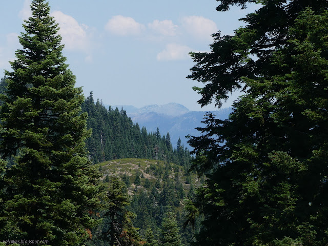
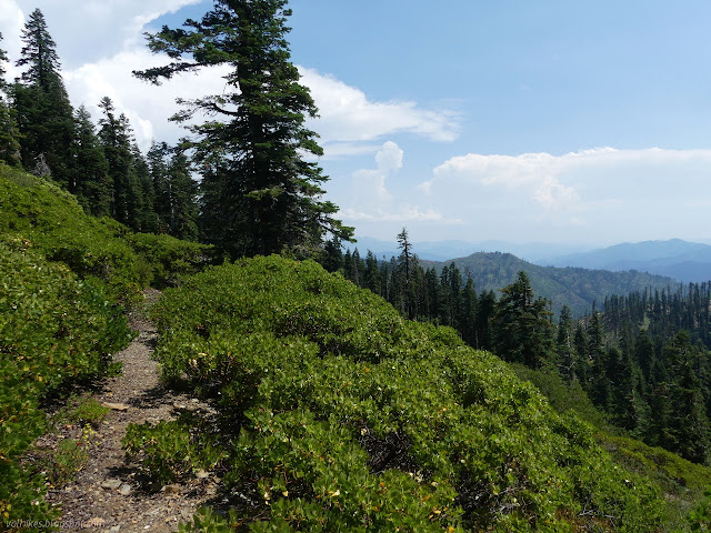
The trail breaks out into the open along the ridge. There's old fuel break line between the peaks and it looks like people sometimes go off up Whitneys Peak along it. It was hot out on the bare ridges, but it also tended to be downhill or short.


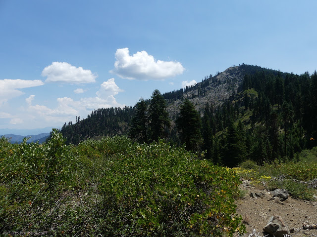
The mountain comes along quickly enough. Some people just putter up the steep side. I doubt it is all that hard. I planned for the easy side with less gain required from trail. I wasn't feeling very pressed for time.
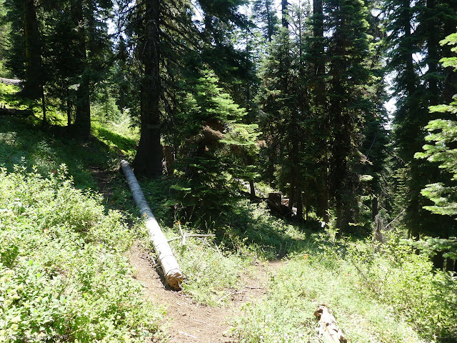
The trail junction is obvious, but it is quickly clear that the trail clearing only goes to the lake rather than along Salmon Summit, national recreation trail or not. I rather suspect it was just several weeks ago rather than last year, too. It doesn't matter so much since none of the downed trees is especially hard to pass.


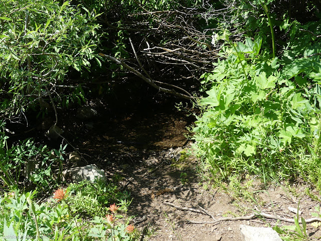
There's no sign to show the split for trail that passes High Spring and drops to Red Cap Trail below and trail that stays high. I wanted to check on the spring because I might want to use it later, so I started poking around to find it. The map shows the split a little early, so it took a little while to find that it leaves at a line of rocks. It took additional poking to find that it passes above the spring. Except for the area directly below the spring, the area is open enough to easily wander. The slightest bit more poking and I found the camp as well.

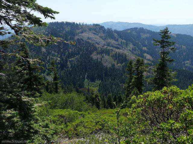
I dropped off some heavier gear near the spring and started for the peak. At the high point for the trail, which is an old bulldozer path there, just before a pair of large fallen trees, is another track starting up the mountain. That was my path to the top. Around a small tree, I found a large cairn because it has been the path for many others, too. The track faded in a large meadow. I climbed a little more steeply across it to a flat area toward the top and found more cairns. At the top, there seems to be an old established trail. It's a pretty easy walk to the top.
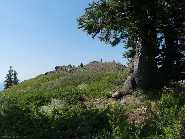

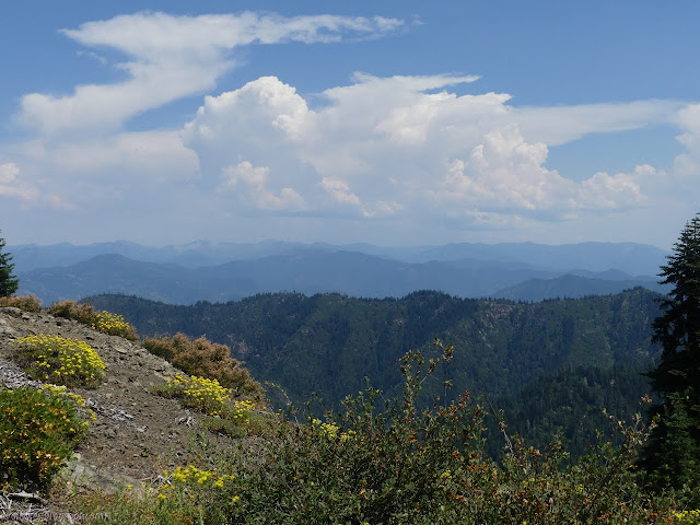
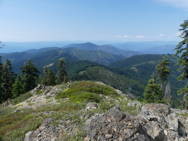
At the top, I set about a rather fruitless search for benchmarks. I ranged far and wide among the outcrops of rocks. I had to get to the next outcrop north to get past a couple trees and really get the view anyway.


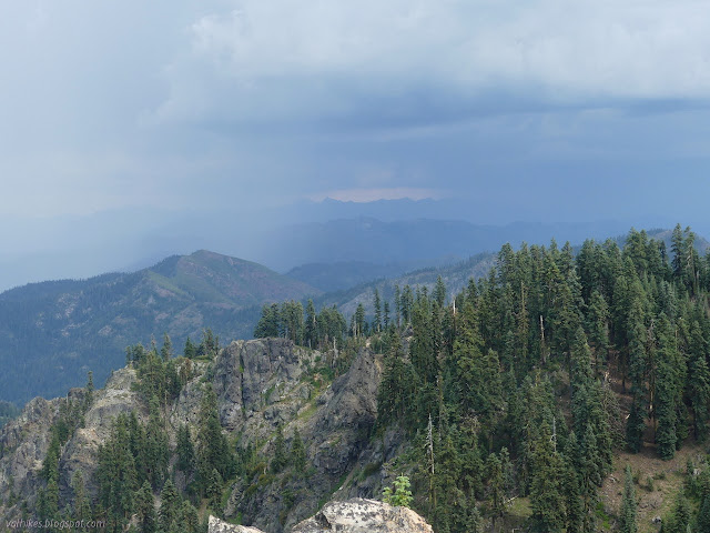
I sat at the top near the edge of the blue sky watching the storm. I'm not sure how heavy, but there was certainly some rain in places, sprinkling in others. I watched lightning come down and even tried to take a picture. Of course, I'm way too slow. (The storm set off 15 fires, mostly tree fires and all small.)
I headed back down, wandering a bit onto the shoulder where counties and forests meet, but then turned back to drop along the meadow like my path up. I decided to make use of the camp and spring this evening, so picked up my stuff and brought it the few feet to the camp. It had a nice flat area dug out, but also had a number of old trash caches all around. That plastic certainly didn't look that old and, frankly, neither did most the cans. There were bits of ripped tarp and plastic sheeting down the hill. Someone put little dead trees along the edge of the tent space as if to make a blind looking out over the trail to the spring. I've had at least one hunter tell me that sort of thing is illegal, but the rest of the camp doesn't exactly indicate an individual who cares. On about the fourth time past, I finally noticed that the trail was flagged with a translucent orange ribbon or two near the spring. I hoped those weren't the same ones used in whatever area I might actually need them.
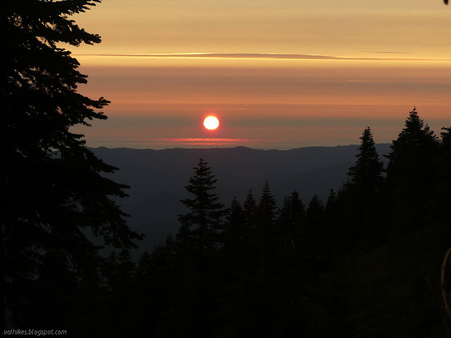
I had a lot of time to wonder if I actually had time to continue on the Rock Lake over about three miles of uncertain trail. (There probably was just enough time.) I also wasn't certain what the weather would bring me and my only rain protection was the tent. I set it up. The air got very cool in the evening and the sun set apparently over the ocean, so it wasn't all bad. No rain came that far west.


Continue to the next day ⇒
©2020 Valerie Norton
Written 29 Jul 2020
Liked this? Interesting? Click the three bars at the top left for the menu to read more or subscribe!


Comments