Ukonom: Long Meadow
Klamath National Forest
DAY 1 | DAY 2 | DAY 3 | DAY 4
Light blue line marks the day. Click for map.
I didn't have far to go to finish and half of it was repeat miles. The prospect of greener pastures was still a nice motivation to get moving. I headed down, sometimes at an atrocious angle for a trail while noticing old bits of trail off to the side from when it didn't go directly down. There had been some work on it since the last fire, some of it on some rather large trees and some on the new shorter, steeper trail instead of restoring the switchbacks.

This time while packing I'd found I was missing a bandanna I got free at some trail work thing. Arg. I'm okay with this odd happening of finding bears every second day. That's fine as a tradition. Losing things is not good at all. At least this bit of organic cotton is biodegradable. I had no idea where it might have got dropped.

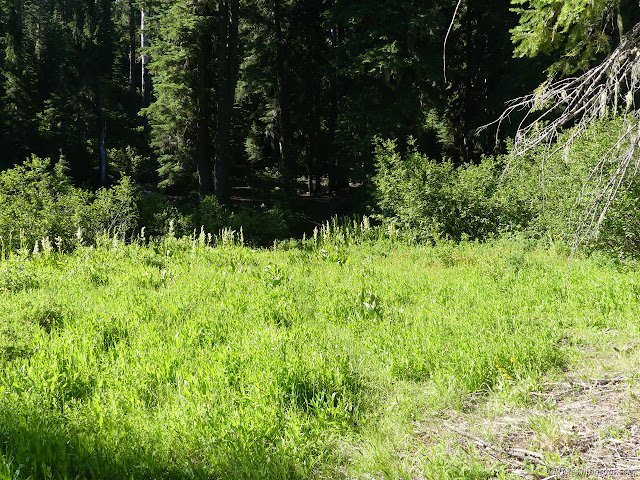
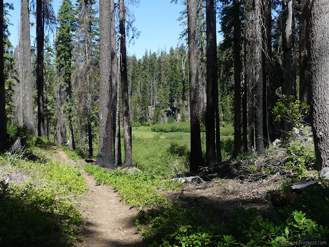
When I got down to the meadow, life (or hiking anyway) was easy except for very minor route finding challenges when the trail got too close to the meadow.


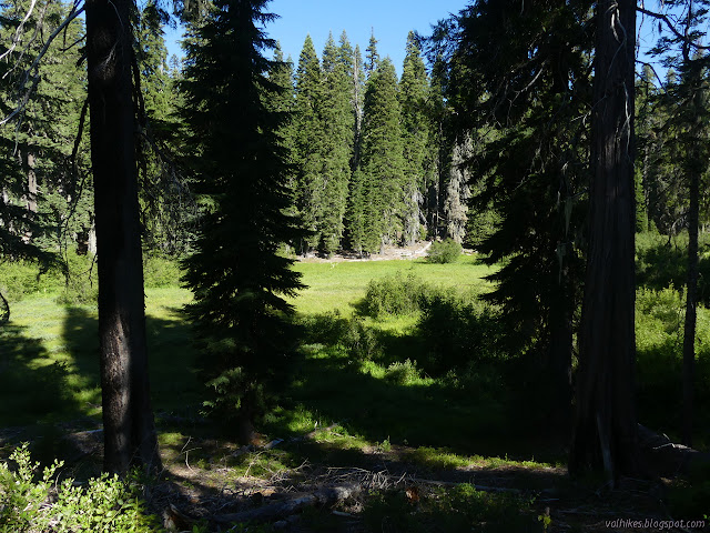
Then I had the strange experience of looking across the meadow at perfectly good, maintained trail on the far side. Someone else had poked along through the meadow before me and probably a few historically. Rocks had been tossed into the crossing to make it easier to do keeping feet dry. Getting up to the trail was a little steep. It sure looked more used.

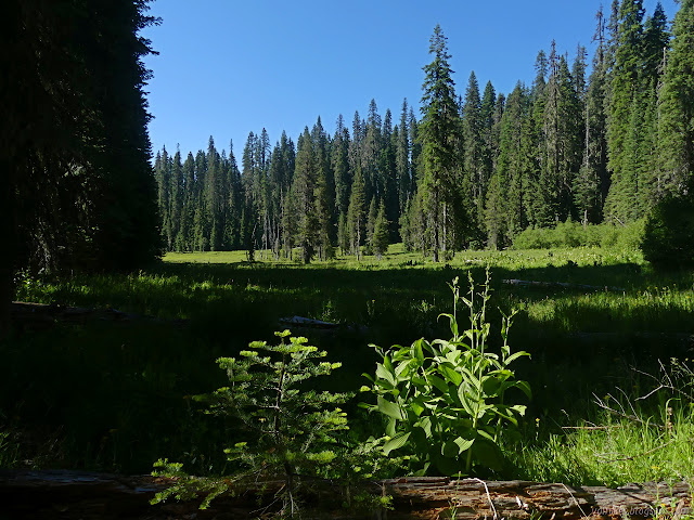
I turned back the way I'd come to see how far the trail parallels. I was not in any rush after all. It went a while, then started to climb up and away. I finally looked at the map to see that I'd shortcut a little piece of trail that loops around further downstream. The hill was the climb out of Long Meadow to Big Meadow.

When I checked my location again, I seemed to be on the wrong side of Big Meadow and gradually getting further from the trail indicated on the map. The trail I was on certainly had young tread, but someone had cut away all the logs it crossed. Maybe it was a reroute? Nope, it was guerrilla trail.

The trail that was so blatant suddenly became indistinct in view of official trail. The people using it had dispersed their footsteps at the very end. It just sort of snuck out of the woods. I took the right to finish the hike.


That was one pretty good trip only marred by the fact that I was already covered in itchy mosquito bites, watching a couple tick bites for bad reactions, and generally breaking out with poison oak from the abortive first trip.
©2020 Valerie Norton
Written 17 Jul 2020
Liked this? Interesting? Click the three bars at the top left for the menu to read more or subscribe!


Comments
However, to each their own. I personally would like to try the area again, but from someplace like the Norcross Trailhead. I think I'd want to check out Trickner Hole on the way up. I definitely think I missed out by not visiting at least Blue Granite Lake. That all gets me in range to try for Medicine Mountain. It was obviously good trail over toward Marble Mountain and I should certainly check out the Sky High Lakes area. That portion by Lovers Camp Trailhead is well used, so I'm not too worried about the trail condition there. Then I have that second route back via Rainy Valley or could do a little PCT and Kelsey Trail.
The greatest amount of trail work isn't done with a saw or clippers but by feet hitting the ground establishing and preserving the tread. Just hiking the trails helps keep them clear of sticks and rocks and any other debris, holds back the bushes a little, and just keeps things visible.
Now fire... it is a complicated thing and I try to remember that and have a complicated reaction to it. It is certainly hard when seeing the three miles or so of charred toothpicks that were once trees in the footprint of the 2017 Haypress Fire. Not only are the trees gone, but the fire burned so hot or long that the seeds in the ground died and there is very little growing. There is nothing for that one but to cry. Unfortunately, there is a little bit of too much love that helped get it that way. The legacy of ~100 years of fire suppression left many forests covered in huge fuel loads. Compounding that is that many areas end up with more trees growing than the land can really carry and all of them are much weaker than they need to be to survive the inevitable fire. Right now, it's getting hard to find a high place that hasn't had a bad burn. The current fires in nearby Trinity Alps Wilderness are lightning caused, so that's more high places getting burned. It will not stay there. The landscape was shaped by fires by Native Americans for some 12000 years before the latest years of suppression. It kept the forest floors more open and produced more meadows than are seen now. It's downright complicated. It's going to get worse before it gets better, but I do expect it to get better again. Unfortunately, that will happen on the time scale of forests, so in another ~100 years.