Salmon Mountain: Salmon Summit
Six Rivers National Forest
Shasta-Trinity National Forest
Klamath National Forest
DAY 1 | DAY 2 | DAY 3 | DAY 4
Orange line for day 2. Click for map.
(Day 2 of
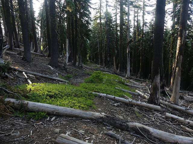

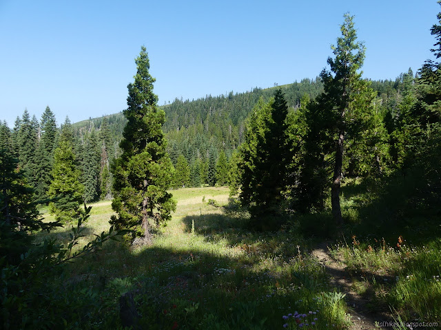
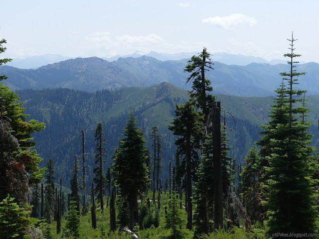
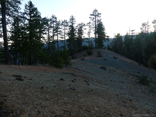
Once I had pressed my way through the bushes to get under the trees again, I could find no sign of old trail. I made my way along game trails doing approximately as the map suggested. There were more burned spots, but these were turning into meadows. While not always easy hiking, it was nice, especially once it regained the ridge.


I got to Salmon Summit to find I had come along the least traveled route. Most of travel comes up from High Point and turns to climb up to Rock Lake. The trails to Rock Lake and Red Cap Lake are even signed. I was hopeful that the next bit of trail would be pretty easy to follow and hike. It could certainly use a little work, but was indeed easy to follow and hike.


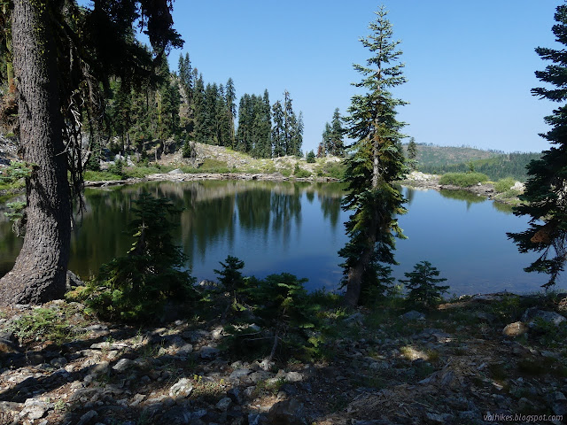
The land gets a bit more vertical around the area of the lake and the trail is built into the rocks. At the lake, I found well used camp sites to the east and lesser used ones among the rocks north and west. No running water was anyway. The lake was about five feet too low to be spilling. There didn't seem to be much life, either. I could see small things with paddles and others pretending to be sticks, but nothing else. It has probably had quite a few swimmers, but I needed water so that's what I had to get.
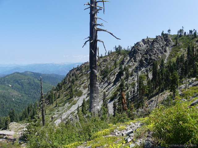
Then I turned to the trail east of Rock Lake that others have claimed to be impassible. It was also built into the rocks. A slide could be a big problem, but it sure looked just as well used as the trail coming in. I found nothing wrong with it all the way up to where it passes over the ridge. There were even footprints on it.
The trail coming down the other side is not so good. Over the top, a pair of trees sit on top of a switchback. It makes the trail hard to see, not impassible. There are more switchbacks coming down and then it gets into heavy brush with trees up past my waist fallen across. I did give up the trail for about 100 feet to continue, but nothing was remotely like impassible all the way down to the junction with the Virgin Creek Trail junction. Looking across the valley, I could even easily pick out the trail as it continued eastward.
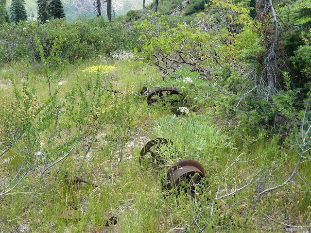
I didn't actually see any sign of the junction and had to stop a few minutes to pick out for sure which way Salmon Summit Trail continued, but once found it was easy enough to follow down the hill and past the Salmon Summit Mine. There were artifacts and a camp near the mine. The map indicates water, probably sourced from the mine, so maybe not the safest to drink. I wasn't going to trade my "tasty" lake water for it, but I didn't see it anyway.

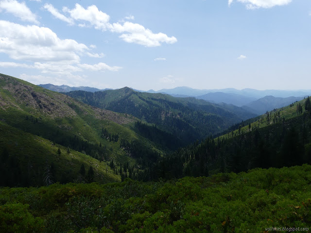
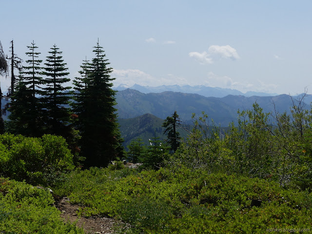
I think I did find the trail that heads off the ridge and to the 4WD roads just north of the wilderness although it was blocked with a bunch of sticks. It didn't look well used. Salmon Summit turns to make a level path around the south side of Youngs Peak instead. I turned and found myself plunging into a lot of brush. Apparently just being able to see the trail easily along the side of the mountain doesn't mean it'll be easy to travel. Most of the brush was below waist height, but it got worse along east facing slopes and sometimes was over my head. This is not brush that just reaches out and touches giving ticks a chance to latch on. This is brush that meets the brush from the other side and would be intertwined except that people and animals keep coming by to press their way through. People have definitely been traveling here.


I found water as I made my way along the trail. Water! It was just a bit of moist moss and a drip, but had I needed it, it would have been a most wonderful find. On the far side, I found things getting thicker and brush overhead. Then I found trail work. Someone had actually cut a space for me in the overhead brush. There was a lot more water coming down and even a camp (full of 5 gallon buckets) just before the trail finished with Youngs Mountain.

There was a nicer looking camp (except that it is further from the water) at the saddle before the trail winds north of another bump. Trail is very nice along this section except for the occasional downed tree.


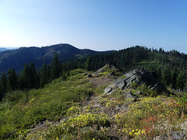
At the next saddle, I searched a bit for the trail up from Eagle Creek and couldn't find it. That put an end to my plan since the "impassible" bit of trail didn't. I just don't quite have the confidence to find a trail by doing 20 miles or so and following it from the other end. I did find the next junction. It even has a sign. Trail work seems to have come in from the side trail off Hotelling Ridge and only went west. I sat down and wondered if maybe I ought to just turn around and grab camp by the stream. After all, I wasn't sure if the stream I was aiming at would have water or a camp site. I decided at least I could go off and tag Mary Blaine where there was once a fire lookout and maybe Dees Peak, a nearby point that happens to be a bit higher. I would continue with the plan for a few more hours.

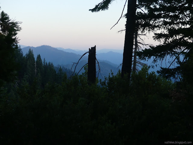
I passed a rock shoulder that looked like it could be a nice camp in a pinch. I got less worried about finding water when I found a little that wasn't even marked on the map. There wasn't any at the seasonal stream that was marked. I found another, lesser shoulder that had been used as a camp under the trees, something I found while spending twenty minutes trying to locate the trail out the other side. There are plenty of places that start to travel through the bushes and then suddenly stop. Only finding the trail allows continuing a while. A fallen tree had helped to make things difficult. As I came around, I started to hear something like a little roar of water cascading a long, steep route. Or maybe it was wind. I got more certain as it stayed and the wind only blew softly sometimes. There was a lot of water coming down. There was even another little stream a little further. There were no camps.

I looked for some flat big enough to sleep on. I settled on something and grabbed some water and then decided against actually using it. I didn't like the camp half a mile back the way I came either, so decided to stagger on and see what came up. First, that was the worst trail I hit the whole trip. The area was moist and the bushes growing high and thick and some were right across the trail. It had been cut into, but stems had come down over that to fill in the space. I had to climb over and under and through with that extra water weight. My reward, a much nicer camp maybe half a mile forward on another shoulder.
Between the lack of any chance of water coming down and the light breezes that wouldn't make things cold and the comet in the sky to try to see and the small moon going to set soon, I decided it was long past time I slept out in the open again. It was a very nice night and I did finally get to see that comet. I didn't manage to get a good picture of it, but I did leave the camera set to its highest ISO setting to sabotage the morning pictures until I noticed something was wrong. Then it was way too late and I fell deeply asleep.
Continue to the next day ⇒
©2020 Valerie Norton
Written 30 Jul 2020
Liked this? Interesting? Click the three bars at the top left for the menu to read more or subscribe!


Comments