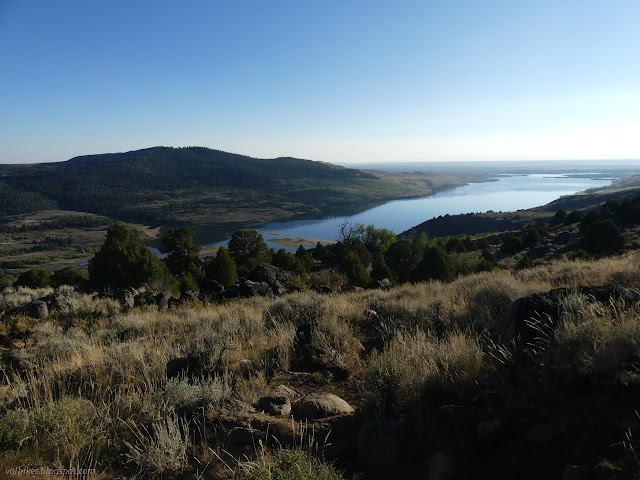
Boulder: Coyote Lake and Blueberry Lake
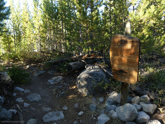
Bridger-Teton National Forest
(red line, map link)
DAY 1 | DAY 2 | DAY 3 | DAY 4
I had had thoughts of taking one more day heading north on Fremont Trail (and the Continental Divide Trail), but it wasn't going to happen after all. I turned to head for the trailhead instead.

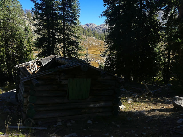
But first, I was going to see what that black block on the map might be. There's a little bit of trail out to it, but I only caught that for the way back. There's a camp area that has been used by equestrians. Further into the trees is the old cabin.
Then I headed out to find the Highline Trail. It was ultimately under some trees making a sharp bend on its way down a hill to get to Lake Vera.
I turned the other way and headed for Macs Lake. It would be shorter to repeat some trail, but it wasn't necessary.
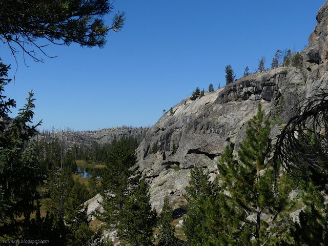

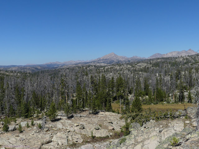
I was wondering when I'd hit burn again. It was staying on the other side of the canyon, mostly, but there was the burn.

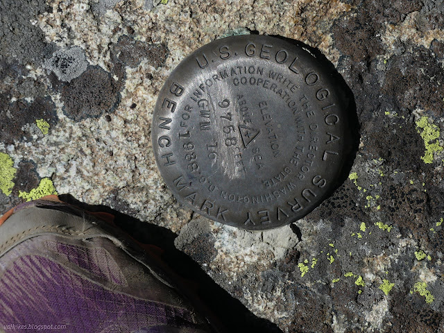
The sign for the junction with Ethel Lake Trail must have been lost in the fire, but the junction is nice and clear. It's another one I was giving a miss. I didn't go down to Macs Lake to find the benchmark near it, either. The important route the benchmarks follow must have gone that way before.


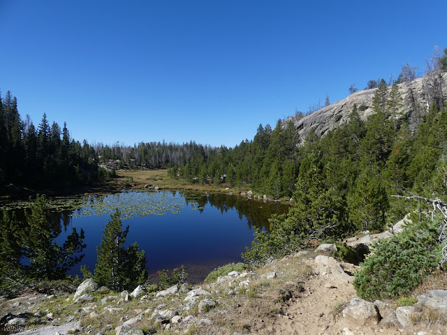
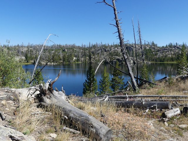
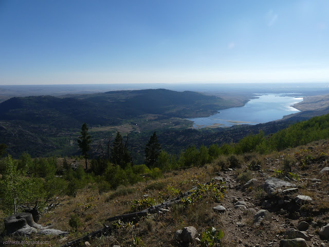
Past Lake George is a short stretch of Lake George Trail, which was missing its sign post fire. Still very obvious and well used. It got missed in the last round of trail work, though. It had 8 trees down on the just under 1 mile length. Crazily, I met equestrians who had just got around the most difficult tree. They had climbed a steep hill and I was stuck following their lead. The far end had a sign that was just a little charred at the bottom. I was at Coyote Lake and the start of the long downhill. Well, it takes a little bit longer to really get going down. Lakes first.


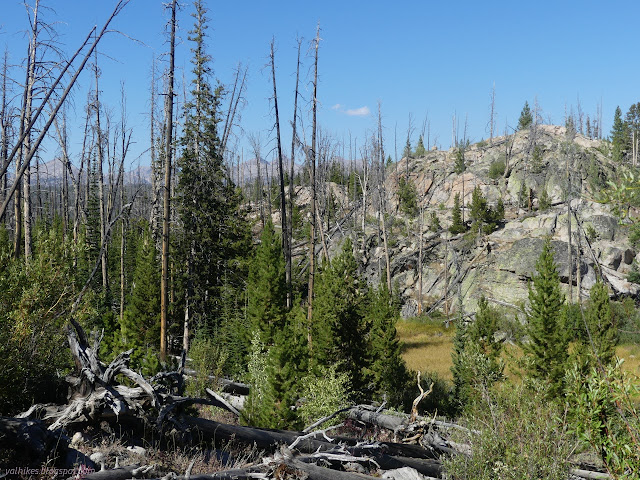
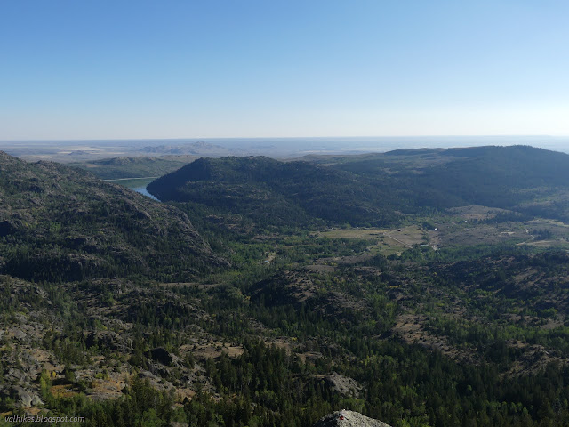
From Lovatt Lake, the trail follows a burned ridge. A lot of the trees have fallen already and recent work had definitely been done on it. There was only one tree down on the whole stretch making it the cleanest trail of the loop. Still, I wouldn't have wanted to climb up it.


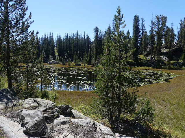
Blueberry Lake is a destination for many people. I stopped for a little while beside the outlet. There were camp sites on the other side, to the west.

I still had 2 miles to go, so I eventually got going. There was less burn damage lower down.

There are trails connecting with the campground at the end of the loop. It seemed crowded for the evening, so I elected to take the longer way around the campground to the signed junction before climbing back up the hill to the corral parking. I'd seen four groups the first day, two the next, and one each the last two days. It's not lonely, but it sure is less crowded leaving from Boulder Lake.
*Bridger 2022 photo album*
©2022 Valerie Norton
Written 23 Nov 2022
Liked this? Interesting? Click the three bars at the top left for the menu to read more or subscribe!


Comments