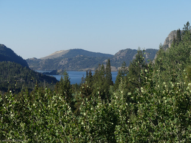
Skyline: Trapper Lake, Heart Lake, and Palmer Lake
Bridger-Teton National Forest
(blue line, map link)
DAY 1 | DAY 2 | DAY 3 | DAY 4 | DAY 5
My getting up and started wasn't quite as early as I might have liked, but the south facing climb wasn't as hot as I worried. There was a warning from a hiker coming the other direction that this trail was getting faint. The faintest it got was at a couple walk-arounds for trees about halfway up. After all the practice following trails past downed trees, noting tread goes there and walk-around goes there and following it was easy. I was still looking for faint trail when I started seeing recently logged out trees at the top. If this is "abandoned", the rest must be magnificent.
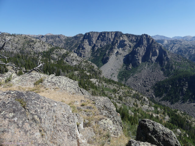
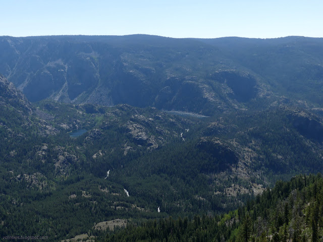
Peakbagger had "Crows Nest Lookout" marked. This named viewpoint is probably copied from the Beartooth map. I decided to stop by it, and that was a good thing. It's the last chance to get in all the views out over the canyon.


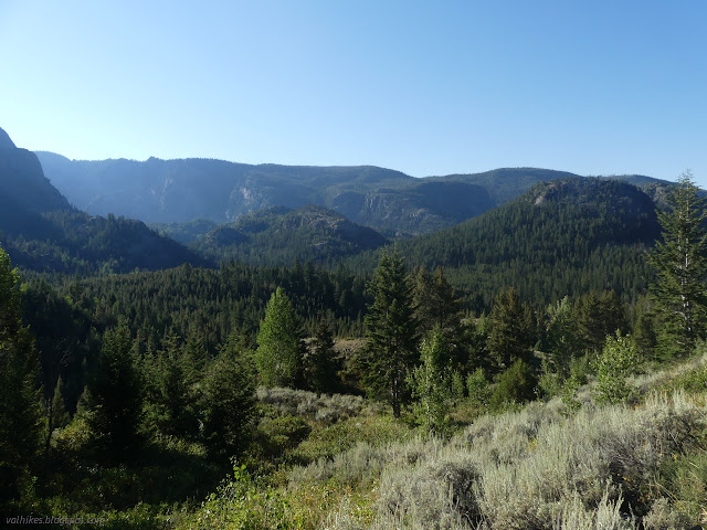
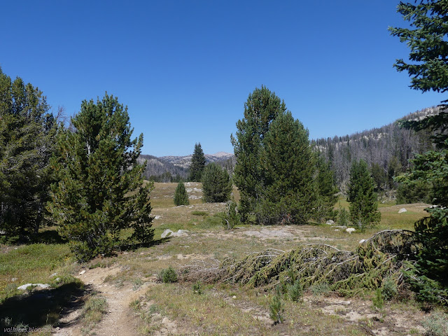
After the grand view, there was a little more climbing among the trees and suddenly the signed junction with Summit Lake Trail. Back on officially maintained trail, everything was beautifully cleared. I set off on the northerly walk, rolling along from lake to lake.


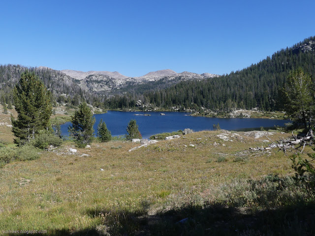
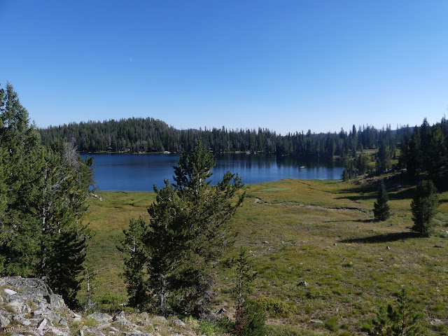
There's a lot of lakes to choose from with lots of trails connecting them. Section Corner Lake was tempting, but I kept on with the plan of passing Heart to Palmer. Official junctions had signs, but there were plenty of good trails without signs. I had to check OpenStreetMap for those unofficial ones. Even it failed at one and I just had to guess.


At Heart Lake Trail, I diverged from the main track. I would be back to Summit Lake Trail eventually, but I didn't need to take the shortest route to make it around. It obviously is a lesser used trail, but it is still clear of trees.

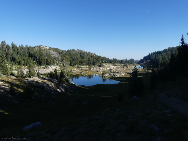
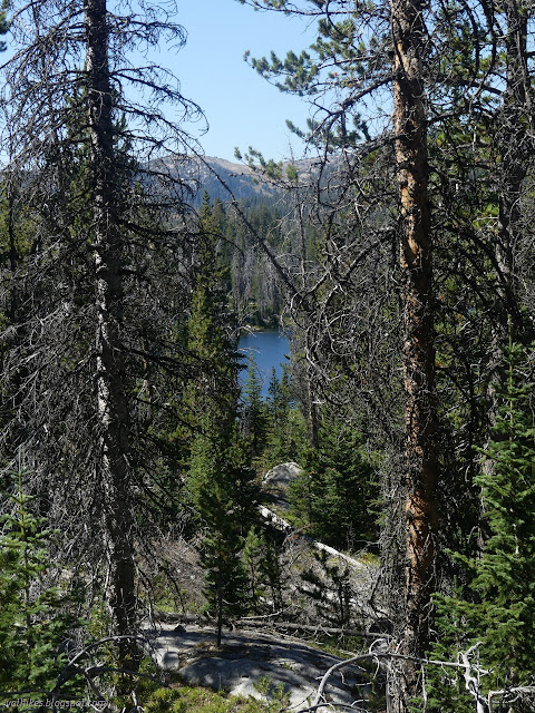
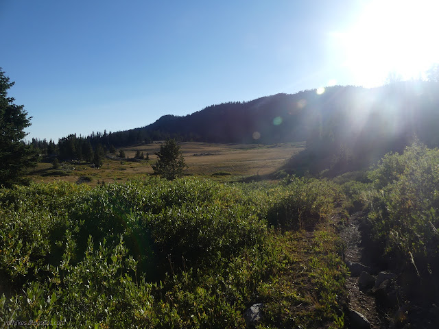
I got into a vast park as I neared Palmer Lake Trail. It's really no wonder that I ended up on a shortcut trail rather than the official one without even noticing. That meant no sign at the junction, and I overshot the trail wondering what that particularly well trod track might be.
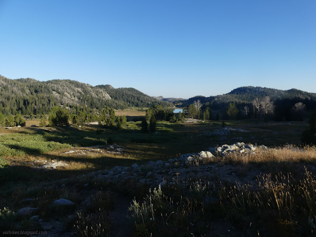

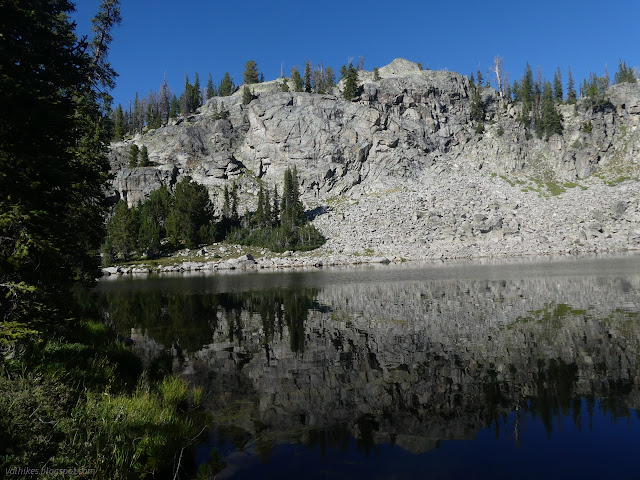
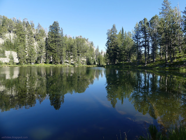
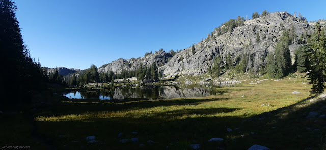
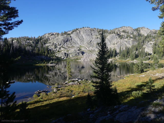
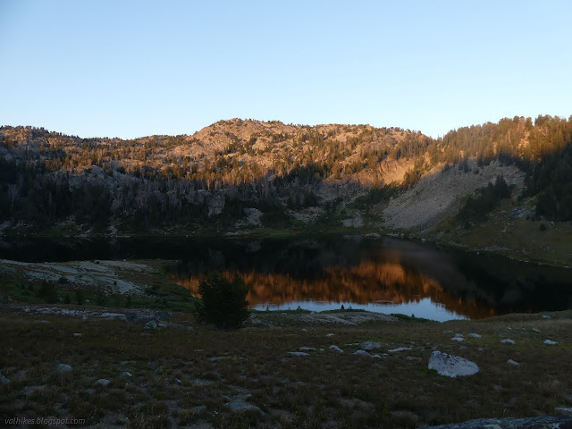
There's no sign for Doubletop Mountain Trail either. There's a cairn and the suggestion of many parallel trails converging near where it should be. It follows Palmer Trail for a short way before diverging again to get down the hill, but people have gone directly and steeply instead. I had picked out a spot high on the west side of the lake to make camp and reality was with me. I found a good spot right where I hoped to.
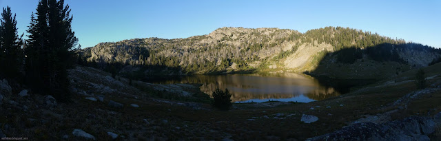
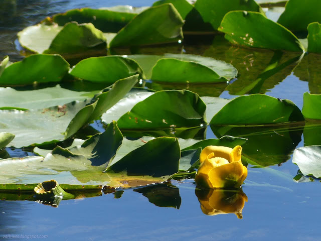
Another tent was near the inlet on the far side of the lake. I stopped by the outlet for water, but ultimately took from the lake itself. It was much better water than I usually associate with still water.
same trip, next day ⇒
*Bridger 2022 photo album*
©2022 Valerie Norton
Written 14 Nov 2022
Liked this? Interesting? Click the three bars at the top left for the menu to read more or subscribe!


Comments