Hayden: Pinto Lake and Duchesne River
Ashley National Forest
Uinta-Wasatch-Cache National Forest
(pink line, map link)
DAY 1 | DAY 2 | DAY 3
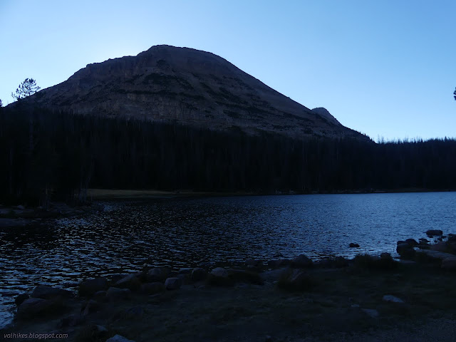
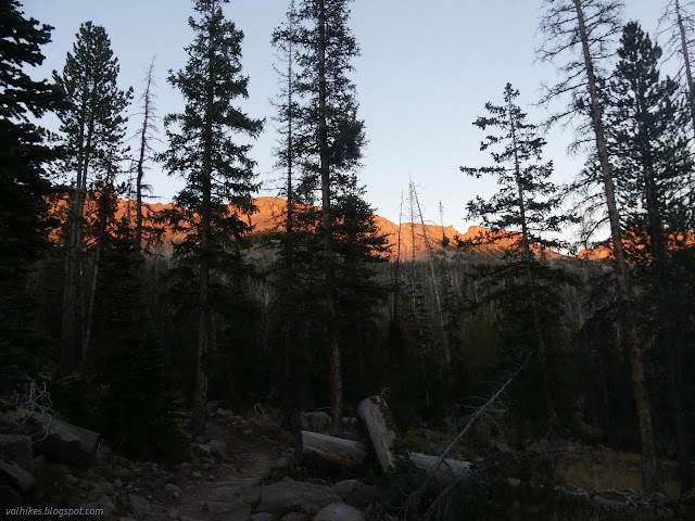
I woke up to another frosty morning, at least outside the area of the trees. I tried to follow trail out from the established camping area north of Pine Island Lake, but it hits a downed tree and runs out. There's no hint at the trail that people walk that way.

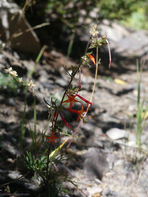
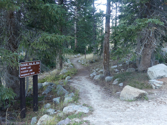
Along with the trail signs at the north end of the Palisade Trail, I found a notice about "boreal toads", which it says have been vanishing. I think it looks like a western toad except that surely those aren't endangered. Well, it is the subspecies found in Utah and Colorado and they are endangered. (All of my observations of them have been in California and presumably the subspecies referred to as California toad. They're not endangered. Yet.) I wondered why the notice was on just this one post before going off to find some more lakes and no toads.


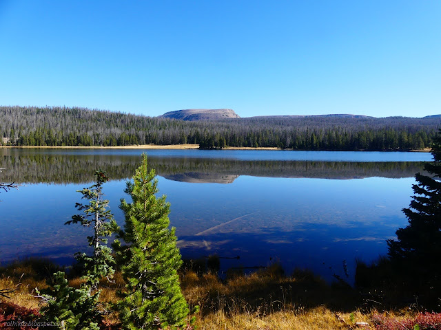


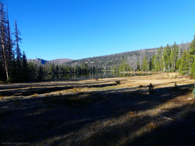
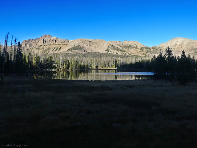
I bumped into some equestrians around Pinto Lake. They came down from the Uinta Highline Trail. It's a bit less full of downed trees than the other option, as it turns out. I headed down the cutoff which I was already suspicious would be given even less attention because, well, it's a shortcut. There were 10 down on the mile to the river, but they didn't get less frequent on East Fork Duchesne River Trail.

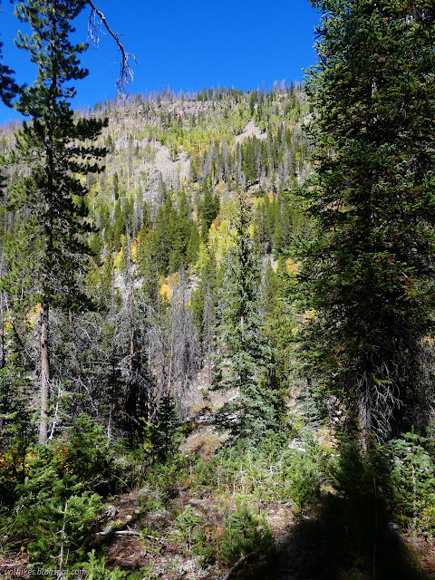
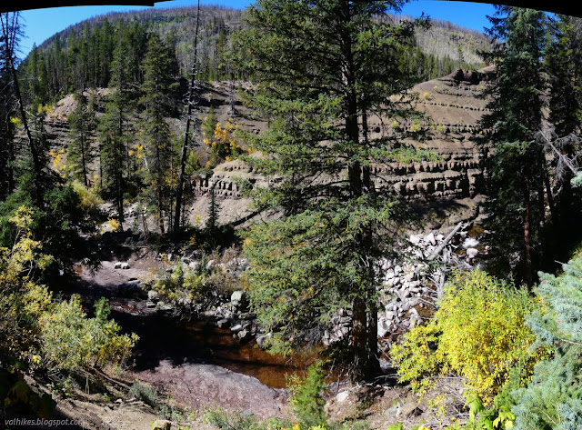
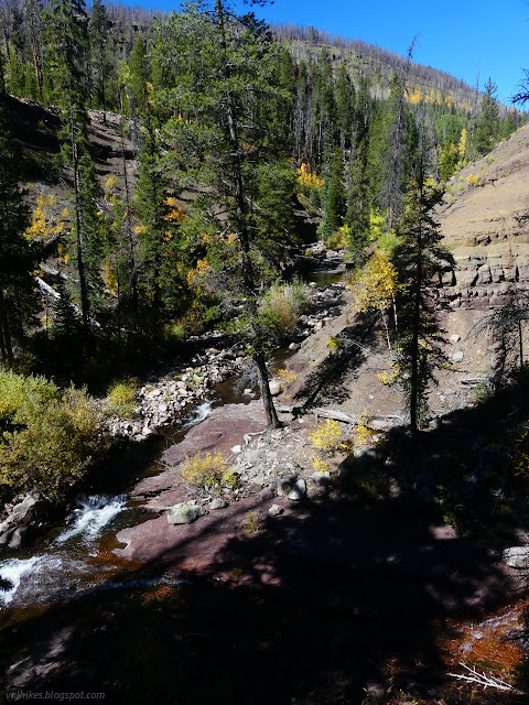
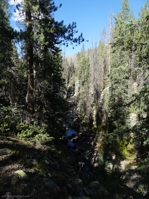
Once walking the side of the river, I was low enough to get into aspens changing color. I was also running a little into the footprint of the 2018 Murdock Fire once more.

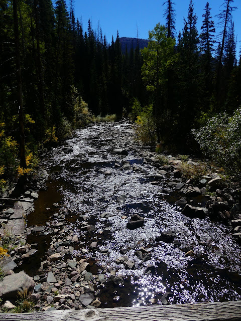
The canyon gets deeper and I was wondering about the crossing. With so much burn, maybe there's no bridge? Maybe I only see one set of prints because it's hard to get through? Then I started to see some recent trail work. They hadn't finished, but they'd got a bit over a mile cleared.
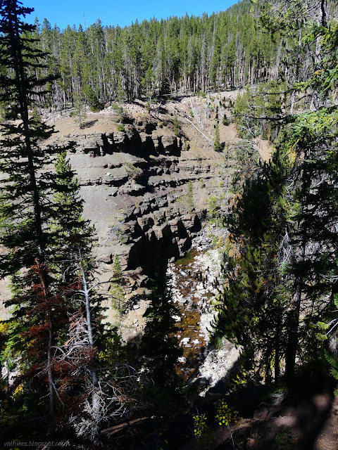

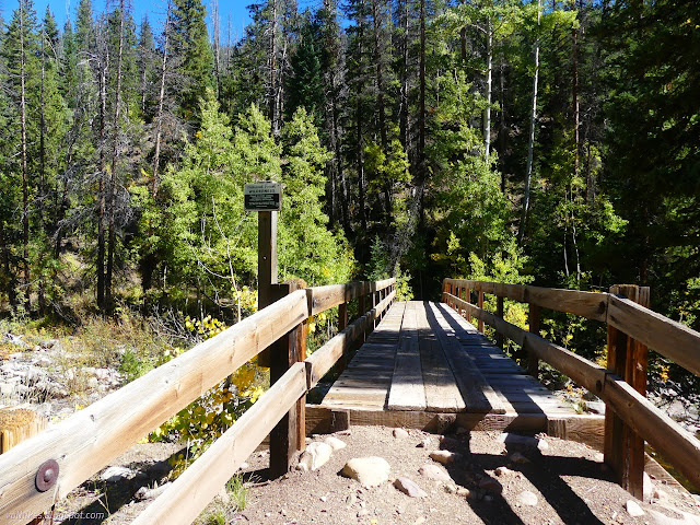
The bridge looked good and a bit fresh. So I crossed and left the wilderness.

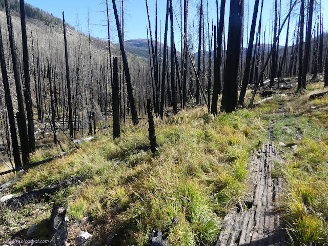
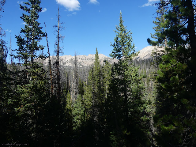
Once across the bridge, I had the chance of running into bicycles. Apparently it's a popular downhill run on the Duchesne River Trail and it was clear enough for them. I didn't meet any, just a couple hunters toward the end. I was also much more determinedly in the fire footprint. There was badly burned, completely annihilated, and just a bit singed on the edges spots on the way climbing to Mirror Lake.


I passed little pieces of history. An insulator suggested there was once a telephone line run along the canyon. A historic sign mentioned that one "William Ashley, a very early fur trader, came up" the river to the Bear River somewhere around here. The route really isn't certain. I suppose that's who the forest I started the day in is named for. You can get some good stuff named for you for being a white person blundering about the west in the right time. (The forest history talks about him as General W. H. Ashley, who organized a fur company. Bridger National Forest is named for the same trapper and trader as Bridger Peak.)

There's a little trail parking at Mirror Lake. You can continue on trail back to Hayden Pass, but I wanted to see the lake. I walked up the paved road to find it, then out onto the shore trail that is part of the picnic area. The lake was already well in shadow, but there were a few dozen people bundled up and enjoying every curve of the darkened lake. I even passed a birthday party.
Then I climbed up a use trail between two sites to round the circle to another trailhead. The camp is closed for the season, so the area was much less crowded. It's just a couple miles more of climbing to get to the top.

It was getting a touch dark as I finished and I still had to go find a place to sleep. There's no camping within a quarter mile of the trailhead at Hayden Pass. It was a long day, but I think my lake tour worked out pretty well.
*Wasatch 2022 photo album*
©2022 Valerie Norton
Written 30 Nov 2022
Liked this? Interesting? Click the three bars at the top left for the menu to read more or subscribe!


Comments