Kings: Smiths Fork Pass and Yellowstone
Uinta-Wasatch-Cache National Forest
Ashley National Forest
(orange line, map link)
DAY 1 | DAY 2 | DAY 3 | DAY 4
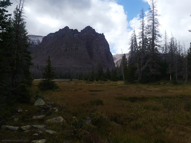
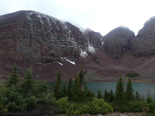
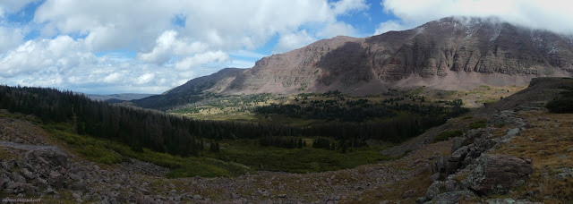
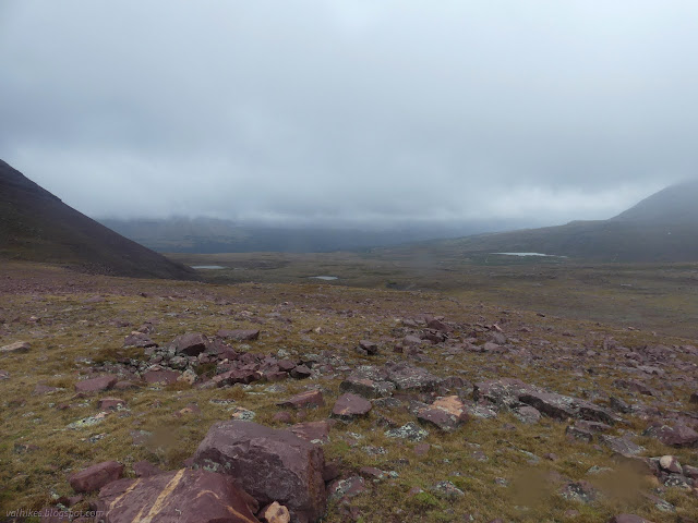
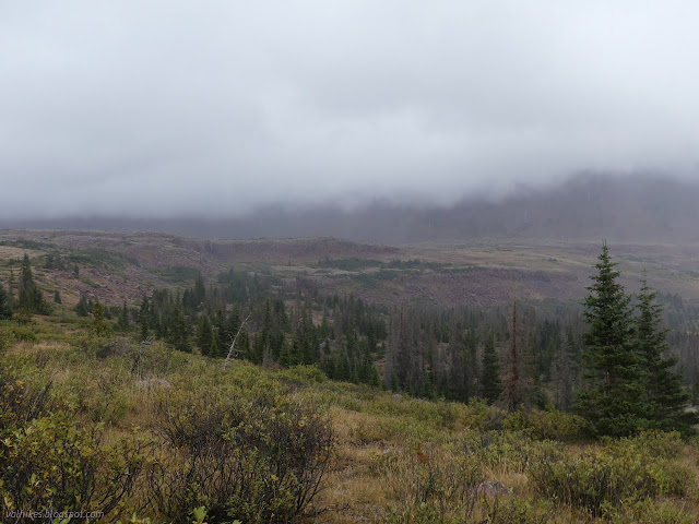
My start was slow because it was a short day anyway. Foolish human. It was a short day because the second half of it was expected to be stormy. Don't waste the bright, sunny bits! And it was bright and sunny, at least to the north. There were two trails across Lower Red Castle Lake. I took the upper one the day before. I decided to backtrack slightly so I could take the lower one back. My deep suspicion that it would be muddier was confirmed. Some of it even has creeks flowing down it. I saw a lot more people. Apparently everyone I'd seen coming up the trail were camped down along this lower route. They were the last people I saw.

This lower trail catches the trail over the pass a little south of the signed junction, right next to the bridge. There's probably a shorter way to get between the trail to Red Castle Lake and this trail heading for Smiths Fork Pass, but it doesn't have a bridge. The bridge lost its railing in some turbulent weather event, but still stands strong.


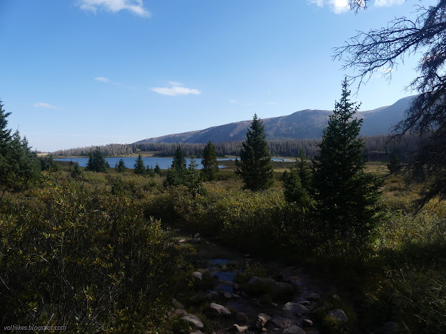
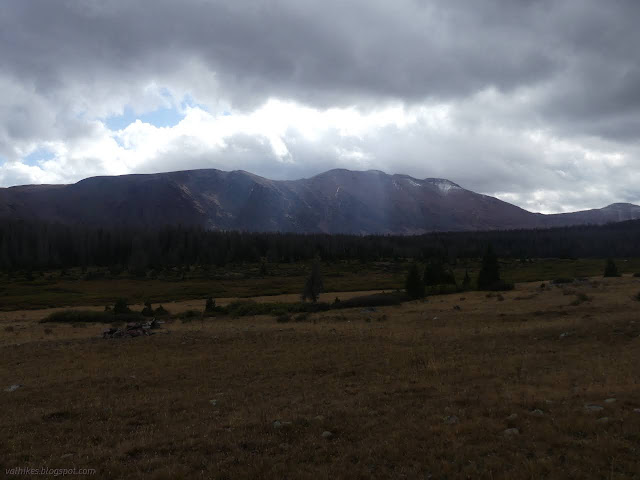
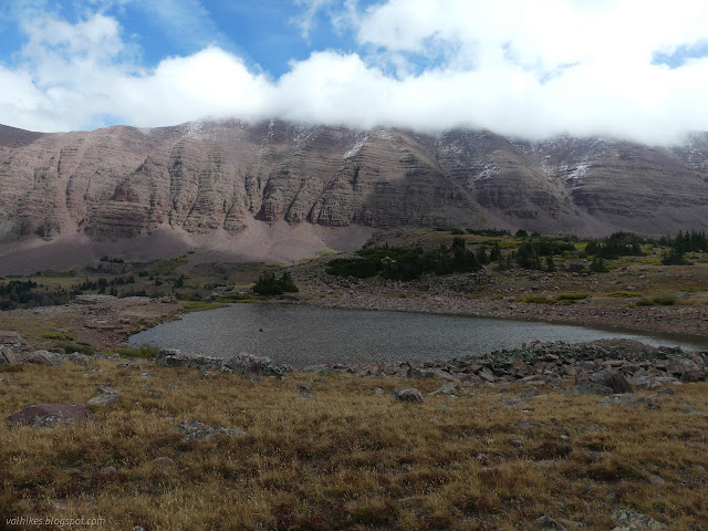
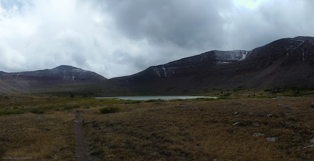
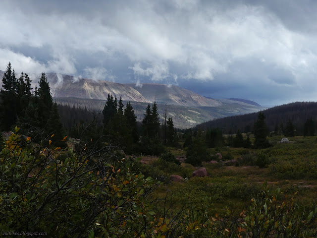
It never warmed up much and I pulled on my puffy pants even though on a climb. I was determined to see the lakes along the way. I'd not seen much of Lower Red Castle Lake from this trail and what I did see may actually have been a smaller lake nearer the trail. That's a pretty big lake. I turned off trail to see East Red Castle Lake, finding a small use trail with a couple orange flags at the start to follow. The first wave of snow came before I got there. Should I just power through it or wait it out for better views? I settled in behind a pine with the next story in a science fiction anthology I found on my phone and waited it out.
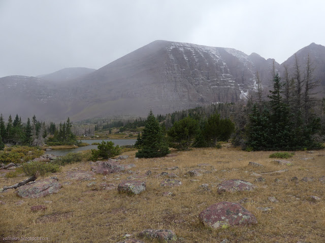
It cleared nicely and after not too long. Winning!

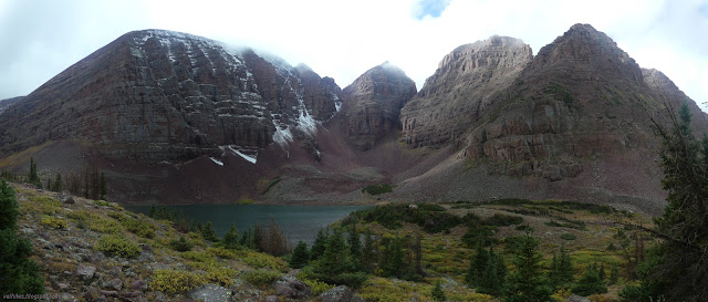
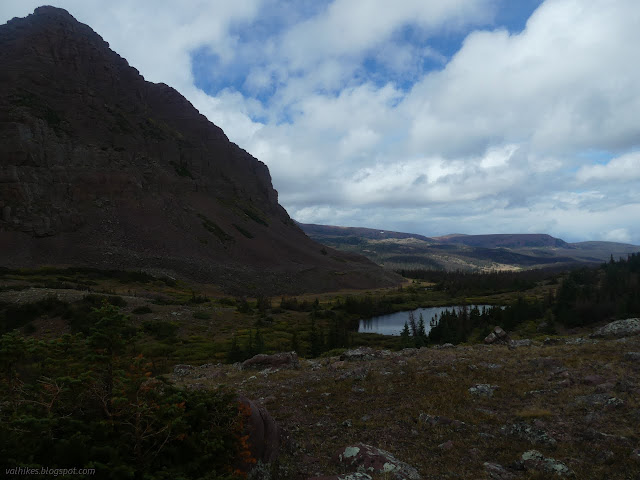
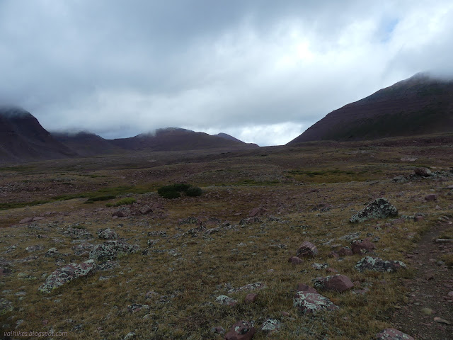
So I headed up toward the pass once again in sunlight.
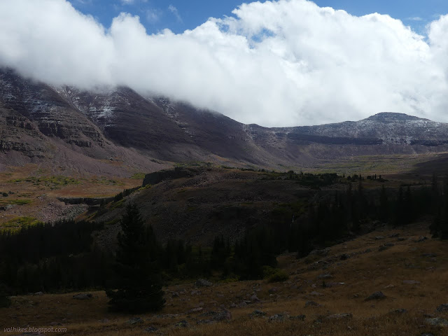

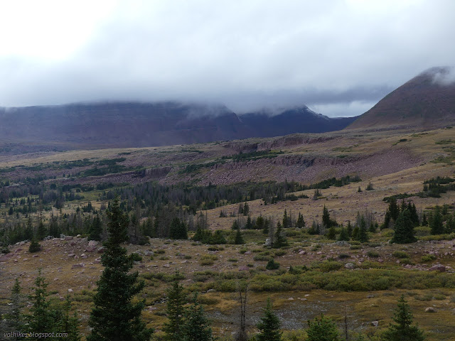
The second wave of snow came as I was approaching the very last trees before the pass. I tucked in behind them and waited this out, too. More sun as reward, but when I took off, I was pretty sure I was perfectly timed to have the next wave as I hit the top.


I probably got into some shortcutting trail. I kept meeting better trail that I hadn't seen split off as I climbed, and it was absurdly steep in places. As for the snow, the third wave came as expected.
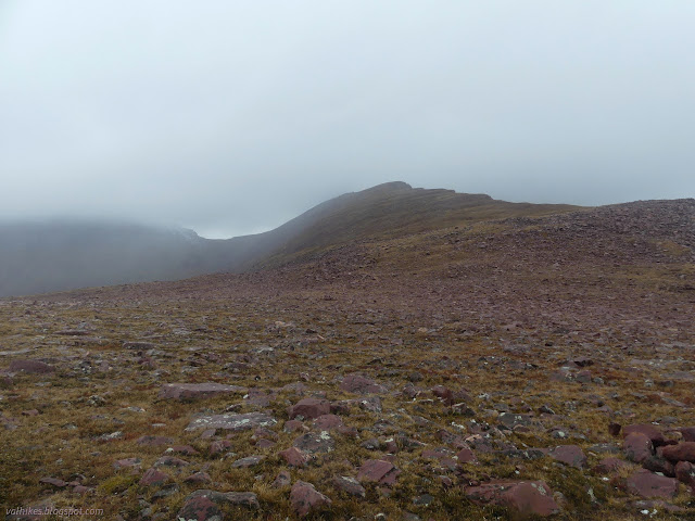
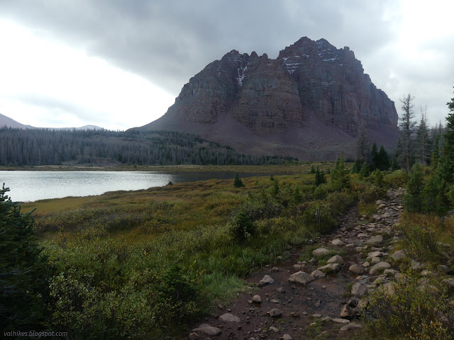
There was no tree to hide behind to wait this one out, but it was much longer lasting anyway. I left Red Castle for Yellowstone in a low cloud. I think I got on a shortcut for the way down, too, because I eventually ran into some much better trail. It was cairns at the top.
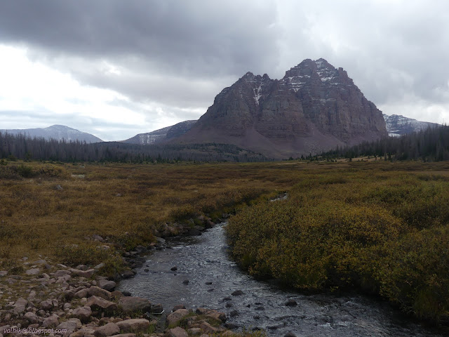
I found a rock to duck behind, eat some lunch, warm up a little. The wind was leaving it seriously cold. It had improved a little while I waited. I got what might have been my first look at Kings Peak.
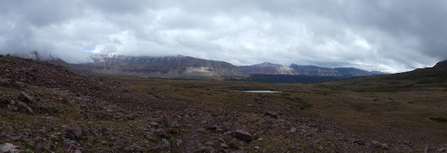
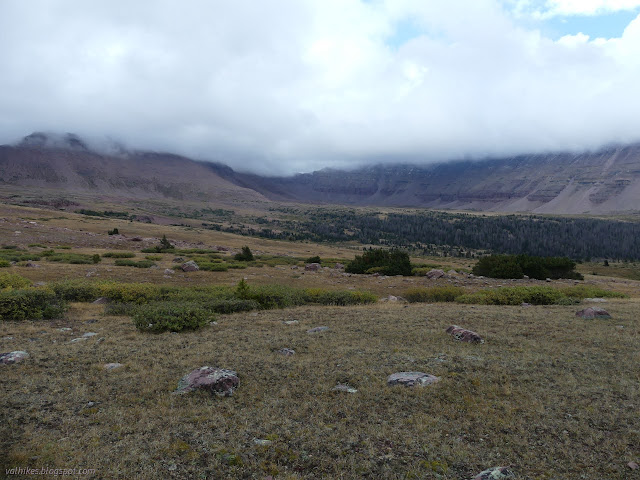

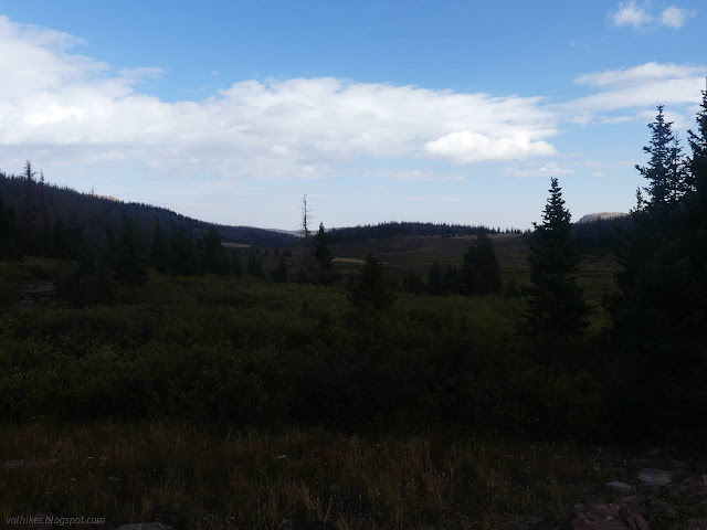
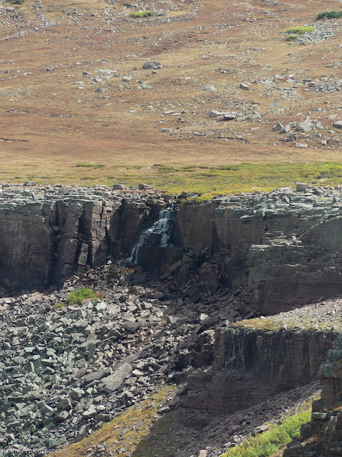
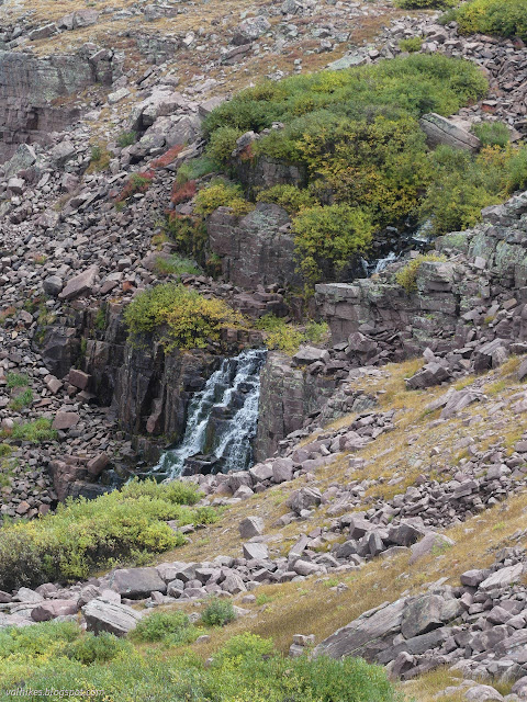
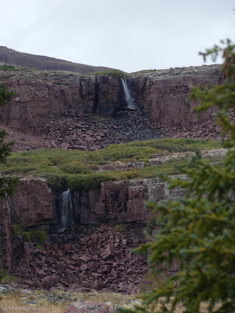
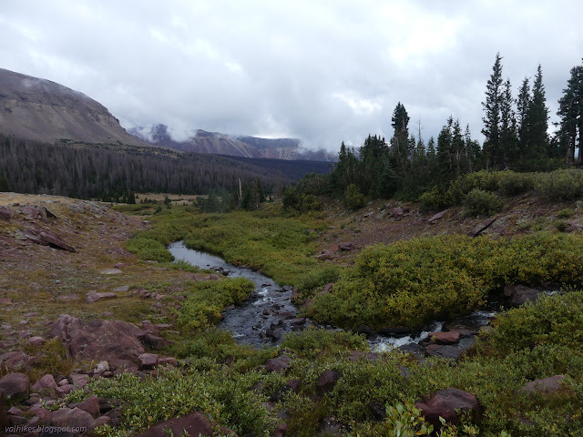
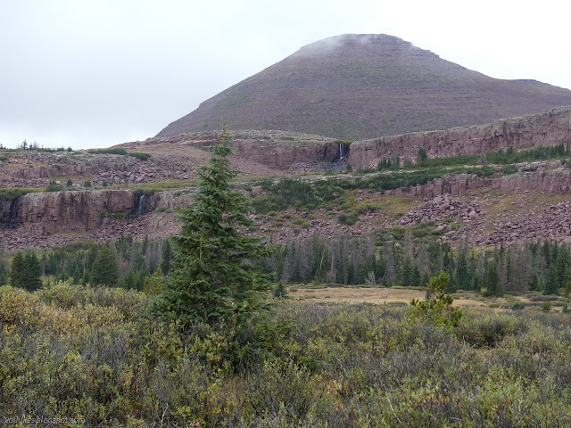
I came to the junction with the Uinta Highline Trail, marked with a multitude of posts and a few signs. The other direction had a big cairn. This would be a worthy trail to through hike. I turned east in this valley that is described as the least interesting way to Kings Peak on Summitpost. It's got better waterfalls than Red Castle, which isn't a bad thing.

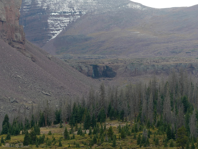
I was looking to be as close to the peak as I could get for the morning bagging, so crossed the valley and headed for the last ledge with trees. I wanted them to reduce my exposure to both wind and possible storm activity.

I got to the ledge and wandered a bit before deciding that one flat spot might do. I stuck up the tent and it just fit, then chucked in most my stuff and headed down to where I'd last seen water to gather the stuff. I got it set to filtering just in time to jump into the tent and wait out a round of rain. The waiting left just enough light to cook and eat and tuck in before another bit of rain.
I listened to the rain. A single piece of lightning brightened the sky and roared, but there wasn't much storm. It did get colder and the sound of the rain changed.
same trip, next day ⇒
*Wasatch 2022 photo album*
©2022 Valerie Norton
Written 25 Nov 2022
Liked this? Interesting? Click the three bars at the top left for the menu to read more or subscribe!


Comments