Hayden: Rainbow Lake, Grandaddy Lake, and Pine Island Lake
Ashley National Forest
(blue-green line, map link)
DAY 1 | DAY 2 | DAY 3
It was icy when I woke, but things thawed quickly as the sun hit them.


Packed up, I headed back to follow the Four Lakes Basin Loop Trail to join up with the Hades-Rocky Sea Pass Trail again. Since I was heading away from Rocky Sea Pass, I must be heading toward Hades. I was actually headed for a lot of lakes, some of them quite grand. I followed the arrows for Rainbow Lake at first.

The trail is a bit less well maintained than the Highline, but that only translates into a couple trees down on it. Stock are still traveling it.


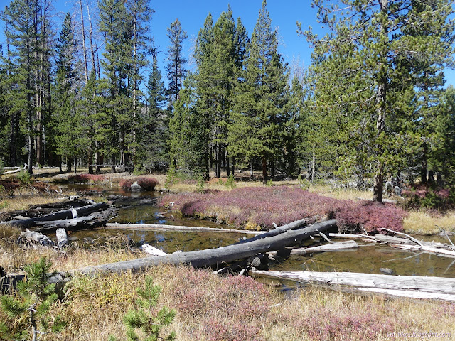
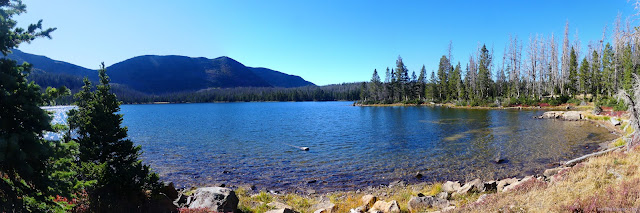
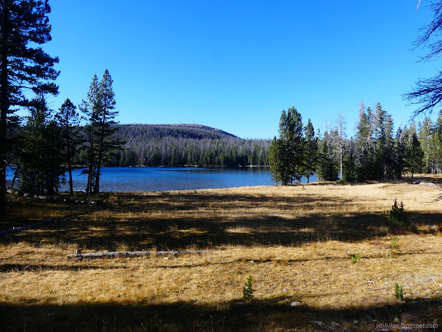
Once I got to Rainbow Lake, I started following the signs for Grandaddy Lake.
The trail to Rock Creek looked particularly unused as I passed, but it is signed so easy to find. I was skirting a much larger fire footprint, 2020's East Fork Fire, though I wasn't noticing it.
I found a couple trails heading off to Shadow Lake, one looking like it might have once been official.

After passing the junction with the Palisade Trail, the path became much wider and well trod. What had been two distinct footprints being all I'd seen on the trail became at least a dozen very fresh ones all pounding their way to Betsy Lake.

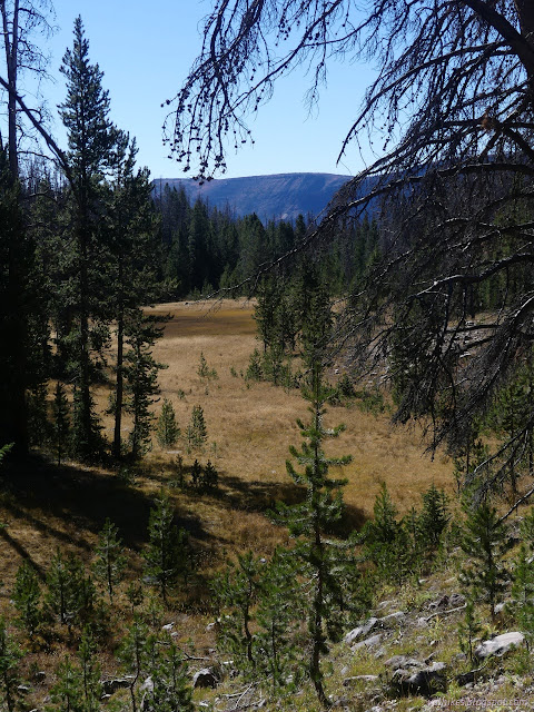
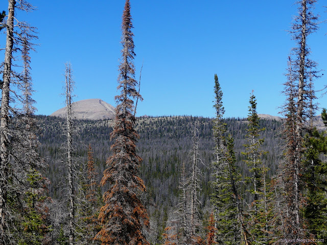
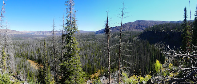
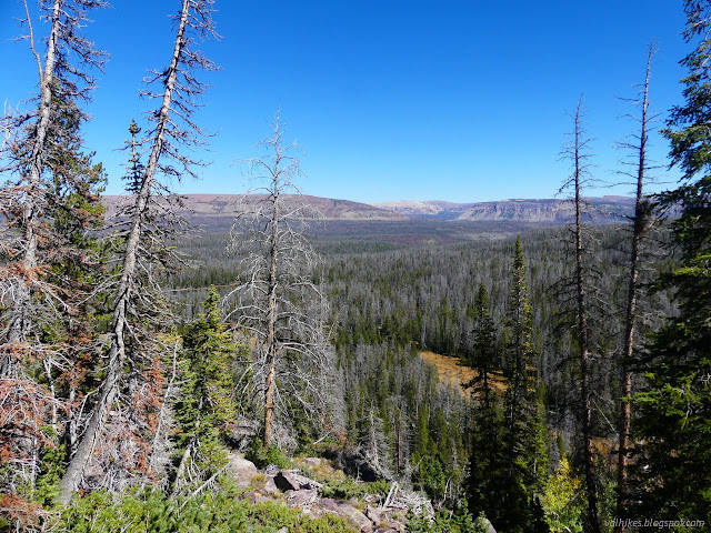
I'd been generally losing elevation the whole morning. Now I was climbing and the hints of a view were all over. I spotted an orange ribbon and followed a faint trail off to an edge to see that view.
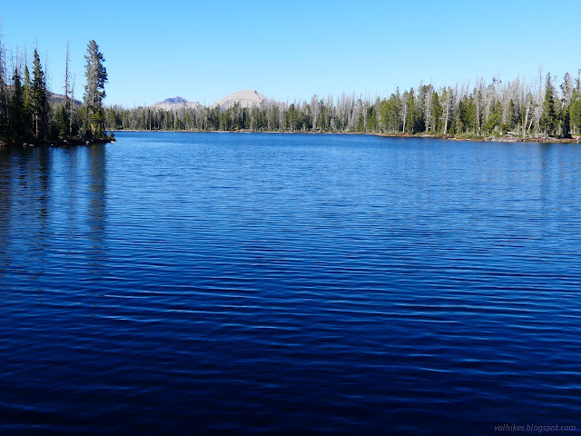
Then I headed over the top to Betsy Lake, where I would find the greatest number of lakes for the day. I also found a great number of people. Most of them likely came over Hades Pass from the Grandview Trailhead just a few miles to the south. There were dogs and kids just old enough to walk those miles and groups of at least a dozen sorting out their spaces for tents a bit closer to the water than 200 feet. It would be shocking had it not been for all the footprints on the trail leading up to it. Actually that was clearly a single group even if big, so all the separate groups were still shocking.


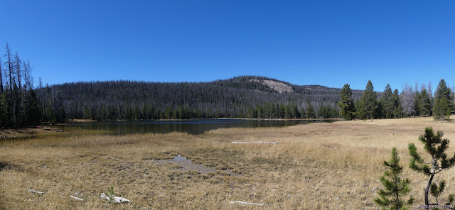
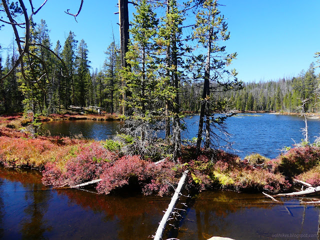
I headed down to Grandaddy Lake past the junction with the Lamarla Lake Trail. It was tempting to head down that way as far as Lodgepole Lake to investigate a mystery building marked on the map, but I didn't think I had time for that and getting where I wanted to get in the evening. I continued a short way toward Hades Pass for the closest look at Grandaddy instead.
Then I headed back up to the three way junction between Grandaddy and Betsy and turned the fourth way for a use trail. OpenStreetMap claimed I could follow a trail along the west side of Betsy and then over to Mohawk Lake. I passed more well used sites and more campers on the way. One group seemed to be throwing axes at a tree. It was loud and certainly isn't leave no trace but was probably a dead tree and at least they weren't camped too close to the water?
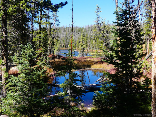
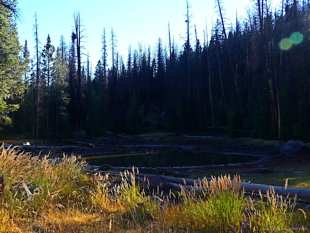
The trail came and went. I didn't find it at first leaving Betsy, but then found a couple different routes. I left all the people behind as I went although there were certainly a few well used sites at Mohawk Lake.

I found the Mohawk Trail and took it back to Betsy Lake past a little pond. It also had a camp site that was well used but not occupied. The most massive horse camp I've ever seen was on the far side from Betsy Lake. There were canvas cabins where whole trees were lifted as a ridge pole and teepees and a few less grandiose cabin tents. It also seemed to be unoccupied on this busy day.

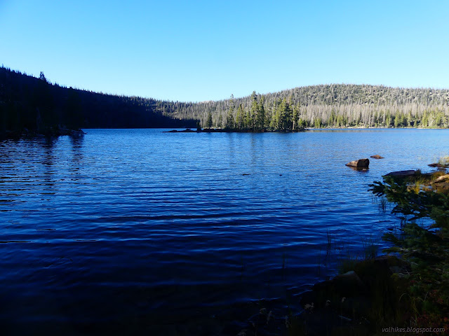
I turned and followed the Pine Island Loop Trail heading for its namesake. I left that massive crowd behind and got back to seeing absolutely no one.

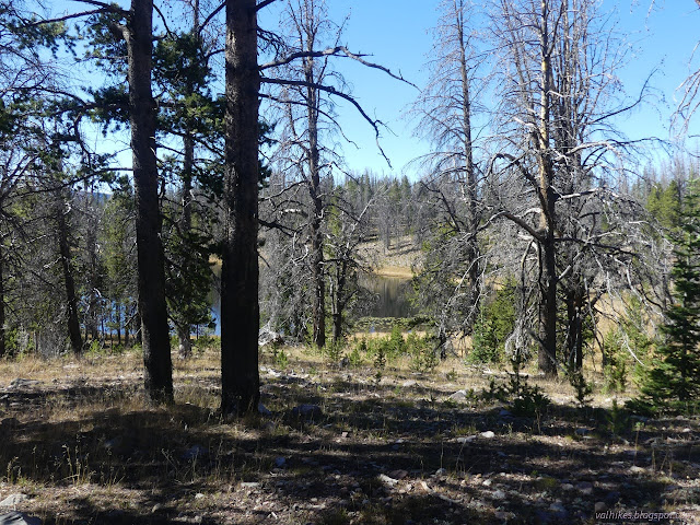
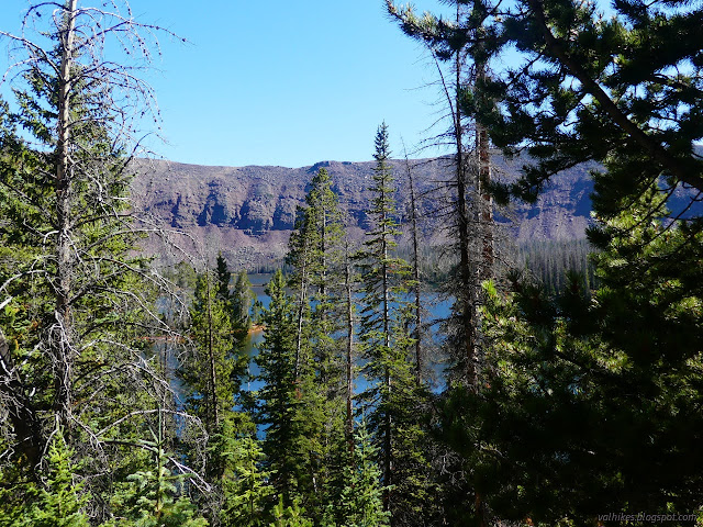
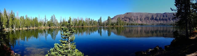
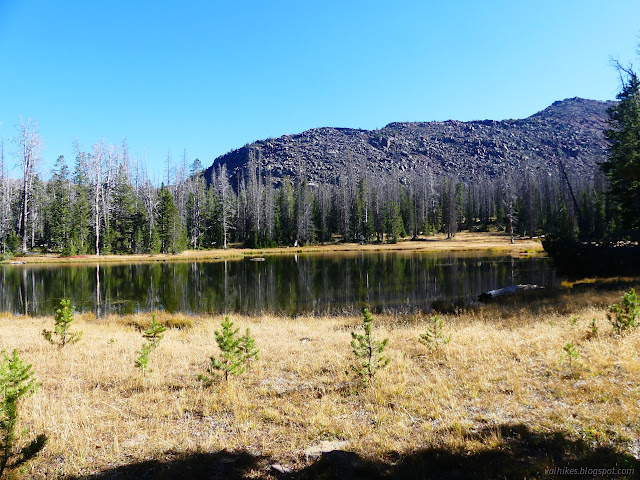
I reached Island Lake and visited the large site at the south end of the lake. It's not bad, but I was hoping for something better just a little further up the trail. My final day was already going to be long.


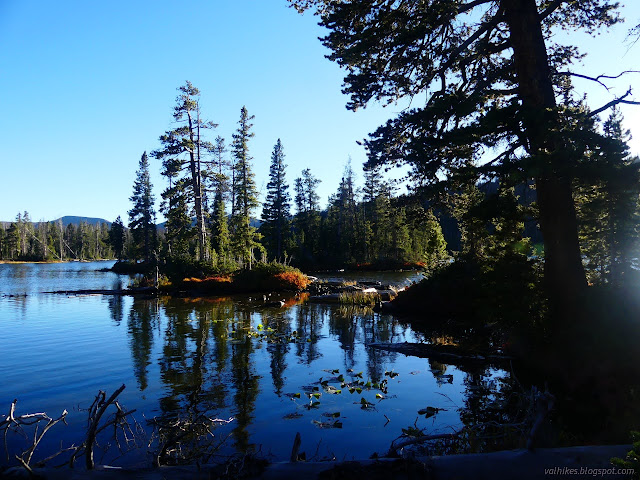
OpenStreetMap displays trail on both sides of Pine Island Lake. The one on the south side was easy to find and I made no consultation of the map for it. The one on the north side wasn't there. It just wasn't. It couldn't even be where it was marked. I battled my way over a bunch of fallen trees and found trail further along beside the lake, but not really a camp. I kept pushing along a fairly clear trail to an island with almost a bridge to it.

The trail was fading except for a little that climbed. Finally a camping area? Nope. But it did look like there was a very old road up there. I followed it back a while and still found nothing I wanted to make a camp. Travel on it was getting harder, so I struggled my way back down to the trail beside the lake again.

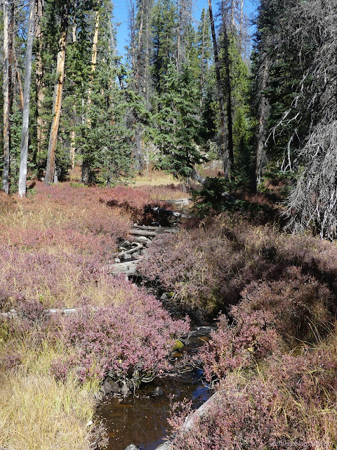
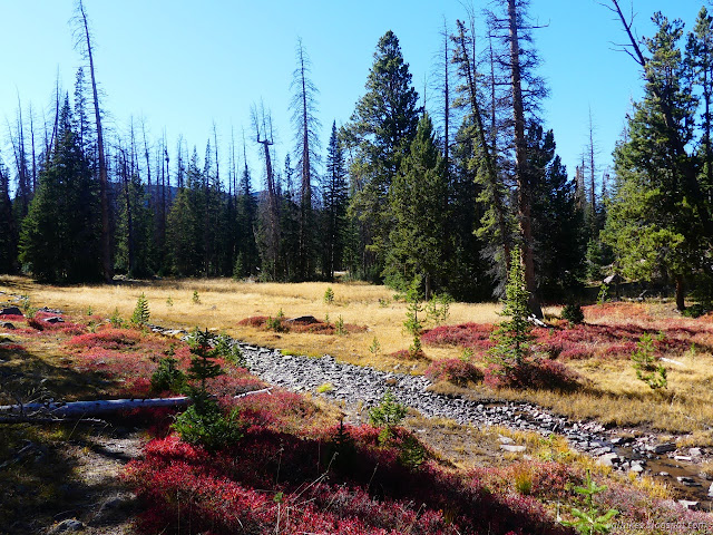
I continued back to where a small steam cuts, and I do mean cuts, through a meadow. There had been some camp areas on the east side of it. I found more on the west side that was a reasonable distance from the water. So that would have to work for my camp. I spent a while deciding what was least likely to have trees fall on it. There's a lot of standing dead trees to choose among. It wasn't windy, at least.
same trip, next day ⇒
*Wasatch 2022 photo album*
©2022 Valerie Norton
Written 30 Nov 2022
Liked this? Interesting? Click the three bars at the top left for the menu to read more or subscribe!


Comments