Bald Mountain
Uinta-Wasatch-Cache National Forest
(map link)
Parking at the trailhead for Bald Mountain requires a permit for the Mirror Lake Highway Recreation Corridor. There's a pair of trails that leave from it, but I was planning on the one that most the other cars were also there for.


I headed up. There were people ahead, people behind, people passing frequently on their way down. I didn't want to take too long because the weather wasn't all that cooperative at the end of yesterday. So far it didn't seem to be making any threats.


The trail stops clinging to the side of the mountain and has an easier stretch.

I stopped at the end of a short spur for a snack with a view. Down below was the curving road and a knob on one bit that is the Hayden Peak Overlook. Way down there. I guess I was at the Hayden Peak Overlook overlook.

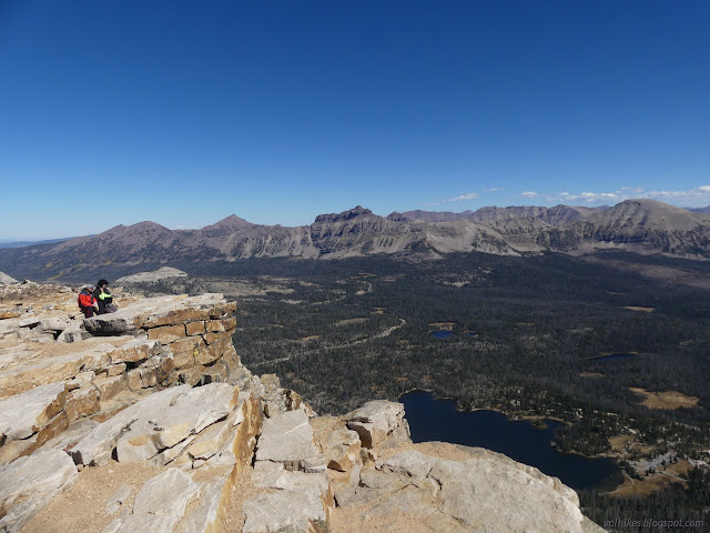
The trail got steeper again as I headed up for even more expansive views. It flattens at the top. The peak is very wide indeed.


My map claims there's some sort of boundary marker at the top of Bald Mountain. It was one of the reasons I wanted to come up it. Unfortunately, there seemed to be no markers at all. It could have fallen off the side, as close to the edge as it is shown. It could have just been stacked rocks, maybe even in fancy shapes, that wouldn't have lasted the current popularity of the peak. There was a steady stream of folks coming and going.


With it looking like there wouldn't be weather for the afternoon, I headed back down. I wanted to get one more hike in for the day, but also record a couple more of the flowers I'd seen on the way up. The season isn't quite over yet.


*Wasatch 2022 photo album*
©2022 Valerie Norton
Written 3 Dec 2022
Liked this? Interesting? Click the three bars at the top left for the menu to read more or subscribe!


Comments