Skyline: Doubletop Mountain, Cutthroat Lakes, No Name Lakes, Summit Lake, and Elbow Lake
Bridger-Teton National Forest
(green line, map link)
DAY 1 | DAY 2 | DAY 3 | DAY 4 | DAY 5
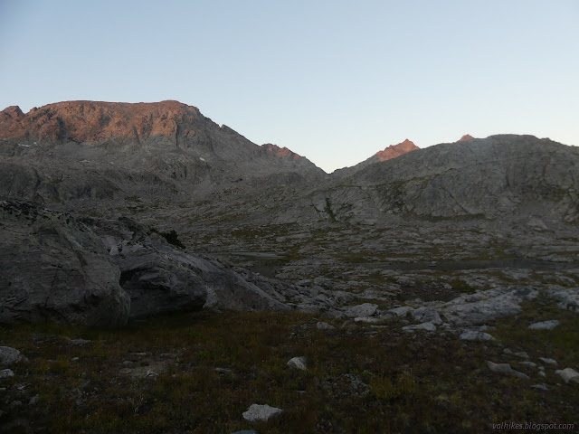
I must have found quite the cold pocket because the thermometer claimed it got down to 24°F. It's suspicious because all the other nights were around 40°F, but I did have frost on my feet again. Certainly below freezing! I was well positioned for sunshine, so it warmed up quickly once that nuclear reactor was visible. There was enough time to tag the top of Doubletop Mountain, so I only partly packed up before heading out. The trail may not be particularly visible at the junction, but once a little way along, there's plenty of trail. I soon turned off it heading for the lower of Doubletop's double peaks.

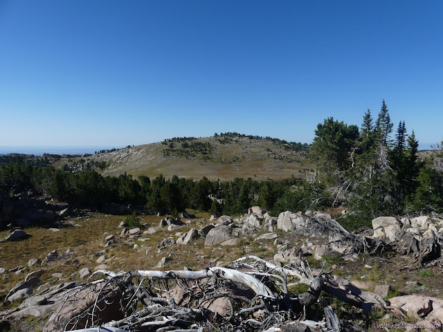
Then I turned and headed for the taller peak. There had been a false peak to catch me on the way up the lower one. The higher one is even more straightforward.

Then I headed down to catch the trail and take it back to camp to collect the rest of my stuff.

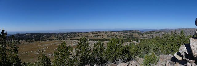
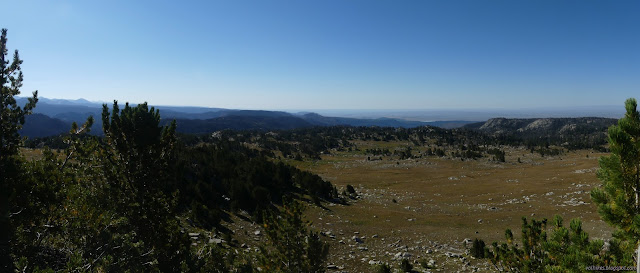
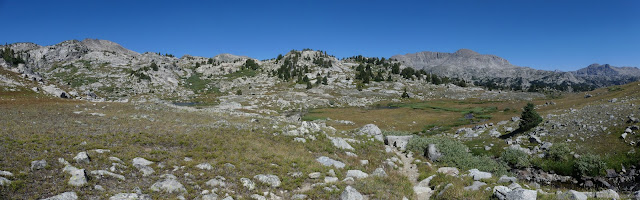
Then, with a much heavier pack, I started rolling along east past lake after lake. There's never much of a climb or drop. It's 200 feet up, then 200 feet down, over and over again.
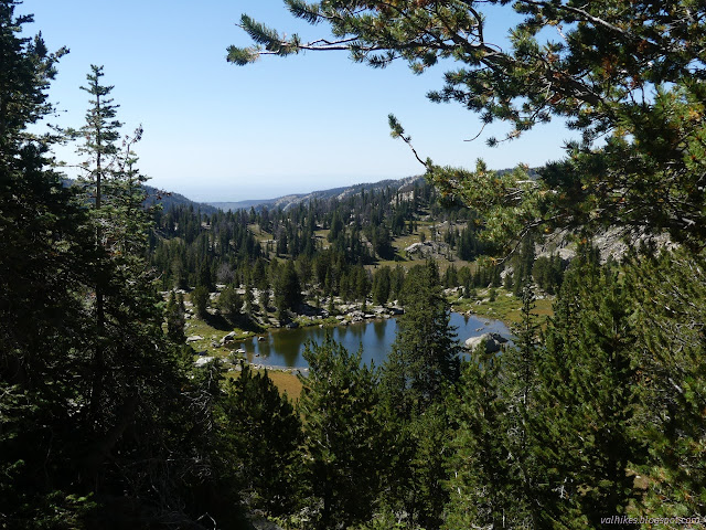


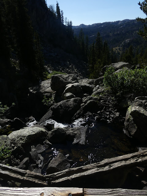
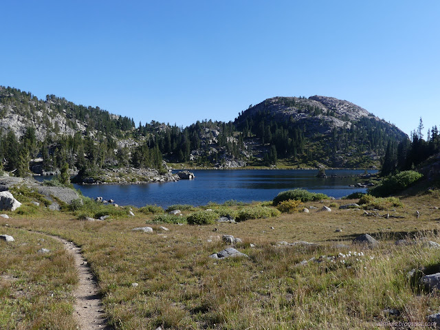
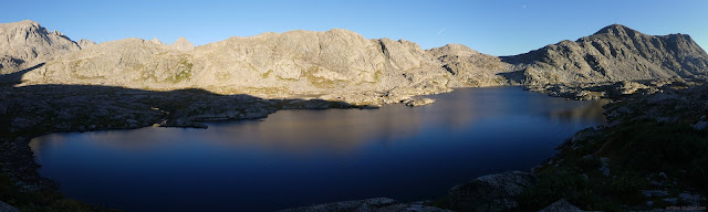
I stopped by the flowing inlet to Cutthroat Lakes for some water, which wasn't nearly so nice as the water from Palmer Lake. I'm used to it being the other way around. Then it was up and over another hill to the No Name Lakes. They're big and the trail sticks near the bit of water running along them for a while.
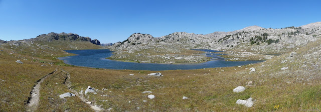

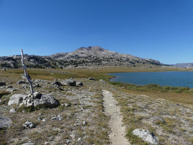
Once the trail gets tired of the No Name Lakes, it's back to a little up and down, mostly down, to finish off at Summit Lake.

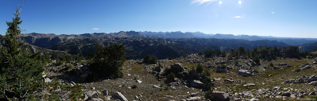
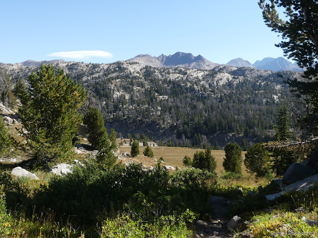
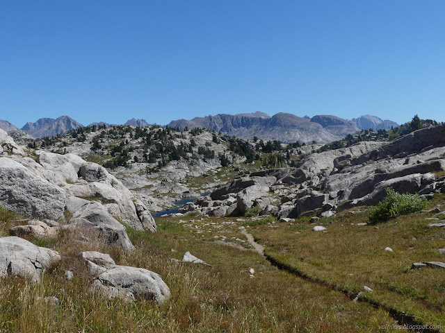
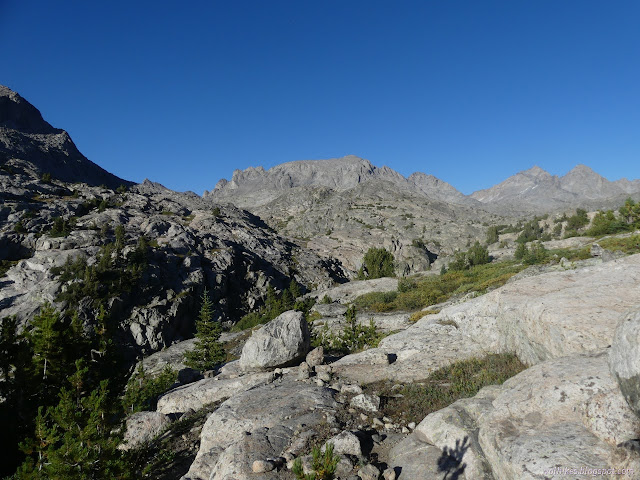
Doubletop Mountain Trail runs into the Highline Trail right next to where Pine Creek Canyon does the same. It's a trail now getting better known as the Continental Divide Trail. That thing seems to keep turning up. The Great Divide itself runs along the high peaks to the east. I turned "south" along the trail, which largely meant southeast followed by northeast.
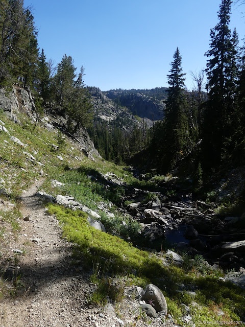
The trail changed character for a little way as it edged around the top of Pine Creek Canyon and made its first crossing of Elbow Creek.


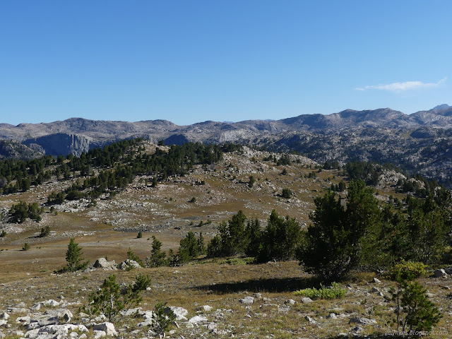
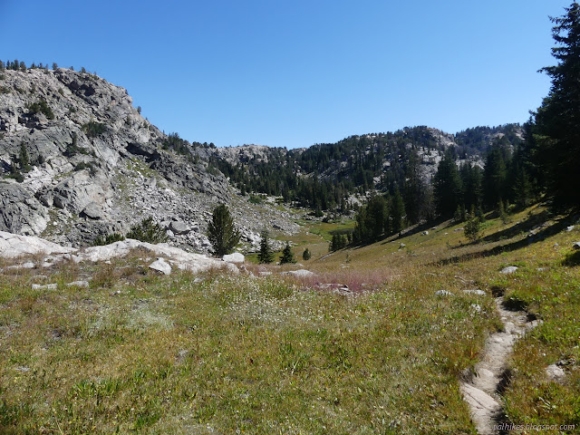
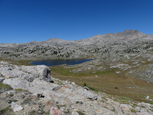
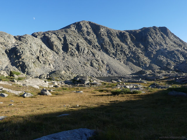
Then it's back to rolling along from lake to lake, this time with a tendency to climbing overall. I was aiming at the third crossing of Elbow Creek for my camp for the night.


I passed a marmot sunning on a rock with its fur getting flipped up by the wind. I'd been missing their gentle threat to eat my gear, but they do live here.


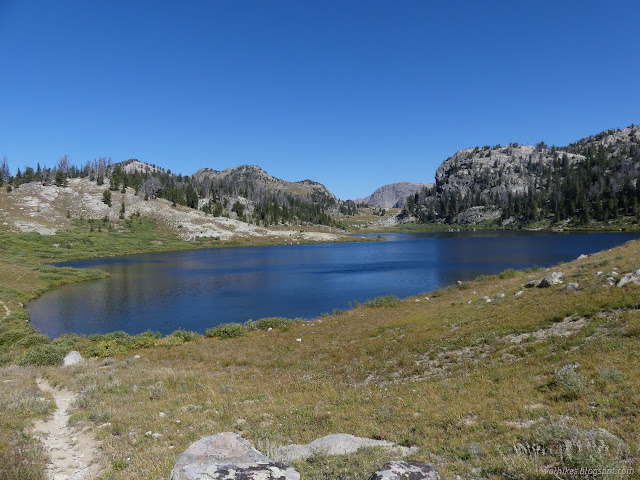
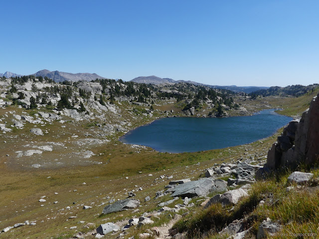
I was looking around for camp spaces but never saw something obviously used. When I got close to that last crossing of Elbow Creek, I just wandered off trail and found a few things with potential. There were breezes blowing, but not much. I wasn't sure how much shelter would be needed for the night weather. I ultimately went for a spot where I could move to shelter behind a rock if needed. I had a neighbor far on the other side of the trail, closer to the lake but still at a legal distance from both.
I decided to get water from the lake since Palmer Lake water was so much nicer than the inlet to Cutthroat Lakes. It wasn't quite so good. I found the old trail on the way back. It looks like it fell into the lake on the northwest corner and they reconstructed it much further from the water. Then I chatted with my neighbor a little and headed back to my camp for some eats and sunset.

It was a pretty good sunset.
same trip, next day ⇒
*Bridger 2022 photo album*
©2022 Valerie Norton
Written 16 Nov 2022
Liked this? Interesting? Click the three bars at the top left for the menu to read more or subscribe!


Comments