Provo River Falls and Slate Gorge
Uinta-Wasatch-Cache National Forest
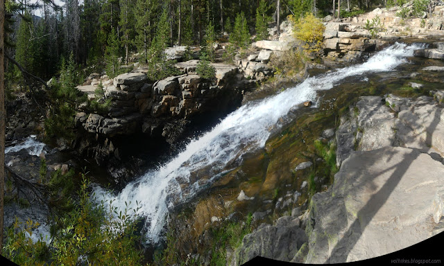
Provo River Falls
(location)The sign for the falls seemed to be pointing at an iffy turnout, so I ended up hitting the brakes hard to make the actual turn into a paved lot with a bathroom. The parking requires a recreation pass for the Mirror Lake Area. (The turnout would not, though.) There's a couple signs about the importance of the area as a water source. The falls aren't a far walk, but there is a hill and some rough patches to get there. It's paved, but not accessible.


I was expecting hard rain sometime in the afternoon based on weather I'd managed to download near Ruth Lake and again on Bald Mountain. The clouds seemed to already be getting set up for the deluge. It certainly wasn't ideal for photographs. Still, being there, I might as well keep going. There's more waterfalls to be had along this short stretch of path.


There's no trail to get down to look at the lower fall from below. There's a fence to prevent this, in fact. There's probably more to see further along. (In fact, there's the gorge up next.) I tried to grab a few more photos of what I'd already seen as the sun teased me by coming out briefly.


When I got back in the car, I found my missing GPS on the floor by my pedals. It was just what I wanted because I was stressing about the fact that it wouldn't be worth the gas to drive back to Wyoming and look for it, even before calculating in the odds of actually finding it, yet leaving it would mean e-waste in the environment. Assuming it was there. Which it wasn't because it was under my seat and all I needed to find it was a little hard braking. On top of the happiness finding the falls better than advertised by the forest's Mirror Lake area visitor map, I was feeling pretty good.
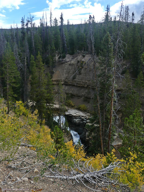
Slate Gorge
(location)For Slate Gorge, I saw the turnout but hoped there was a nice parking area if I just keep going. Nope, just the turnout on the east side of the road. My turnaround wasn't too far further and easy enough. This parking does not require a permit, but access is a little more difficult, as is getting a good view.


I walked around a little. The old road may have run a bit closer to the edge before and that's still there to walk along, but with downed trees. There's waterfalls here, too.


I could do a little leaf peeping here, too.


I was feeling extra good for finding the bonus waterfall, but wondering where else I should be looking for more. There's undoubtedly more to see among these rock layers. There's a picnic area in between these two stops that I didn't check out. Maybe?
*Wasatch 2022 photo album*
©2022 Valerie Norton
Written 4 Dec 2022
Liked this? Interesting? Click the three bars at the top left for the menu to read more or subscribe!


Comments