Yellow Pine Trail
Uinta-Wasatch-Cache National Forest
(map link)
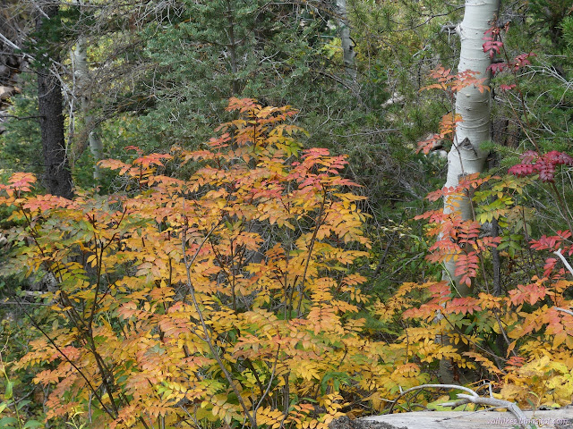
I wanted one more leaf peeping stop, so pulled into the Yellow Pine Trailhead. I must admit, the canyon had looked a bit grander where the trails tend to be built for ATVs, just a little before getting here. This is another trailhead that requires a Mirror Lake Recreation Area permit to park. There were quite a few vehicles parked there already, but many of them were actually there for a recently completed Slate Creek Trail, a one way loop trail for bicycles. I pondered it and discarded it. (Hikers are allowed, and even may go the wrong way.) With expectations of plenty of rain in the afternoon, my plan was simply to go until the rain started, then turn back. It would be really cool to get to either Yellow Pine Lake or Castle Lake, but it's not quite so nice when the views are grey with rain.

I decided to set both the GPS and the phone (using the Peakbagger app) to track the hike so I could compare and contrast. The GPS is purpose built, but the phone is 6-8 years younger and knows about entire systems of satellites that were decrypted since the last firmware update on the GPS. (Result: they both seem to produce about the same quality tracks.)
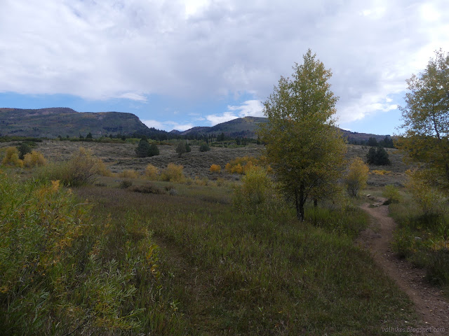

Then I forgot about the electronics to take in the colors and the "yellow pines", which mostly weren't much so far. Yellow pine is a common name for ponderosa pines from when the gentle Jeffery was classified as a subspecies of the prickly ponderosa. These are ponderosa, not Jeffery, and a most amazing fragrance was emitting from the bark of a few of them as I passed. I breathed it in and decided that ponderosa is the best pine. Not just the scents, there's also the puzzle piece bark! Nice, long needles in not too bulky bunches. Tends against bifurcating into silly shapes. Yep, best pine.

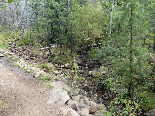
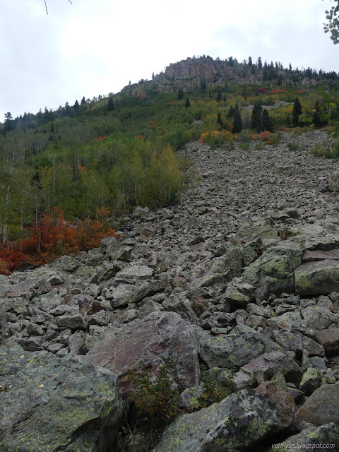
I passed a couple trail workers putting in some water bars on the way to the creek. Trail sort of follows old road up along Yellow Pine Creek. The road bed is obvious at first, but higher up I spotted some old fords that were long abandoned and the road to them vanished in vegetation. The trail crossings get bridges now.


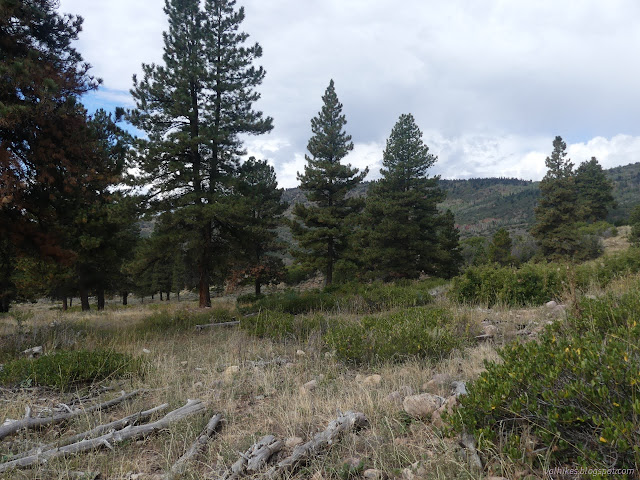
The ponderosa pines were quickly replaced by other evergreens as I climbed. Surely there should be more if the trail and creek and lakes above are all named for the tree? Maybe there's more patches up high.


It began to rain, but it was light and I didn't bother to turn around. Not yet.


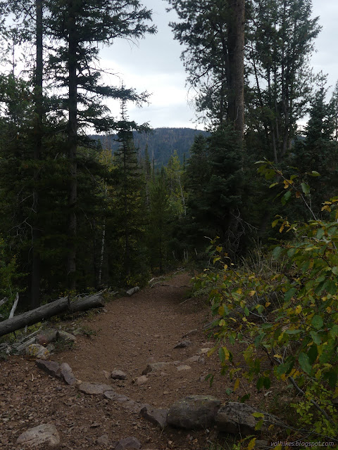
The rain got harder and I heard chainsaws at work not far above me. There is a space marked as unvegetated on the Forest Service topo that I was vaguely aiming at for the view that wasn't much further. I decided since I'd gotten hints at the view I would have and it wasn't shaping into a thing of flowing color, I may as well turn around before disturbing the trail workers.


The rain let off once I'd turned around and things even seemed to be clearing up by the time I made it to the bottom.


So there was plenty more I could have done without dealing with too much rain. It did get pretty torrential in the late evening as I headed west.
*Wasatch 2022 photo album*
©2022 Valerie Norton
Written 5 Dec 2022
Liked this? Interesting? Click the three bars at the top left for the menu to read more or subscribe!


Comments
Nice post, showing how well worthwhile it is to pursue the modest charms of less obvious attractions.