Kings: Kings Peak, Painter Basin, and Henrys Fork
Ashley National Forest
Uinta-Wasatch-Cache National Forest
(blue line, map link)
DAY 1 | DAY 2 | DAY 3 | DAY 4
My sunny third morning started off clear enough. Once the sun started hitting the wet valley, the clouds billowed upward and filled it.


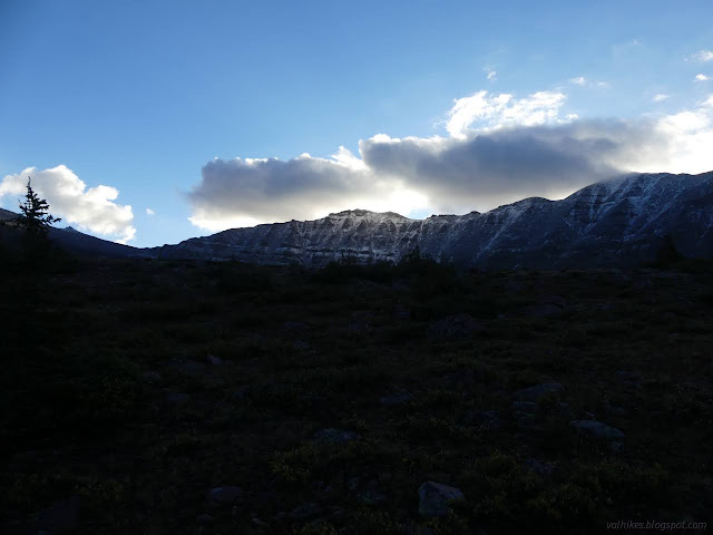
I dallied a bit in starting in hope it would clear again. That didn't include drying the tent. Some things take far too long. I had to shake a thick layer of ice of the rain fly to pack it.

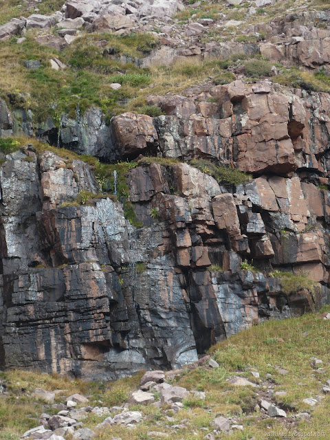
I found little streams higher up. They weren't any closer than what I'd collected the evening before, but would have been less climbing with the weight. They came off small waterfalls further up.

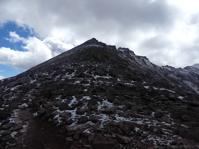
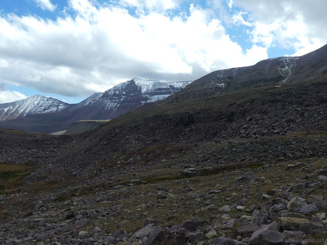
The peak was still shrouded in cloud when I got to Anderson Pass. There was a jacket half covered in snow but not looking like it had been there long. My solitude was gone again as there were folks coming up the other side and the first of the trail runners were already coming off the mountain. Me: in puffy pants. Them: in shorts. It was cold! and breezy! I like to make sure my working muscles are warm enough to work properly. It's no good missing a rock because your cold muscles twitch too slowly.

I stashed half my gear before turning and heading up toward Kings Peak. There was a very distinctive trail at first, but it vanished pretty quickly. I was stepping on thin snow a lot of the time.

Someone seemed to be messing with my stashed gear, which was... differently disturbing from finding snowed over gear at the pass. I decided not to worry about it and got back to deciding on a path through the rocks and thin snow and wet.

I had hoped to go after South Kings Peak, which was once considered the high point, but it took so much time to get up just to Kings Peak that I discarded that quickly. I found a geocache! First in that county for me.

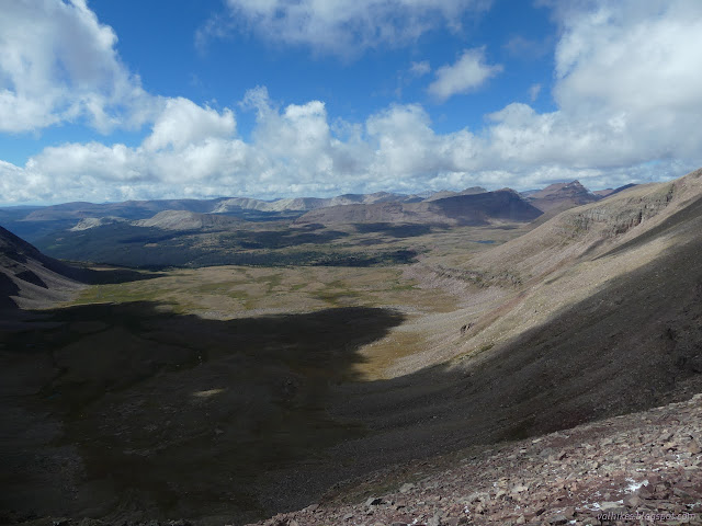
Then I collected some views in long form in two groups. (Click panoramas to see them bigger.)
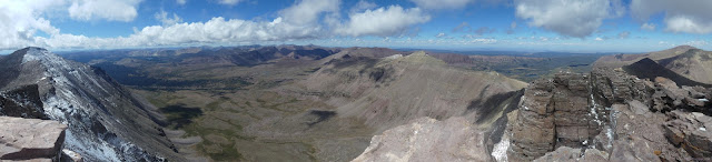

I pondered the places the Uinta Highline Trail travels, then started down. It wasn't nearly as terribly long to get back to Anderson Pass as getting up. My wet gear had been kindly placed in a second plastic bag so it wouldn't get any wetter if the rain came. I'd been hoping it would dry a bit while the rain didn't come. So it goes. I packed it up including the gifted bag and headed down to relative solitude since I stuck to the Uinta Highline Trail while most people were cutting across to Gunsight Pass on a high route. There was more snowed over gear along the trail. I'd been told that people were caught by surprise by the storm the day before. (That's the one I'd been expecting and dictated my direction on this loop.)

That initial flat is an interesting one. I could hear water gurgling away all over, but it was all down under a multitude of rocks. It eventually comes together into a creek and flows near and on the surface. The trail roughly follows it down into Painters Basin.
My plan was to head on down to the official junction with the Gunsight Trail before turning up again. It was questionable if I had enough time to get up and over the pass if I did that. When I spotted the lower shortcut, I took that instead. I suspected it would be drier as well as shorter. There's a lot of random ponds out there.

The shortcut starts off on a steep drop, then hugs the edge of the steep slope. There were a couple well used camps along the way. If I hadn't been thinking the last day would be too long, I'd have used one of them.


I found myself on official trail again after a big step down and just before a large creek crossing. It's amazing how much water can be so high up. I followed rebuilt trail for a nice climb to the pass.

People have been going directly down from Gunsight Pass to Henry's Fork. I elected to keep to the trail. It was again a nice slope but it collected a stream early on. Besides that, there was a small pond right at the top. Water everywhere! Except where it isn't because if you don't pay attention, you can dry out.


I'd been told a good place to camp, but it was past my junction with Henry's Basin Trail. I wasn't interested in following Henry's Fork down that far. I got creative instead and found a few potential places. There was a tent already in the general area I was really hoping for by some rocks. I found a spot by some trees instead. I finished the evening noting that there was now a pinhole in my shoes, by the right little toe. It took a lot longer for the King Mt 1.5 than the Lone Peaks, at least partly because they actually fit. They almost lasted an acceptable number of miles before that first hole. The soles were superior except that they were looking a bit worn and changing colors in some spots. I would consider getting more pairs. Great to know now that the 2.0 have come and gone and Altra have replaced them with nothing.
same trip, next day ⇒
*Wasatch 2022 photo album*
©2022 Valerie Norton
Written 25 Nov 2022
Liked this? Interesting? Click the three bars at the top left for the menu to read more or subscribe!


Comments