Hayden Fork Bear River
Uinta-Wasatch-Cache National Forest
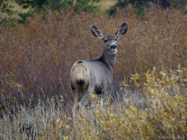
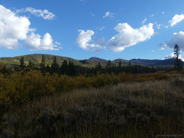
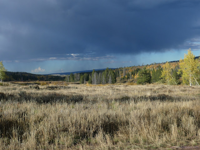
(location map)I meant to have one more short hike for the day along the Main Fork Bear River Trail. This is another that does not require a permit for parking. Not yet anyway. It does require high clearance to get to the trailhead. I was almost lured in by the first 20 feet being paved. Instead, I parked across the highway and a couple hundred feet south on a turnout at the bottom of Gold Hill Road. This is another 4x4 road, but it has a turnout next to the highway and a staging area further up that are accessible to a small car. It started to rain as I drove down and as I tried waiting it out, it just rained harder and threw in flashes and rumbles for good measure. When it was done, it was an hour to sunset and probably less to full shadow. I decided to at least check on what the crossing of the Hayden Fork of the Bear River looked like. The area was stunning with the season and I can be excessive with the photos, so I've decided to include these as a "sightseeing" post. The post storm, late afternoon light was really something.


The crossing didn't look bad. There's no bridge or anything, but rocks have been placed to make a very reasonable hop across its 15 or 20 feet. It wasn't surging from the storm.


Having found the river crossing reasonable, I could still do the trail. This forest puts dots on the Motor Vehicle Use Map along the roads where dispersed camping is allowed. It is not allowed along UT-150, but it is allowed on Gold Hill Road. I was parked flat and legal and it was getting late and I wanted to be there again in the morning, so there wasn't a lot of motivation to move. Happily, that part of the highway has almost no traffic at night. Trucks generally don't pass even in the day.
*Wasatch 2022 photo album*
©2022 Valerie Norton
Written 2 Dec 2022
Liked this? Interesting? Click the three bars at the top left for the menu to read more or subscribe!


Comments