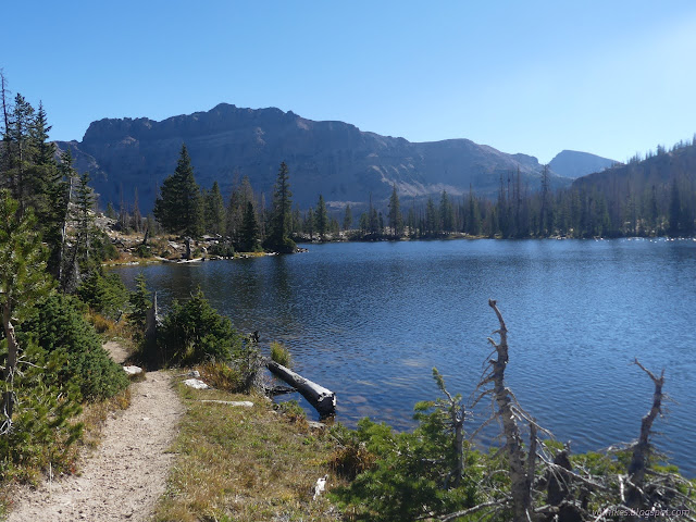
Ruth Lake and Jewel Lake
Uinta-Wasatch-Cache National Forest
(map link)
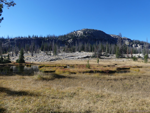
Parking at the trailhead for Ruth Lake requires a permit as part of the Mirror Lake Highway Recreation Corridor (UT-150). It even had a fee tube with a note that Saturday was a fee free day even if I ended up charged for it. (Grrr!) The trail rises its way from the highway to Ruth Lake in 1 mile, then continues upward to connect to Lofty Lake Loop on the ridge above. I had plans to visit Ruth and a few more lakes which have use trails visiting them.


There's a couple generic ecology signs along the way to make it an interpretive trail. Trees make oxygen, animals live here. If you take in such things often, you'll learn nothing new.

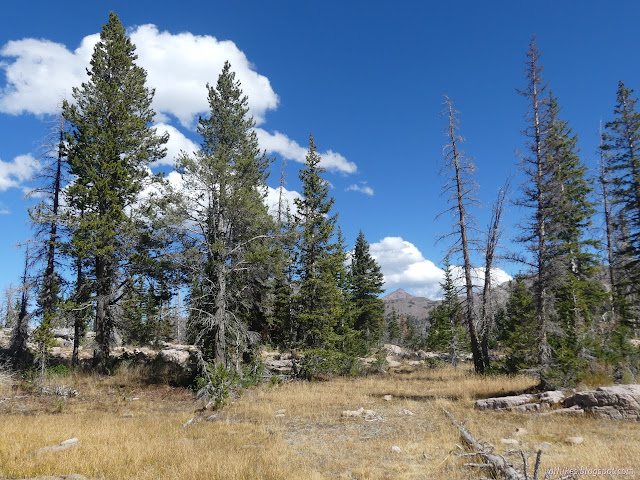
There's an old junction early on. I got to wondering where it might have gone once, but didn't get to exploring. There's plenty other space I was already planning to explore.
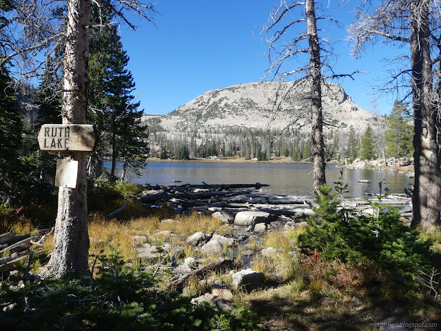
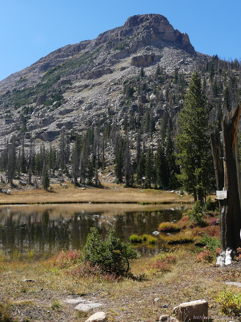
I wandered along the edge of Ruth Lake until I came to a use trail that looked like it would climb to Naomi Lake and did just that.

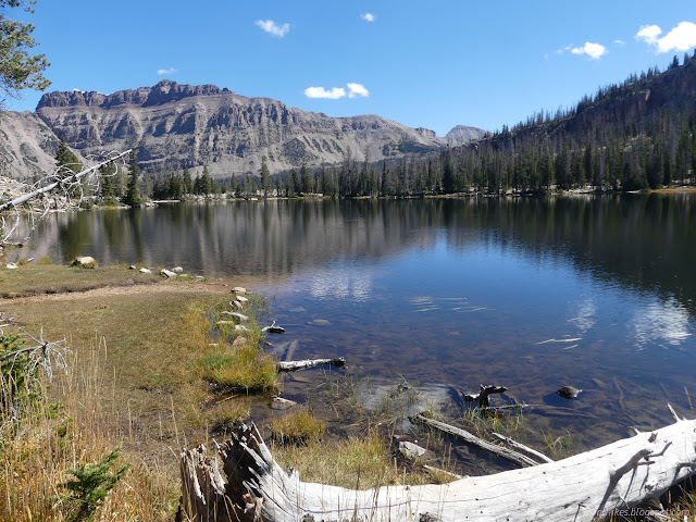
There's a long rocky arm beside the lake. I climbed up on it and walked it toward Fir Lake. I passed cairns, but was only incidentally following them.
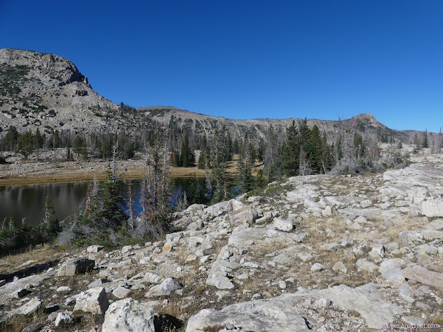

I rounded Fir Lake, climbing to find a geocache and a bit higher for a nice view over the little lake.

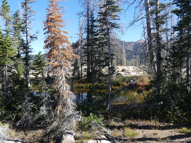
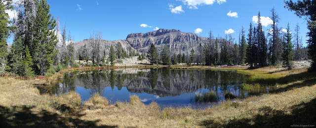
Then I rounded the lake some more and made my way to Jewel Lake. I found more thin trail and a few impacted camps along the way.


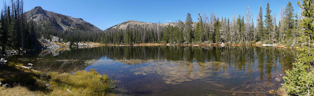
I rounded Jewel Lake as I had Fir Lake and found the most impacted camps on the northwest side. Trail is a little faint until climbing some rocks, but from there is pretty obvious except in the flat rocky places it crosses.

I arrived back at the Ruth Lake Trail at a spot marked by a cairn. I decided not to climb the ridge since I would probably do the loop trail it gets to later. I headed down and out instead.
*Wasatch 2022 photo album*
©2022 Valerie Norton
Written 1 Dec 2022
Liked this? Interesting? Click the three bars at the top left for the menu to read more or subscribe!


Comments