Mount Pisgah and HawkWatch
Wells Field Office BLM
(map link)
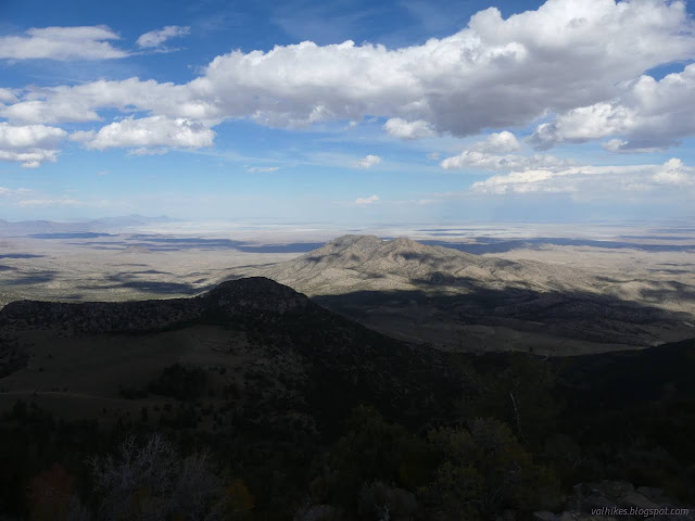
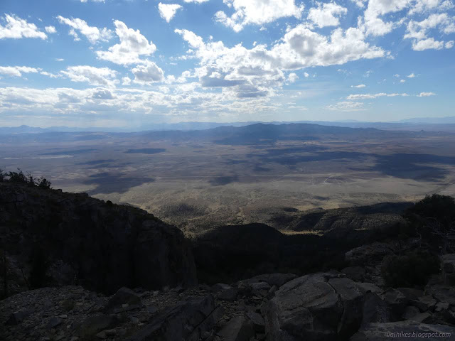
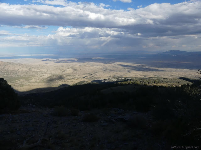
I wanted to hike something at the edge of that vast, salt covered desert, so wandered down US-Alt-93 to access the Goshute Mountains with particular thoughts of hiking Goshute Peak itself. I missed that turn, but got the turn for my second choice, Pisgah Mountain. There's a geocache at the top of it including a description gushing about a grand experience with the folks from HawkWatch International that inhabit the top at certain times of the year. The road is best found by the wildlife viewing sign and highway maintenance station. From there, it's 5 miles of dirt road and 3 miles of trail. Turns out, the first part isn't suitable for my extra disabled Scion pulling a trailer, and the last mile or more isn't suitable to the Scion at all. (I couldn't get enough grip to climb the hill with the extra weight and it gets very rough at the end.) I turned onto a random bit of very old paved road (a piece of original Lincoln Highway) and parked, then started poking around for a place to camp since it was too late to hike trail and road. That's when one of those HawkWatch folks stopped and offered me a ride up the road. I'm trying to be better about grabbing opportunities, so I tried not to worry about how I might get back without too much trouble to anyone (he said there might be someone coming down later) and accepted. It takes a couple turns to get to the right parking area. They're supposed to be marked by binocular signs, but the only one remaining is at the very end and even it is loose. There are detailed directions at the link above.
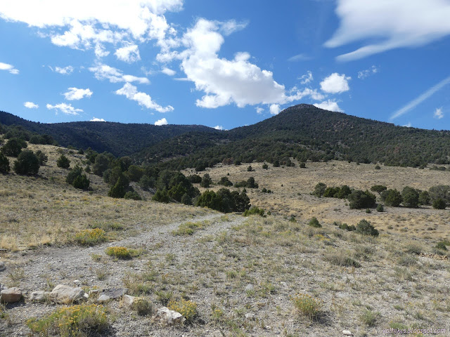

The road continues a little way further, but the parking is at the last area big enough for a turn around. Signs and a register are at the end of the old road. They include that only remaining binocular sign and a recognition of the Goshute Mountains Wilderness Study Area. It's single track after and it gets steeper.


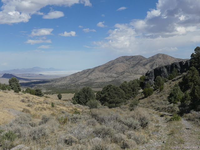
I got a little tour of the top. Everyone was out working at the north end of the peak. There's both counting and trapping of raptors. At this point, I just saw the counting. A few hundred birds had been counted for the day so far. It made me feel so unobservant, only seeing one here and there. A few black spots were pointed at and zoomed in with the 25x camera, they were birds. Binoculars would be better. They're counting migrating raptors, so of course there should be a bit more. Also, raptors migrate. That does sort of explain the bald eagles in various Alaskan cities that are as great a nuisance as the flocks of pigeons other cities get.
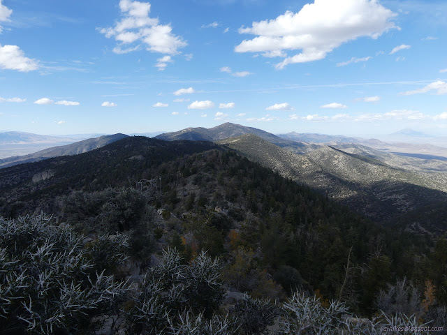
Then I headed up to the very top, because bagging Mount Pisgah and signing that geocache were on my to-do list once I'd decided to come up the peak. I circled around to the south side to go up. There's a few faint trails, but nothing official, to get to the very top.

As nice as their perch on the north side of the peak is, the top is nicer. I found the geocache had been usurped to hold the peak bagger registers, which wasn't so surprising given how close to the tip top it was set.


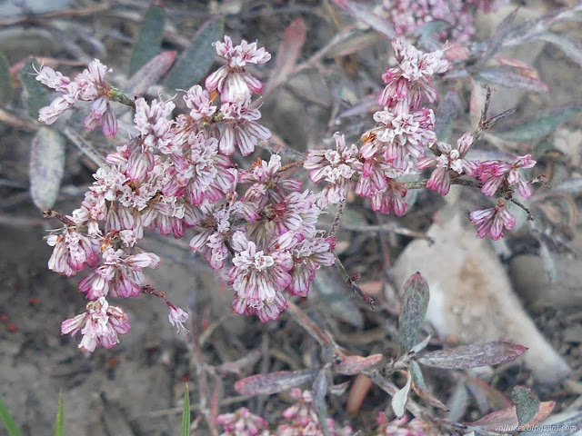
Then I headed back for a little more bonus learning about raptors. The folks are really good with explaining all sorts of things to the public and they'll let you hang out in the blind and see the birds that get trapped. There were two female "sharps" captured while I was there. They got weighed and categorized by simple things like eye color and more complicated things like if there were retained feathers from last year and how much fat they've got. You can see the fat right through the skin and though neither had much to show, there's enough of muscle to see to give one the willies. Then they get a tag. They'll let you toss the bird back to the sky, too, but I didn't feel the need to hold the bird. Let it get going as quickly as possible, instead.

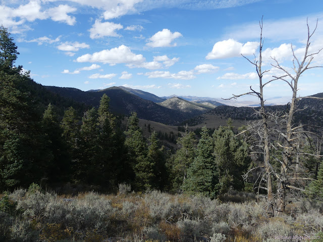
After an hour, which was a little slow to only have two birds, it was time to head back down. They finish at 5, you see. It was a rather beautiful sunset to finish off a rather stunning day.
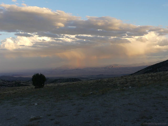
And so what that I still had some beans to boil before I could eat. It's not like dark is too terribly inconvenient for cooking. It turned into a grand day all around.
*Lake Bonneville photo album*
©2022 Valerie Norton
Written 6 Dec 2022
Liked this? Interesting? Click the three bars at the top left for the menu to read more or subscribe!


Comments