Whiskey Creek to Bourbon Lake
Uinta-Wasatch-Cache National Forest
(map link)
It's along the Mirror Lake Highway (UT-150), but no permit is yet required to park at the trailhead for Whiskey Creek Trail, across from Sulphur Campground. My map shows a 4x4 road going up to a spring that provides the camp with its water, but little is visible of this. The trail follows its own route from the edge of the highway. I wasn't yet noticing that because the aspens had become a little more abundant and were resplendent in their autumnal dress.

Then I started up the trail. It's a bit of a climb.


The trail doesn't spend much time actually by the creek, but it does stop by it. Just past the first look is a short spur to a bench over the water. I took a moment. Why not?


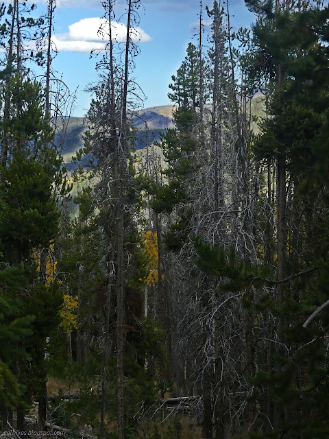
Then I got to hiking upward again because there's more up to go. If I looked hard enough, I could find the imprint of the old road passing the spring and going somewhere just a little further up.

I found a pair at the lake and one was having very extraordinary luck with the fish in the lake. Every time he threw his line, something bit right away. It wasn't very big, but it was something. He kept throwing them back, which was made easier by a barbless hook. (He wasn't all that determined to catch something.) We could see bigger fish jumping frequently, but none of them wanted to land on the line nearly as much as the little ones. I sort of wanted to ask to take a fish picture for iNaturalist. Would that be weird? I never quite asked, so did not get one.


There's some well used camps by this lake too. The folks nearby must really appreciate their short overnights. The thickening clouds were beginning to feel a bit like they could rain soon and I headed down.


I got down with the clouds only threatening a little. It's not much more than 3 miles total.
*Wasatch 2022 photo album*
©2022 Valerie Norton
Written 1 Dec 2022
Liked this? Interesting? Click the three bars at the top left for the menu to read more or subscribe!


Comments