Lofty Lake Loop
Uinta-Wasatch-Cache National Forest
(map link)
Lofty Lake Loop was just too alliterative to pass up. The trailhead requires a permit for the Mirror Lake Highway Recreation Corridor like much along UT-150. I decided on a counter-clockwise direction because that would get me most quickly to the "ice caves" someone marked on OpenStreetMap.

The exceedingly clear trail climbs steadily toward a pair of lakes and Camp Steiner, which absolutely everyone actually calls "the Boy Scout Camp", some with an acknowledgement that the designation is out of date. Trails and an old road come up from the camp and all of these are marked with little metal signs. The casual hiker should be able to make all the correct turns even without a map.
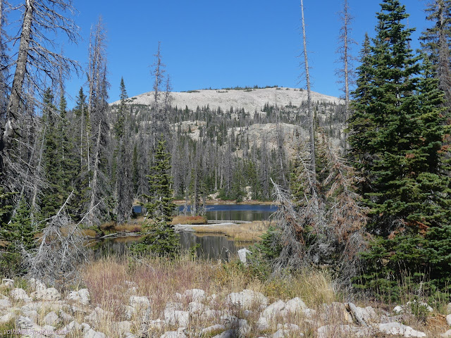
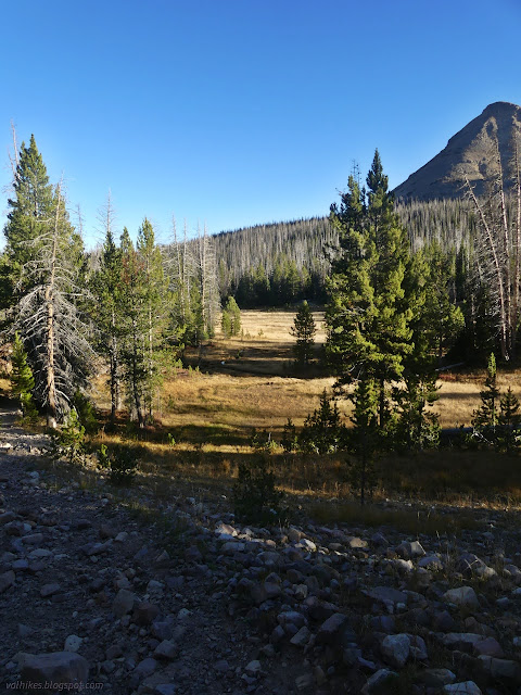
But first is a little unmarked spur where someone claims I can find some ice caves. I found a rock ledge with a bit of a view.


No matter how much I crawled around the point marked, I didn't find any ice caves. I did find very deep fissures in the rock that could easily keep ice for months. The air was substantially colder when crawling down into them. However, there was no ice and very little that could be called cave.


Now I remember this one ice cave out in the desert. The air was 80 or 90°F and the ice oozed out the edges into it. Going inward, it was thicker and thicker with an ethereal blue. Structures formed from the water and all of it would not be melting just because it was summer. It's possible the memory has been made grandiose since I was quite a bit shorter when it was made. Still, this isn't an ice cave, just a pretty good ice box, but it melts out with the season.

So off to the rest of the lakes, then climbing again.
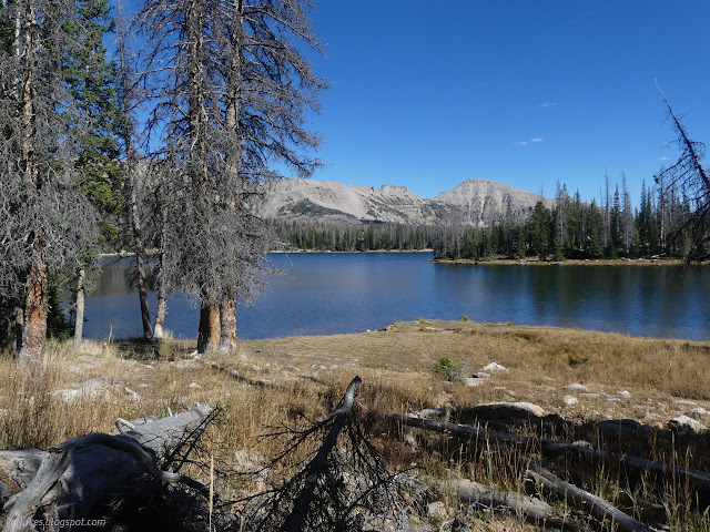

The junction with the Ruth Lake Trail is marked with a stack of four little metal signs with raised metal lettering. They mark the miles as only 1.6 to the Ruth Lake Trailhead and Lofty Lake just 0.3 ahead. I wandered a short way along the trail just to reach the ridge and the view out over Bear River.


Then I climbed. Not far to go to get to the lake!


It's a bit of a complicated geography around the lake. I'm fairly certain the triple divide point for Bear, Duchesne, and Weber Rivers was a seemingly unremarkable spot along the trail just before popping over to see the lake. (It's approximately where the county line meets the ranger district line.) The trail flows a bit here and then over to there. It drops into the Bear River for a much better view than what I got off the Ruth Lake Trail. There's a most definitely guerrilla trail dropping steeply down to Cutthroat Lake marked by another little metal sign.

After that glance over the Bear River, the rest of the trail is in spaces that drain to the Weber River.
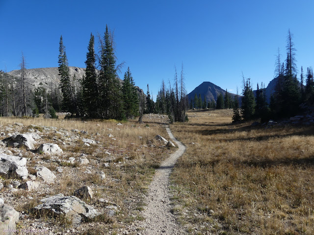


The trail does quite a bit of dropping, but not quite so steeply as it once did. There's still some people following the drainage, because a trail can never be too steep for some. I let it wind nicely.


Reids Meadow is where one actually meets Weber River. It has quite a few little tributaries to cross on the way to crossing the river itself. It's just a small creek this far up, of course.


From there, it's a gentle climb back up to the start with an option to pop over to the highway at Pass Lake and a meeting with much longer Weber River Trail.

*Wasatch 2022 photo album*
©2022 Valerie Norton
Written 4 Dec 2022
Liked this? Interesting? Click the three bars at the top left for the menu to read more or subscribe!


Comments