leaf peeping on Main Fork Bear River Trail
Uinta-Wasatch-Cache National Forest
(map link)
Parking at the trailhead for the Main Fork Bear River Trail at UT-150 does not currently require a Mirror Lake Highway Recreation Corridor permit, but it does require high clearance. I parked in a turnout across the highway on nearby Gold Hill Road. There's no signs on the highway for these. You need to already know where they are to get to them. I wasn't sure what to expect of the trail. The Forest Service topo indicates it crosses from Hayden Fork to Main Fork, where a road almost reaches the trail. The trail then continues upward to Hell Hole Lake. OpenStreetMap has the very different idea that it connects with a road and more trail continues after about 2 miles from the last river crossing. I would see. My plan was to get to the Main Fork, at least, and check out the leaves on the way.

I easily rock hopped across the bit of Hayden Fork I had scoped out the evening before, but realized that may not be all there is to the crossing. There's one or two other trickles of water that may have to be crossed.

Following the old road that is the trail, I came to an old ford that was dug out into a pool over a foot deep by vehicles of the past. Stock have made a trail rounding to the south of the pool and hikers have stacked some wood on it to try to make it palatable. I got one foot soggy and it was about to get even worse and I decided it wasn't for me.
I wasn't ready to retreat entirely. I looked around for where crossing might be better. Downstream looked like it would be a world choked with willows. Upstream looked like it could work. I wandered that way noting pool after pool before finding a frosted over meadow that allowed me to easily cross the tiny trickle of water that is keeping the pools full.


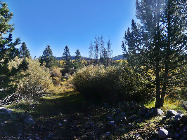
I found my way back to the old road. It was easy enough on cow paths and simple to find by the parallel row of rocks moved from a wide path. If that wasn't obvious enough, someone had added a few big cairns. I followed it all the rest of the way across the sage brush and in among the point of it all, the yellowing trees.


Under the trees, the trail got to being a trail with an extra large prism. There was no worry about losing it and there were minimal downed trees to deal with. It probably got work in the last year.


I came to a sign tucked away at the edge of the old road warning of "heavy equipment crossing 500ft" and figured that meant a junction was coming up. Just as foretold by OpenStreetMap, I came upon a road, and not a bad one either. The stretch I saw was Scion ready although narrow. Getting there might be another matter.


I wandered a little way down the road. Had I not already planned out my hours with other things until the next storm should hit, I'd probably have kept on going to where there is trail again, then on to Hell Hole Lake to see what they're hiding with that name. I had food and a filter, it would have been fine. Instead, I took a few looks at the water below and turned around.

Then I retraced my steps except for some variation in how I got to the crossing I used for that tiny trickle of water away from the main flow of Hayden Fork.

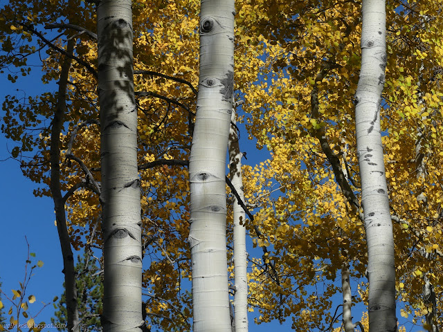

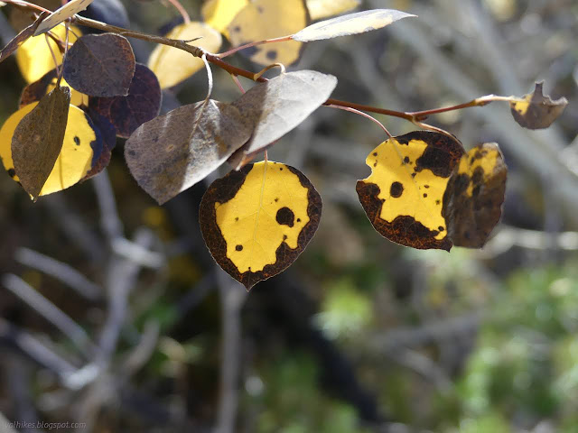


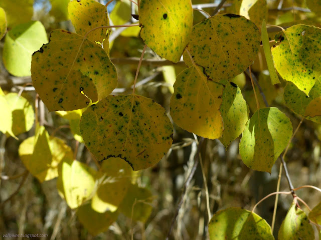

Short, but delightful to really look at the leaves along the way.
*Wasatch 2022 photo album*
©2022 Valerie Norton
Written 2 Dec 2022
Liked this? Interesting? Click the three bars at the top left for the menu to read more or subscribe!


Comments