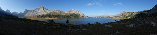
Boulder: Middle Fork, Pipestone Lakes, and North Fork Lake
Bridger-Teton National Forest
(orange line, map link)
DAY 1 | DAY 2 | DAY 3 | DAY 4
The stormy night wasn't anywhere near so cold as I feared it might be and I woke to the smoke cleaned up and most the clouds gone too. It was 28°F, but oh, what a beautiful morning! I spent it in my puffies.


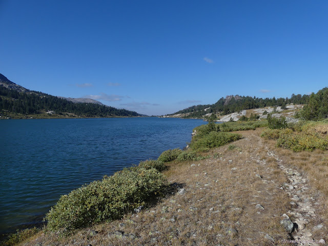
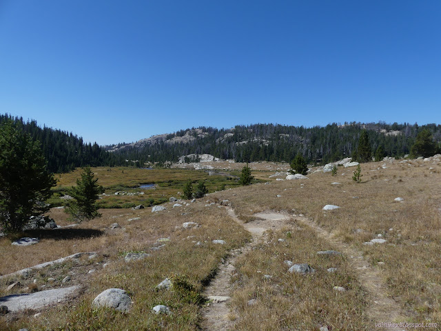
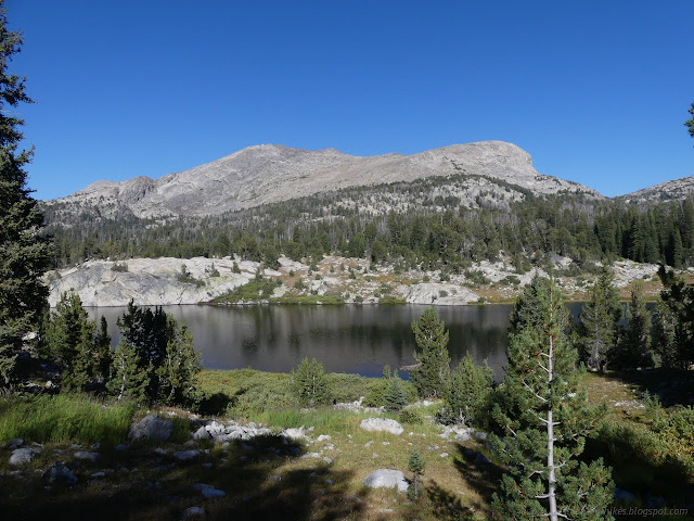
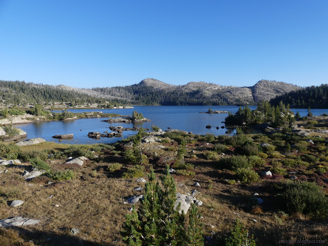
I was still in shadow as I took off down something resembling trail. Water oozes out of the land near the lake and small streams come down from higher up frequently. Many of these were partly covered over in ice.

The willows were encrusted with ice, so I regarded the terminator between shadow and sun with a mild dread. Not far past it, the ice was melting. With the easy walking, I was still happily in my coat. Wet trousers aren't fun. Knocking the water off when I got there helped a lot. Happily, there aren't all that many willow patches.


I passed a group snacking in the sun on some rocks as I wandered between obvious trail and vanishing trail. Eventually it seemed I joined something that had been wandering along just a little bit higher. Before leaving the lake, trail coalesced into a single entity and was much easier to follow all the way down the Middle Fork Boulder Creek.

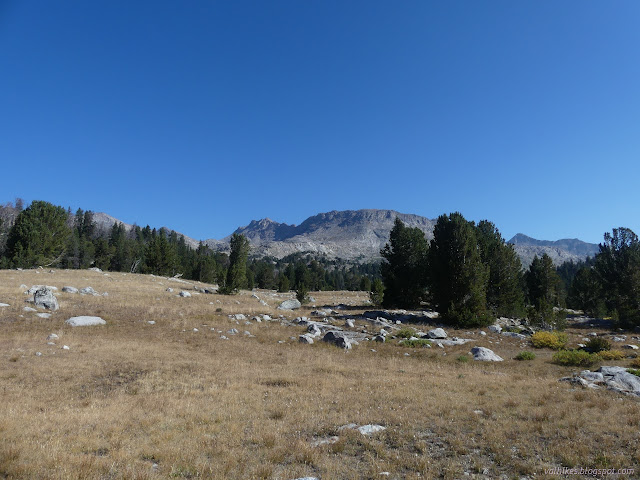

I stopped for a snack and finally took off my coat. Opened, it hadn't quite been too hot yet, but the chill of the morning had definitely finished.


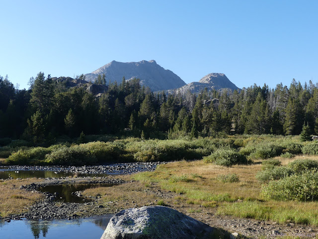
I arrived back at Fremont Trail and the Continental Divide Trail following along it. This stretch must have been an important route once. Someone put benchmarks along it.

I wandered off trail to go looking for the first benchmark marked and found a nice rock next to a pond to place it, but no marker. I was probably too fixated on the big rock area and the ones I found later had a tendency to be in random smaller rocks.
I had some thoughts about tagging Halls Butte, but the route I was thinking of turned out to be rather cliffy. I didn't end up even trying. It's in a rather treed area, but should have at least a 180° view.

I was expecting the trail would be rather clear. There actually were a lot of trees down, most of them with not just one, but two well worn walk arounds. The horses often have to go further off trail to get around the trees. Sometimes there were different walk arounds for each direction. It rather illustrates why is might be necessary to be more proactive about clearing well used trails versus those lesser used trails.


The Forest Service would have me believe there's no other trails along this section after the junction for Lake Isabella by the Pipestone Lakes. There were a couple fallen signs for old trails that climb up to the various named lakes to the northeast, though.
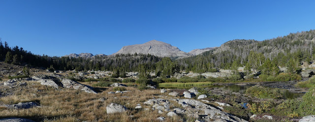
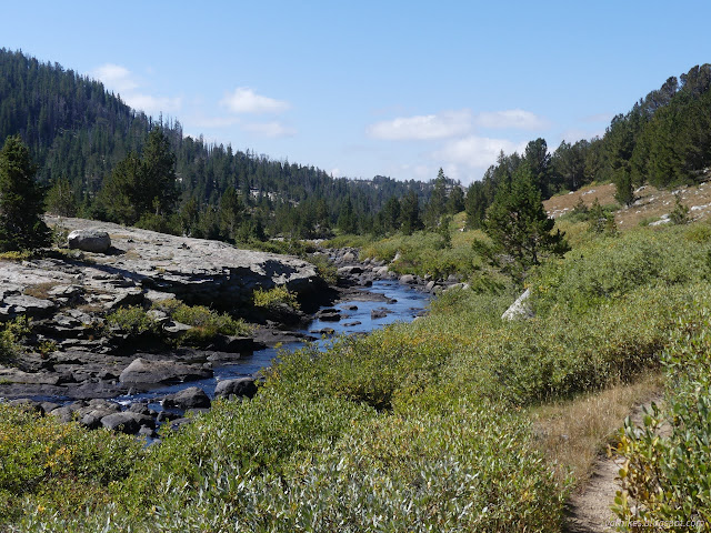
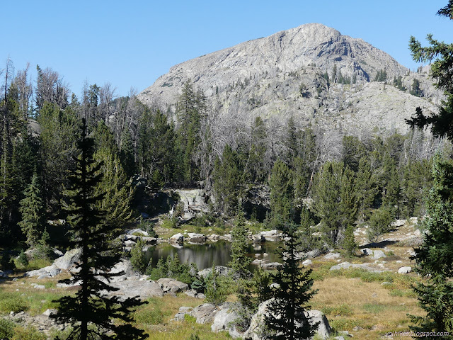
The map showed a random bridge far off the trail. I suspected that if that really existed, the trail would still go across it. After crossing North Fork Boulder Creek on a multitude of rocks, I went off to see where the trail used to cross. I was also sort of looking for a camp site.
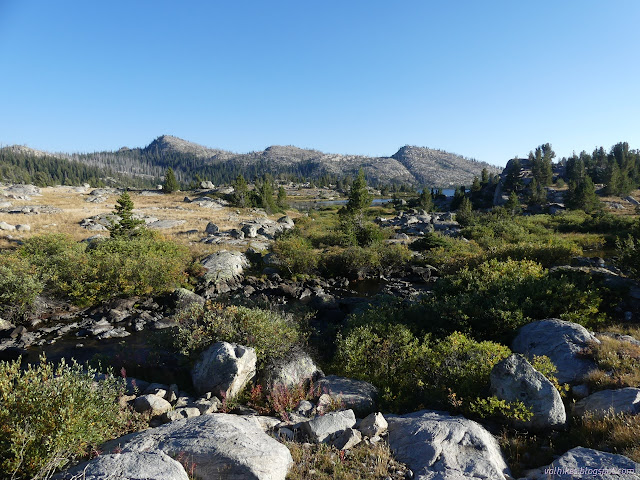
There's places one might camp, but I decided to continue on around the lake trying to find something that might be hit by the rising sun. I keep failing at this, but trying anyway. Pulling out the compass might help.
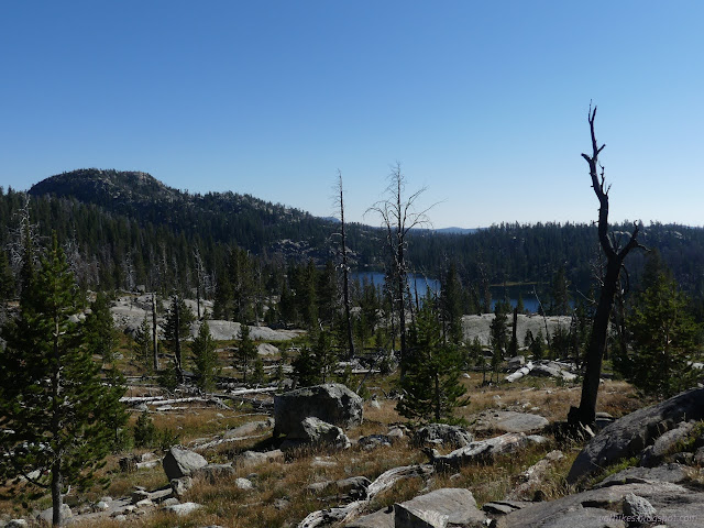
I finally decided on a camp just past the junction. This junction has enough traffic that there's large shortcuts and I got on one. That was unacceptable! I had one more benchmark to look for. (Found it.) It also would have left me missing my perch up above the lake that turned into camp.

same trip, next day ⇒
*Bridger 2022 photo album*
©2022 Valerie Norton
Written 23 Nov 2022
Liked this? Interesting? Click the three bars at the top left for the menu to read more or subscribe!


Comments