Bridger Peak
Medicine Bow-Routt National Forest
(map link)
My original plan for the day was to start backpacking south from Battle Pass on the Continental Divide Trail (CDT), but I decided the evening before to put it off a day for a hike north as far as Bridger Peak. Here, the trail actually follows a road although my map showed two trail diversions. These weren't enough to persuade me to try it, but I decided that Bridger Peak is a worthy destination. It is a range 5 high point with 1884 feet of prominence and 25 miles of isolation as well as a former fire lookout site. I decided not to change my start point and walked the ridge from the rest area, break check, and trailhead on the south side of the pass. There's a second rest area on the north side with some good signs about Battle, Wyoming, which was once there. Now there's a scattering of homes built on mining claims and a few other remnants of mining history.


I set off along the ridge top rather than the road and ended up following an old road cut to the northern rest area where Battle once stood.


After my visit to Battle, I continued north to where the CDT splits off from the highway and onto a 4x4 road. There's a junction just off the highway where the first trail segment starts, but that wasn't my goal yet. First, I wanted to look for the Battle Cemetery. I counted over roads and headed off in what increasingly felt like the wrong direction. Two of the roads I expected had sort of fused thanks to the actions of dispersed campers and trailhead parkers, but there were the right number of roads because there was an extra, which is what I was on.
I turned left into the trees, promptly found an old ditch and followed that back toward where the cemetery should be. It had humps stuck in it so people couldn't use it as a road. I left it to get closer to the mark on the map, noting that there was the road I had been looking for and behind it, the metal frame of a table? Not sure, but the cemetery was below, so I continued below to wander among trees a bit, find where someone had notched a tree with an axe, but otherwise no sign of a cemetery. Then I went to investigate what was near the road. The "metal frame" was a pipe fence around one of the graves. The Forest Service has marked the cemetery too far down the hill and the road that looks like it is meant to get to it does in fact do so.


Besides the two most obvious graves, there were three yellow flags set out at stones and minor depressions, presumably marking more graves. I pondered if they really were, then put that into the class of things that might as well be true. I then headed for Bridger Peak Road, which is easier to find than the cemetery spur.

I read about Jim Bridger, explorer, fur trader, trading post owner. The sign also states the road is only for experienced jeep drivers. I'd say good Subaru drivers probably go up it. Maybe not the ordinary driver, but that guy who drove his to Owen's Peak with the Hundred Peaks Section and appeared quite comfortable as his car rolled along on 3 wheels half the time and 2 wheels sometimes could do it. This is the start of the first trail excursion from the road, so I turned to follow that. While it is a built trail, it is entirely too direct on the hills and will one day be a gully instead of a trail.


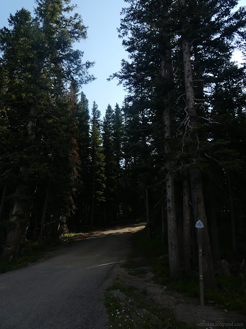
Coming to the road, I just had to follow it. A pair of motorcycles passed me, but they were the only other users I noticed for the whole day.


I came upon a wide brown streak on the road. After 100 feet it moved over to the side of the road, coating small trees as it went. The needles were dying where they were touched with brown. After another 100 feet, I found a tractor. An interesting choice for a vehicle and clearly not the right one.

I noted that I had already passed the second trail diversion, so went back to find it. I'd missed it because there was no sign and no hint of any trail. I followed the track on the map as best I could, but the only sign of a bit of trail was a spot where it crosses a loose collection of rock and feet have managed to produce a small groove. Someone stuck a messy cairn near this. I missed it because it doesn't actually exist.


So I returned to the road and hiked the rest of the way up to the spur road to Bridger Peak. I couldn't help but wonder what the wooden posts off to the left were marking as I went the long way around.

There's a shortened switchback on the way up and I walked way out on it to see the view from there before continuing to the top.


I looked around for evidence of the tramway marked on the map and couldn't find any from the peak. I had seen clear evidence of trail coming up to the peak road from the northern road and followed that trail south past those posts I was wondering about. It might not be marked on my map, but there is real trail that diverges from the road and passes much closer to the peak. I continued along the road for the rest of the way down, stopping at the tramway crossing to look for evidence of its existence once more.


I finished to find that someone had found that my car was parked (at a trailhead) and no one was around (at a place signed as a trailhead) and the bathroom has a door with a handle designed to turn but doesn't (I can't change that) and had called in a welfare check. For real. I had a pleasant chat with the Chief of Police of Encampment, who I guess got stuck coming out 10 miles from his jurisdiction since he's also search and rescue. I said I'd had a better than average hike considering it was mostly on road and he agreed that Bridger Peak is a worthy destination. Since I had him there, I decided to ask about water in the Huston Park Wilderness. He said I could fill up jugs at Encampment's City Hall, which is good information in general (so I'm passing it on), but not for when I'm setting up camp tomorrow evening. Turns out it's not the season he goes there yet. Not enough snow.
*photo album*
©2022 Valerie Norton
Written 2 Nov 2022
Liked this? Interesting? Click the three bars at the top left for the menu to read more or subscribe!


Comments