Huston Park: Parks and High Point
Medicine Bow-Routt National Forest
(purple line, map link)
DAY 1 | DAY 2 | DAY 3 | DAY 4
I packed up for four days but suspected my plan could only take three. That plan: hike the Continental Divide Trail (CDT) through the Huston Park Wilderness and a little further. The trail crosses an old road that happens to go past a state line monument, so I decided I would follow that down and see if I could find that monument before turning on my heels and heading right back north. There was at least one different trail diversion I could take on the way back. For the most part, trails in Huston Park Wilderness are spurs connecting to roads off the backbone of the Huston Park Trail running north to south, and hosting the CDT for most its length. It (marked #852 there) diverges by dropping to a low park (as meadows get referred to around here) and climbs back to the CDT after a similar length and about 300 extra feet of elevation change. I also wanted make a cross country climb of Red Mountain, so that makes a second diversion to new sights on the way back. Weather prediction indicated a good chance I'd spend at least a little time when I wanted to cook getting rained on, so I wanted my little roof. I decided to chuck the tent back in the gear bin and grabbed my bivy instead. It's Mountain Hardwear's "ultralight" (14 oz) version bought 10 years ago, but still looked good upon inspection. There's some delamination of the breathable layer right by the top where my hands have handled it directly, but that will stay under the roof. I used to have to roll it toward the zippers because not only was it water tight, it was air tight. That is no longer the case. The pack weighted 26 pounds with food and a couple liters of water.

Trail goes up a gated road which is really a driveway for some of the current inhabitants of Battle. There's a hiker box just past the gate. Plenty of signs point the way as the driveway divides to the different homes. Then it climbs to join the public road that provides access to the primary Red Mountain Trailhead. It's almost a mile extra hiking since I don't have a 4x4 to get there.

I was still a bit worried about water as this seems like the right time of year for drying out. The trail sticks high on the ridge where water can be hard to find. The map marks a seasonal stream Just before the wilderness. If it had water, I would try to stop worrying about such things.


And so I wandered my way gently downward certain that water can be found if you look in the right places and there should be plenty of right places. At first, trail was within trees, past a signed junction with a visible trail, and finally out into Long Park.

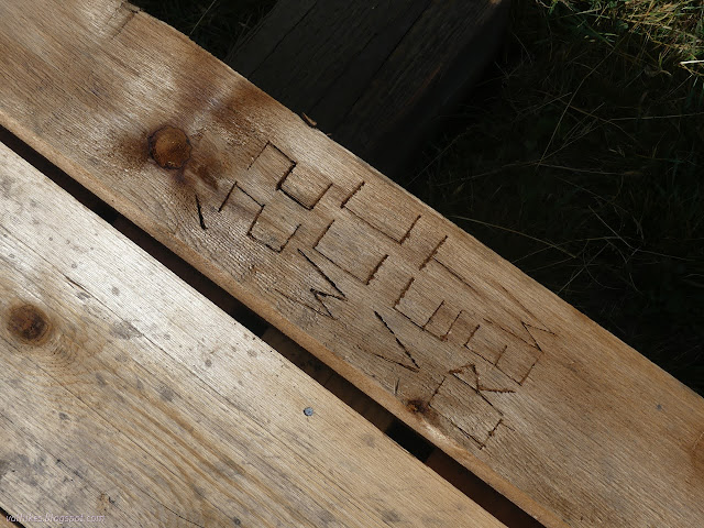
The parks are a bit boggy in places. Some bridges have recently been added to help keep hikers out of the mud in a creek crossing and a couple other spots. There's some more needed further on, but these were really nice.
Long Park is the source of North Fork Encampment River which is a cute little creek at this point.


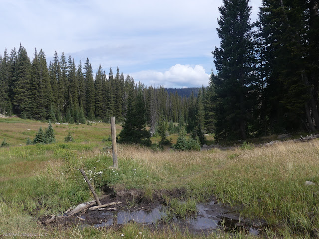


The sign for the Standard Park Trail just points out the route of the CDT, but the trail is visible going into the trees for the journey over the divide and down Roaring Fork Little Snake River which starts in Standard Park. It marks a corner where the CDT drops from the edges and threatens to travel muck again.

It doesn't get too mucky before getting into some wide flats playing on the divide itself before dropping into Huston Park at the head of West Branch North Fork Little Snake River.


I stopped at the last little bit of West Branch North Fork Little Snake River for water because it was the last for a few miles on the map. I should have stopped two crossings before where the water looked much nicer. The previous crossing wasn't quite as nice, but still nicer than this one. Since I wasn't going back half a mile or a mile, I just had to make do.


It wasn't actually the last of the water. I even had to get through a little muck, then found springs and pools.

It did come to rocky terrain with thinly scattered trees and dry soils eventually. Apparently I had been climbing because the wilderness high point is somewhere along here. I picked a point near where Peakbagger claimed it to be that seemed to be a bit of a crown of the area and tagged it. Yep, you can pretty much accidentally get the high point of this wilderness.


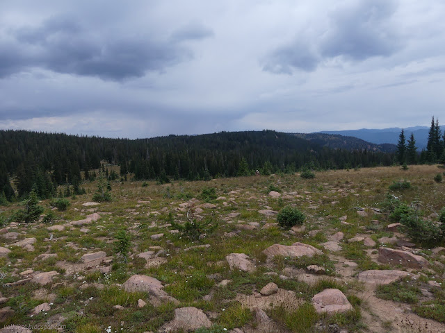
I found some more bonus water above a marked seasonal stream a little past the junction with Green Mountain Trail. (This is also signed and the trail is faint but visible.) I didn't find the old Huston Park Trail that should break downhill just past the junction. And to think it was a stock driveway once.
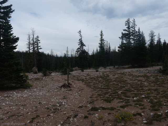

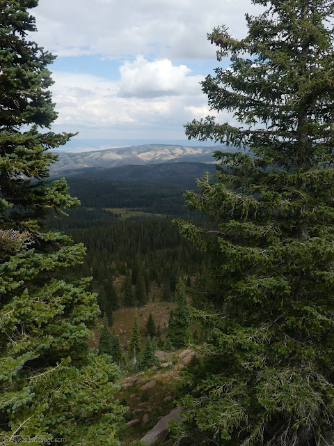
There was more rocky terrain and I was finding that there's old trails and new trails and it can be hard to decide which is correct trail. Cairns are often behind trees. I wandered off to the right side of the ridge finding nice views and no trail or even route past it. I'd gone the wrong way around some rocks.


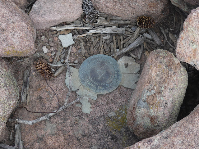
There is a benchmark with the designation Willow about a half mile from the trail and the route to get there is practically straight and flat. I decided to go for it. The benchmark happens to mark a corner of the wilderness. It is a shoulder rather than a peak although I later noticed that the person making the maps of the wilderness at the trailheads stretched the line marking the Great Divide out to it. Benchmarks, even high up ones, are not always on peaks.

The return was quicker than the getting there. Over a little hump is the point where a lot of elevation gets lost. The trail crosses a creek twice on the way down. The first crossing was dry, which is always disconcerting for a water source that you are relying on for camp water. However, once the creek was a steep hill slope below me, I could hear water pouring over the rocks. The second crossing was well served with water.


I gathered water and was planning to go just a little bit further with it. That was good because there's no sites down in the canyon. There is one right on the trail a tenth of a mile on. I managed not to trip over the campfire ring and went on to where the Huston Park Trail is supposed to come back up and meet the CDT. It's in a saddle, so easy to tell you're in the right place, but there's not much sign of anything there. I found a flat spot a little way up the hill and got my little roof up just before the clouds stopped just being foreboding and started dribbling. The day was drier than expected, but there it was raining when I wanted to be cooking as predicted. When I put it out, water beaded on the old bivy. I was set.
continue to the next day ⇒
*photo album*
©2022 Valerie Norton
Written 2 Nov 2022
Liked this? Interesting? Click the three bars at the top left for the menu to read more or subscribe!


Comments