Encampment: discovering the rest
Medicine Bow-Routt National Forest
(light blue line, map link)
DAY 1 | DAY 2
I didn't quite have enough water for breakfast, so packed it all up and got the quarter mile or so up the trail to the next tributary to eat, drink, and make merry. I couldn't help poking around a little and found that there's at least a little bit of use trail going up Jordan Creek, or perhaps it goes on the Drunkard Creek side. I didn't get far, but it seemed to be going somewhere. I didn't really get along the trail until 9AM, which is better for having a little light down into the canyon.
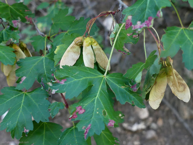
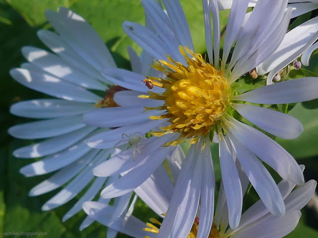
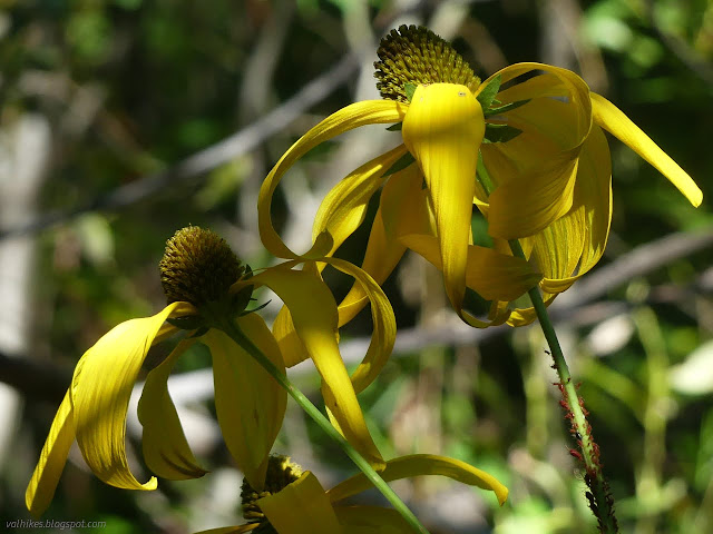
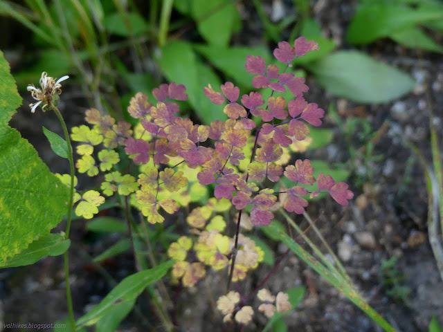
I actually spent a little more time taking in the plants than the river as I walked the return.


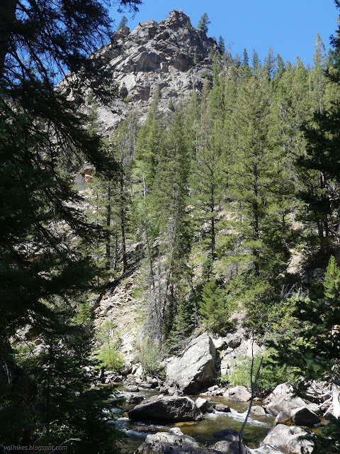
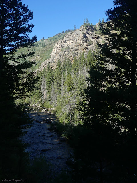
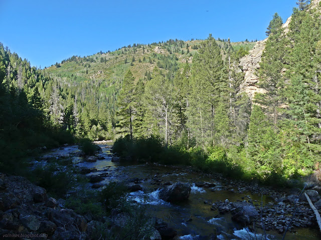
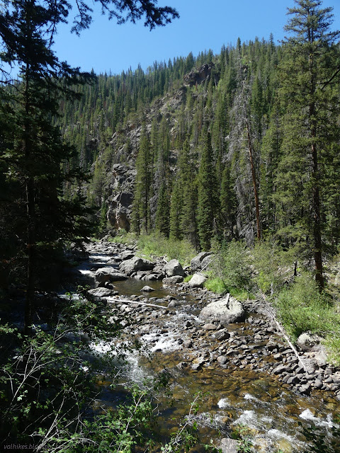
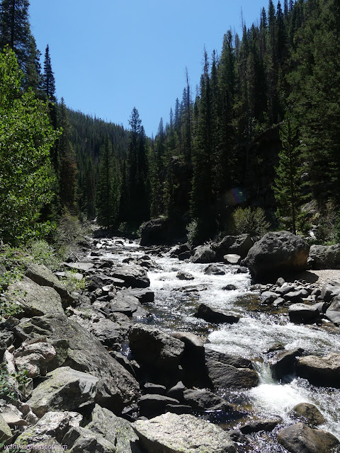
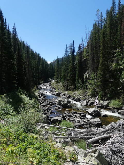
But as I moved out of the lower biome, there weren't so many flowers and the river got some attention.


I bumped into actual trail workers out to cut out all those logs once I'd already gone over the worst of them again. They were out to do the trail end to end and I guess I missed the best time for it by two days.

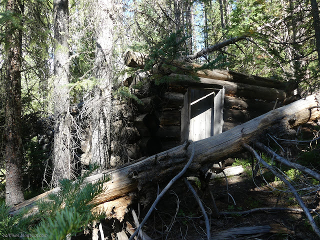
I almost missed them because in a few more feet was Dudley Creek, the subject of a diversion. The map said there was a structure only a quarter mile up it. I started up next to the creek and almost quit totally near instantly. There's no "only" when there's that much beetle killed trees falling over. Then I noticed that further up the hill is a little bit of a trail. It was much easier travel than by the creek although the trees over it showed very little sign of any recent use. I found a couple little streams as I approached the spot. I didn't find the cabin, but it looked like a better spot for it down the hill. About 200 feet from the mark, I found the collapsing two room cabin.

I walked around it with great difficulty. It's probably not much older than 50 years. There's a stream of rubbish out the front door, some of it the sorts of things that are supposed to last.
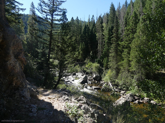
Goal completed, I found some more vanishing trail that got me back to my route in to finish the diversion. From there, I enjoyed clear trail.


There was one tree left down just past the wilderness sign, but everything else had been cleared by the trail crew. I found the higher, official trail through the wider section of the canyon easily going this direction.
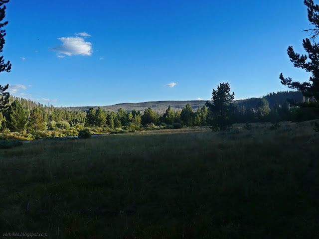
It was a good hike to have even if I'd already hiked a bunch of miles along the Encampment River. It is a very different river here. There's about 5 miles I didn't do, but I decided against day hiking the rest of it from the far end. It might be different again. I was certainly getting into a different plant community with lots of sage toward the end.
*photo album*
©2022 Valerie Norton
Written 10 Nov 2022
Liked this? Interesting? Click the three bars at the top left for the menu to read more or subscribe!


Comments