Charles H. Boustead Tunnel
San Isabel National Forest
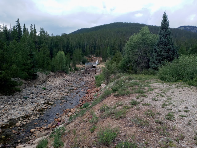
Not all water that falls on the west side of the Great Divide, that longest continental divide roughly followed by the Continental Divide Trail, travels to the Pacific Ocean. In fact, quite a lot that falls on the west near Leadville gets sucked up and dumped onto the east side for a trip to the Atlantic Ocean. The first diversion of water across the divide was for mining near Fairplay in 1860. Leadville also found they just didn't have enough water for all their mining and so water became diverted for it, too. The Busk-Ivanhoe Tunnel (AKA Carlton Tunnel) whose exit I looked down upon while hiking the Highline Trail, was first built as a railroad tunnel starting in 1888 with the first train in late 1893. It was later converted to car traffic and a pipe was added to divert water in 1921. It was still light out when I finished that hike, so I went the short distance to check out the Charles H. Boustead Tunnel (AKA Divide Tunnel) to watch some of this stolen western water pour into an eastern drainage. This one is much newer, with its start dating from the Kennedy administration, and only serves as a water tunnel. It was completed in 1971 and can carry a lot more water. (Did you note the loaded language? I'm born and raised on the western coast watching the western waves, so of course I'm team Pacific!)
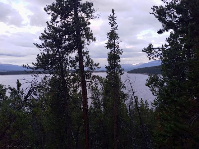
With light still remaining, I proceeded around Turquoise Lake to a couple more viewpoints. They do tend to have a few trees blocking the views, so I didn't see as much as I might have liked. Still, I'd been expecting the hike to take all the light, so I guess I saw more than I expected, too.


There's a summary of transmountain water development here. There is one, single, project that moves water from east to west that happens to be near Leadville. All the rest redistribute water to the east. There's a nice illustration of the continental divides of North America here.
©2022 Valerie Norton
Written 20 Oct 2022
Liked this? Interesting? Click the three bars at the top left for the menu to read more or subscribe!


Comments