Huston Park: to the State Line
Medicine Bow-Routt National Forest
(blue line, map link)
DAY 1 | DAY 2 | DAY 3 | DAY 4
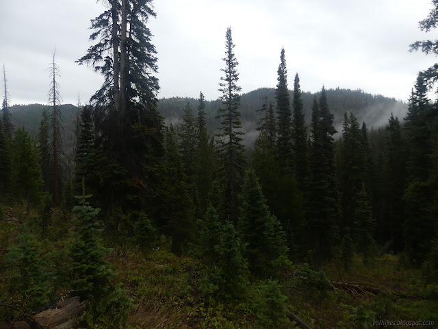
There was no drying things out the next morning. It was dribbling again shortly after I woke up and it kept it up as I packed, breakfasted, finished up, and headed out onto the trail. Rather than lifting, the clouds were dropping. Try as I might to get under them, they surrounded me and took away every remnant of view.
I didn't have much left of the wilderness and, since the trail now shortcuts a part of old road it used to follow, I had less than I thought before the last step out. My plans along the state line were increasing. Really, why not take the trail all the way to the crossing and then go cross country to the monument I was aiming at? This would go past a second giving me twice as many chances of actually finding one. Plus "finishing" the state even if I'd just started it felt better.


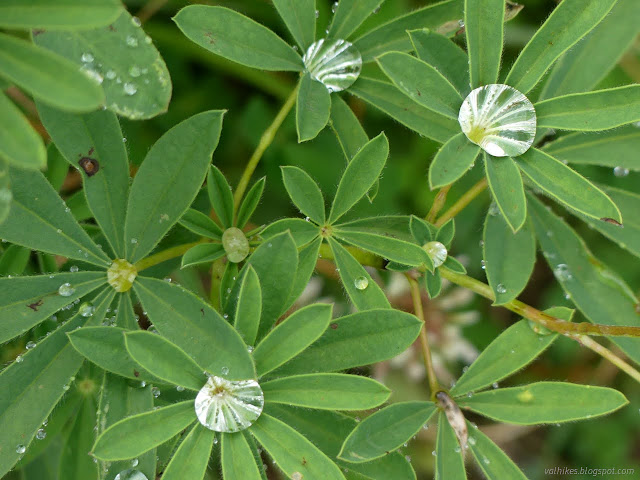
I stopped just short of the road to see if I could find a benchmark. All I found was Oregon grape full of berries. About the place where it should be, they had bulldozed a big hole to discourage attempts to use the old road the trail follows. The rest of the road is a loop for trailhead parking.
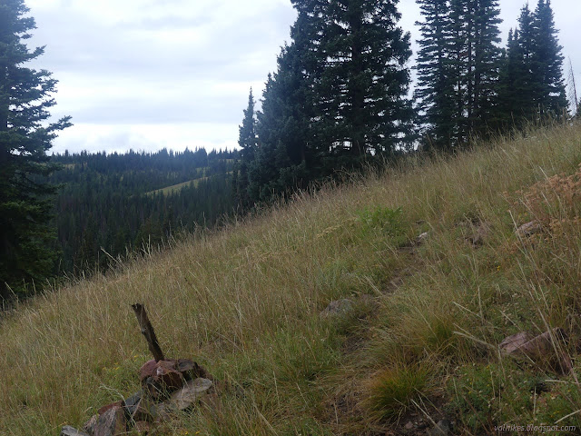
Across the road, there's trail again. It climbs up along what looks like an old fire break then winds along out of the trees to eventually join up with some 4x4 road. It takes a bit of attention to follow once out of the trees, but that seems pretty standard.


I got to thinking that if two chances to find a state line monument are good, then five are better. An old road heads south from the trail to the state line near another monument. I checked that it existed as I went past and it did. My plans had increased again.


Shortly after that junction, the trail leaves the 4x4 road for a decommissioned road. Down it goes, heading east more than south for the border. The trees become heavily beetle killed at the lower elevations and there's been a lot of work to keep the trail clear. I started to worry about how much cross country would be involved in searching for five monuments.


By the time I got to the crossing, I had decided I could deal with the cross country, even with all the beetle kill. Only a few spots had become a pile of impenetrable trunks. I'd also decided that even though the marker to the east wasn't marked on my map, there would have been one once. I was closer to that one than the one to the west and might as well go looking for it. That's six chances.

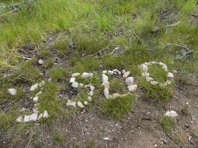
I popped up a little hill to the east to find a campsite. So people like to sleep on the state line even though there's no water nearby? I headed easterly along a route that wobbled north and south a bit, but wasn't too hard except that a hole in my trouser knee did become a bigger hole in the knee. Oops. Eventually I came upon a circle of bearing trees with a post in the middle and a monument beside it. It was well marked and very extant.

The marker was just a baby! It is dated 2001, as are the bearing tree posters.

That's 1 of 1! I was feeling pretty good as I wandered back west to run into the CDT and turn north while it crosses back into Wyoming and then sticks close to the border.

As the trail turned north, I broke west and got myself to the marked spot, which was a total mess of fallen trees. Looking around it wasn't easy. No yellow posters were evident. It could have easily been buried. I wasn't feeling quite so good as I left the spot. Now I was at 1 of 2. I got onto animal trails that fed into an old road that made my travel west a lot easier. It swung south and I popped up and over a short ridge shoulder to find another bit of old road on my way to the next monument.


The next monument should have been just up the hill from the road, so I climbed up and went wandering. This area was open forest with only a little undergrowth. I took longer to look here simply because it seemed like a place I should be able to find a monument. I didn't. That's 1 of 3 now.


So on I went along the road, then cut over to another road that was on my map and would get me halfway directly to FS-550 and Whiskey Creek, the only reliable water I had expected to cross for the day and where I expected to get water for camp and most the next day. There had been more bonus water in the seasonal streams marked along my path along the state line and I actually headed a little further off the side of the road to another seasonal stream west of Whiskey Creek to find my camp.


There was plenty of water and it looked a little better than Whiskey Creek. I camped at the edge of a park in the forest where there were not so many dead trees that could fall on me. Finding a place where there were none seemed impossible. I noticed something odd just upstream and wandered off to find I was next to an automated weather station and probably some water monitoring. There is likely a much easier way there than the one I took. Finding a way across Whiskey Creek was difficult because it was slow and wide where I found it. My first sleep spot was wet from the day's light rain, but I moved to a drier spot that should work better. It was a wetter day than expected, but dribbling had stopped.

continue to the next day ⇒ *photo album*
©2022 Valerie Norton
Written 3 Nov 2022
Liked this? Interesting? Click the three bars at the top left for the menu to read more or subscribe!


Comments