Zirkel: West Fork Lake and West Fork Encampment River
Medicine Bow-Routt National Forest
(purple line, map link)
DAY 1 | DAY 2 | DAY 3
No frost over my feet this morning. Actually, everything was nice and dry and probably a little warm for that. The lake was pretty in the dawn colors, but more photogenic a little later.

So I headed back down to Main Fork Encampment Trail and lost the trail on the way. It was in right about the same place as I lost it on the way up. It's just a bit too thickly covered in trees there. Getting back on track was easier on this second go.


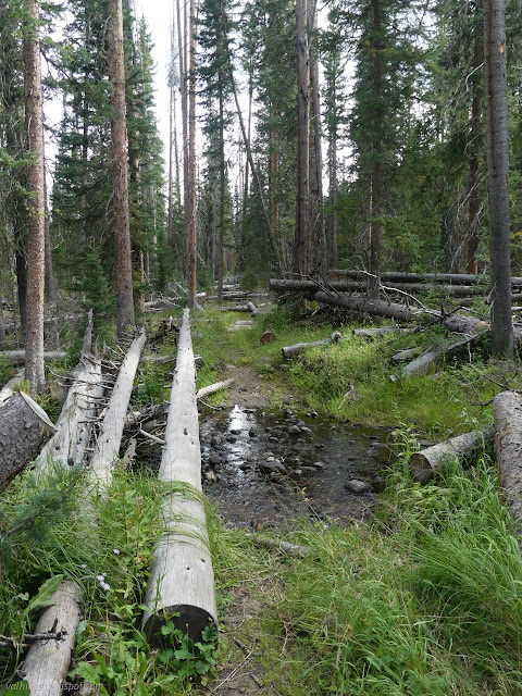
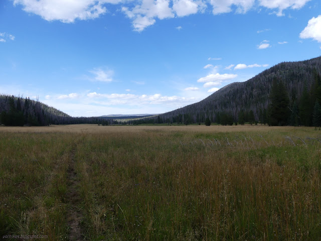
Back to the Main Fork Encampment River Trail, I had to backtrack across those watery spaces that annoyed me on the way to the lake. Sloppier, I got one foot wet. I cut over to Big Creek Trail to cross its creek again, then continued downstream to the next junction. It's less than a mile from the trail I came up on, but nowhere near so difficult to travel. The many trees are comparatively few.

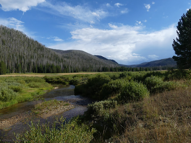
I had to take my shoes off again to cross the river.

I started to see bigger trees freshly removed from the trail before I got to the West Fork Encampment River Trail, but the job still wasn't complete. Still encouraging that there might be less problem on the way back than there was on the way out. There was more once I turned and went up and over the short pass that splits the two forks.
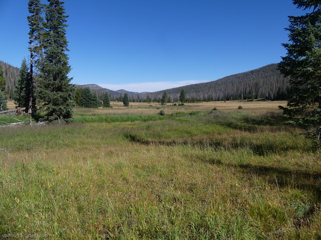
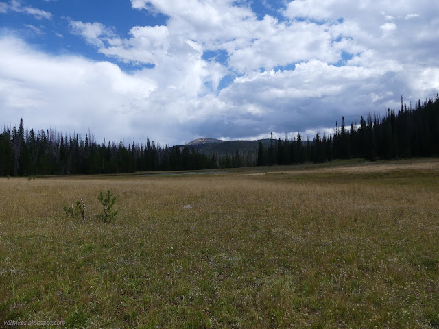
West Fork Lake looked like a good spot for some lunch, so I stopped. There are a number of trails down, but the best are at the west end. Many camps have been made down among the clumps of trees near the lake.


Then off I went down river. There had definitely been some recent work, but I did have this one last diversion up to a couple lakes including Manzanares Lake planned. When I missed the junction, it was tempting to keep on going, but it would be boring. There's got to be more interesting things to look at if going up, so I doubled back. What, is it going to be 2 miles of some of the most difficult trail I've ever hiked with obvious tread? Well, bring it on! It would yield a certain symmetry to the hike.

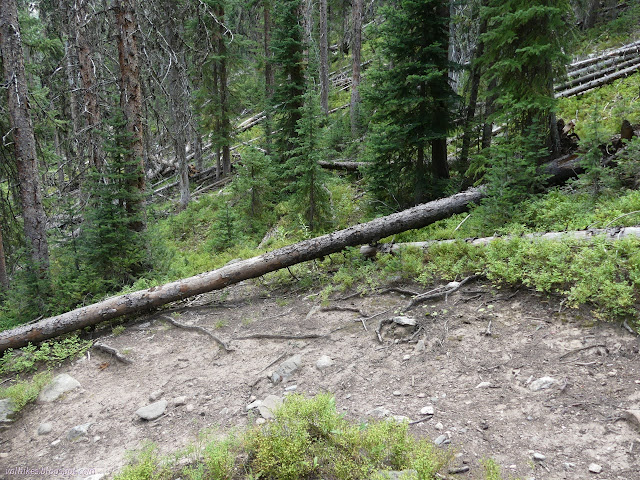
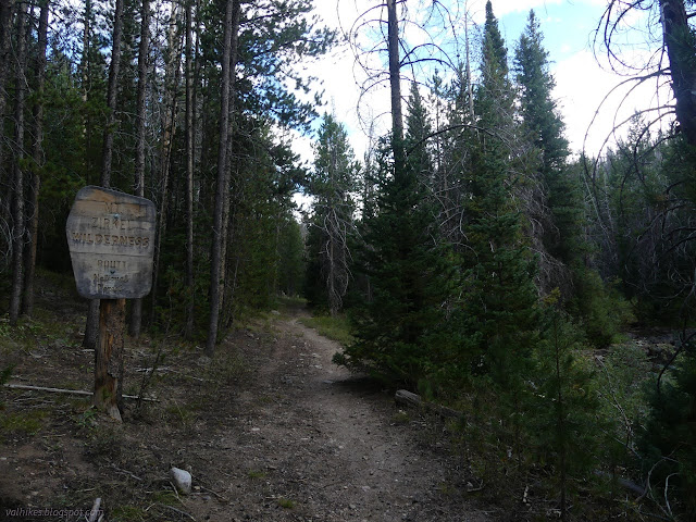
The trail had a big log across it, but the logs after that were freshly cut out. There were a lot of them. I'm glad I decided against fetishizing getting in a few steps on the Continental Divide Trail. There was once a road that came all the way from where I started to climb out of the canyon right by this junction. It is now the Trail Creek Trail and it was going to be my route back down. It looks like no one has used it for a few years. None of the work had spilled out on it.

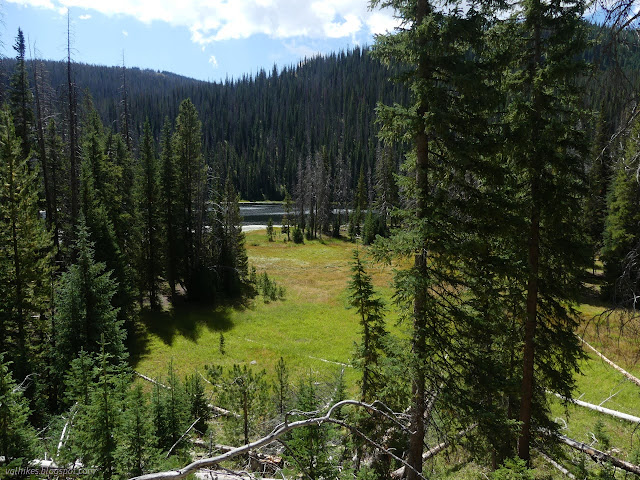
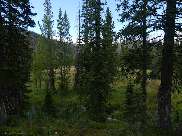
The trail work didn't go all the way up, but fallen trees weren't very frequent at the top. I came upon grand meadows and the first of the large lakes, given no name, just an elevation of 9361 feet. Trail did start to get hard to find. It came near trees and went around the edge the first time. The second time encountering trees, trail went among them and I missed it with another wet foot as a consequence.


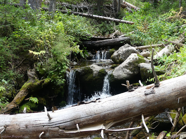
The trail flirts a bit closely with some waterways on its way to the junction ahead. That is signed. It's not too far from a trailhead.
I turned the other way. Next up was the named lake, Manzanares Lake.

When I got around the lake, I found the main campsite people have been using. It's so close to the trail that a bench near a big fire ring has been placed across the worn in tread. Who does that?


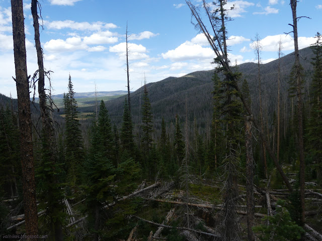
The trail did seem to get just a little further to another bowl of land, then just sort of stop getting any use. I came down a trail that was visible because it is heavily eroded down under a major stack of trees. I had to just go my own way. This was probably the worst bit of trail I hit on the whole trip. However, it is significantly less than 2 miles. So there's that. It also has amazing views.

It was a constant tree hurdle-fest right down to the bottom, where I once again found nice worked trail. The junction was surprisingly well marked.


The rest of the way back was a nice stroll through the wide glacial valley I'd just been looking down on. And, yeah, there's soggy spots to go carefully past, but it's mostly dry.
The last of the trail required no mental effort to follow after all the work to get there. It was especially mindless once I'd got to the junction and was on trail I'd been on.


Presumably I did go over 183 trees, plus a few more for going up to Gem Lake, since I met the ranger. His truck was parked at the trailhead when I finished. That trip had some beautiful spots, but getting through it was absolutely vicious.
*photo album*
©2022 Valerie Norton
Written 7 Nov 2022
Liked this? Interesting? Click the three bars at the top left for the menu to read more or subscribe!


Comments