Encampment: discovering the river
Medicine Bow-Routt National Forest
(light blue line, map link)
DAY 1 | DAY 2
Okay, so somebody in Saratoga saying they want to do the Encampment River Trail probably isn't the best reason to go and do it, but I only had to go across the road for it so it sufficed. Since the Colorado side of this trail was such a mess, I decided to squeeze everything into the 33L pack instead of the 63L pack. Hey, it saves another pound. It's a tight squeeze, so I went with cold soak meals, saving a little more weight. I packed for an overnight with the goal laid back goal of just seeing how far I got. Since I was doing all this packing in the morning, the start was a little late.


I followed along trails near the river, but it turns out I was off trail. The official one stays up a little higher. This meant finding a few extra trees to step over on the way to the wilderness.
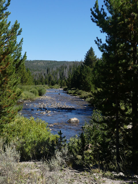
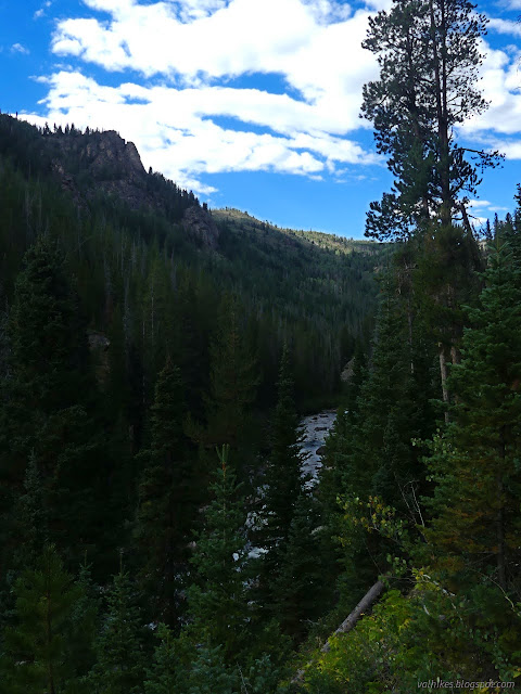
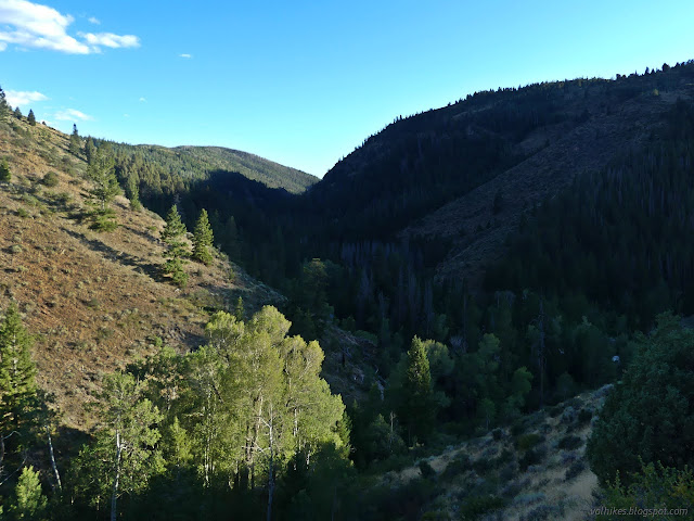
The canyon walls were closing in around me as I wondered why I was bothering to hike a bit more of the same old river. It turns out there's more to "the river" than just the identity of the mass of water rolling down the middle. It quickly isn't the same old river.

There's a bridge I was hoping really exists, and it does. Just before it, there was a surprise junction, or at least a sign for South Hog Park Creek. You'll have to study the map on the sign at the trailhead to figure out where it goes because there's certainly not a lot of actual trail.

Across the bridge, I finally noticed the canyon had lost its wide glacial character. The river had to work at this canyon itself.


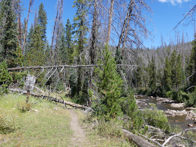
There's a few trees down, but it's not bad. There's never any question where the trail is once it gets into the wilderness. I could watch the water roll and wiggle and do what it does instead of paying attention to trail.


There's a random sign to point out Miller Creek on the far side of the river. If there's a trail that goes with this one, I have no idea what map you need to find to figure out where it goes. There's certainly no tread along what is a rather steep and long drop among trees to the river.


Camps can be found about 4 miles in and get more common after 6 miles. However, if you want to try to get away from the water and the trail like you're supposed to in a wilderness, that's hard.


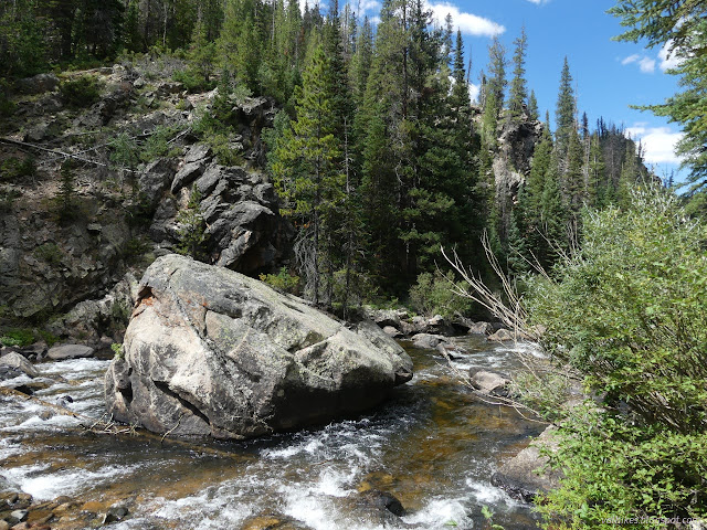
The trail climbs up high over a particularly narrow portion of the canyon. I listened with suspicion for the hidden waterfall, but there may not be one. It's still a piece of canyon lost to view.


I had had one big clump of four trees to get over and then more frequent step overs for a while when I came to a log looking freshly half cleared. After that, there were signs of horses, and I knew the trail was likely going to be pretty clear.


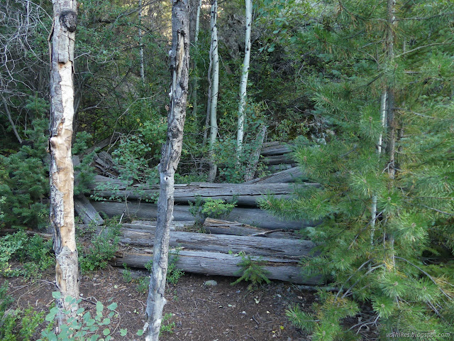
A regular mound of light rocks marks arriving at a mine. The map marks a tunnel, but there's only a bit of light rail track sticking out of the hill to mark that. There's also a collapsing cabin and, down the hill to the north, a larger one tucked a little further into the trees. In between these, I spotted a bear, but it was running off quickly and I only got a blurry picture of green.

Then I passed by a couple rather well used camps. One was actually on the rock side of the trail rather than the river side. I decided it could be acceptable before moving on and right out the far end of the wilderness.


Past the wilderness boundary, the trail winds through Purgatory Gulch, which has a connector trail. (It definitely gets used.) There's another information sign with map there. Past that, I found myself overlooking Water Valley Ranch, which appears to be a private campground. People were hanging in hammocks and music filtered up from a couple different places.

It's probably about half a mile to pass the camp and it was 15 minutes to when I wanted to finish the day, so I decided I'd gotten as far as I was going to get. I turned around and headed back to that maybe sort of legal campsite. I hadn't heard any music when I was there. It's not perfect, but there's even a low number of standing dead trees. I settled down to some supper that had been soaking 2 hours and then tucked in by the fire ring where some stars might be visible.
continue to the next day ⇒
*photo album*
©2022 Valerie Norton
Written 9 Nov 2022
Liked this? Interesting? Click the three bars at the top left for the menu to read more or subscribe!


Comments