Miner's Cabin interpretive loop

Medicine Bow-Routt National Forest


(map link)

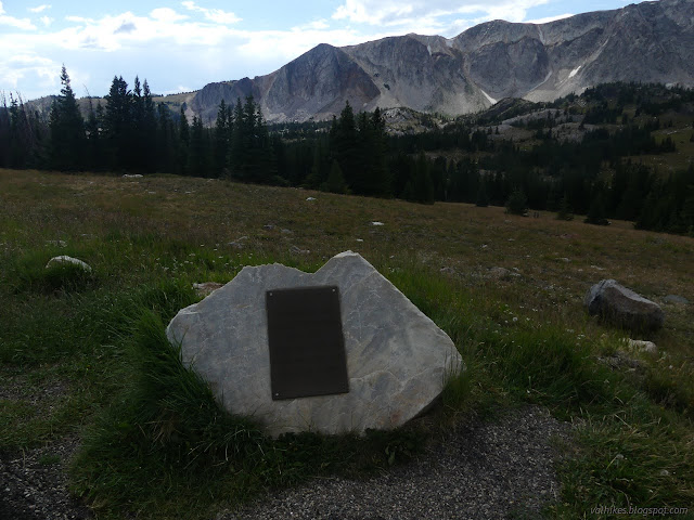
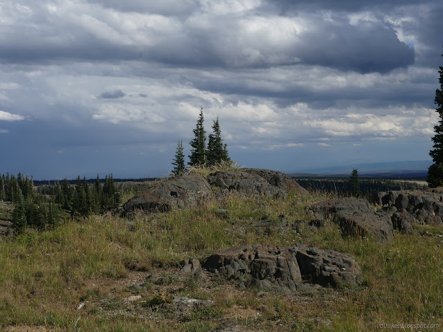
With a bit of sun coming out, I continued up the road to the interpretive trail at Miner's Cabin Trailhead. This is a short loop with signs mostly provided by Wyoming Game and Fish Department. It's part of the "Wyoming's Wildlife Worth the Watching" program that is funded by a trust fund and stamp sales. (These sales support education efforts and many other things, but it seems only nongame management.) Around the parking loop, the signs are primarily concerned with geology.

50: sign and a cliffy mountain
Medicine Bow Peak with a sign about its geology. This one is by Game and Fish, but there's an even larger one by State of Wyoming Geological Survey. These rocks come from 2 billion years of geological happenings.

51: bronze plaque
A monument to United Airlines flight 409, which crashed on the mountain killing 66 people.

52: gravel trail with signs along it
The trailhead and the first few signs along it.

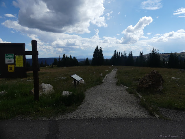
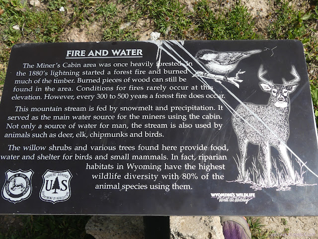
Since it is Game and Fish doing it, most the signs are ecology based. There's the geology one at the top and a few specific to the cabin below and the mine the residents worked on the return loop. They're actually pretty well done and more tightly tied to the spaces they occupy than I've seen in some places. I took the more direct route down, making a counterclockwise circuit.

53: meadow turning to forest
Dropping down into the thin forest.

55: meadow with a small pool below
The meadow below has a little water.

56: sign on fire and water
One of the signs specifically tailored to the area.

57: collasped cabin
The first look at the miner's cabin.

58: shingled wall
The back of the cabin.

60: walls and half a roof
A last look at the cabin.

The cabin comes just before the junction for the other side of the loop. I followed the trail a little further down for no good reason. (I found a geocache.) It goes all the way to Tipple Trailhead, which is just across the highway from Lake Marie.

61: trail in grass and trees
It's still good trail below the interpretive trail.

62: puffing up things
Looks like someone might still be getting some weather.

63: water by the cabin
Debris across the stream near the cabin. Really the last look at the cabin now.

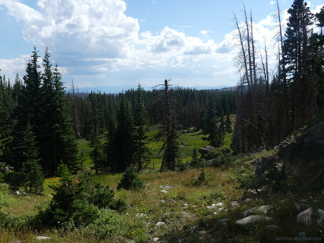
After my no good reason, I started up the other side of the loop.

64: blue pinwheels close up tight
The Rocky Mountain fringed gentian seems to close up tight on the rainy days.

65: range of rocks
These seemed to be three distinctive types of rocks, some with some nice shapes as they stuck out of the ground, but the nearby signs were on subalpine meadows, how gophers are good for something: aerating soils, and clouds.

66: distant rain
Distant meadows and rain and a nice close outcrop of rock.

I got to the Red Mask Mine. The sign by it has a picture of what it was and it's a lot less now. The wood has collapsed and much of it vanished. The metal is a little more missing than simply rusted.
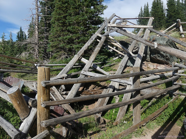
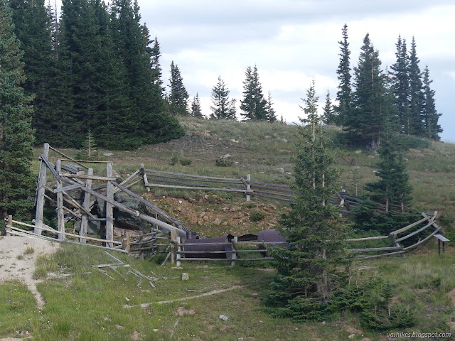
67: collasped tower and mine
The Red Mask Mine. The old tower is just a collapsed skeleton.

68: skeletal remains of a tower
The skeletal remains of the tower at the mine.

69: chunk of metal
Looking through the boiler that's had many chunks cut out of it.

70: bit of mine
A last look at the mine.

*photo album*


©2022 Valerie Norton
Written 29 Oct 2022


Liked this? Interesting? Click the three bars at the top left for the menu to read more or subscribe!


Comments

follow by email

popular posts:

Jennie Lakes: Belle Canyon and Rowell Meadow

Lost Coast: Cooskie Creek Route

Mount Lassic

If the Map's Wrong, Fix It!