Treasure Island
Wyoming Game and Fish Department, North Platte River Public Access Area
(map link)
There are a number of public access areas along the North Platte River provided by the Wyoming Game and Fish Department. They each have varying amenities and recreation opportunities. The one at Treasure Island is well appointed with bathrooms, boat ramp, and a bit of hiking, as well as allowing camping for up to five days. Upon discovering the bit of hiking, I decided I could put some long chores off an hour to explore the place. The parking area is open and rather exposed to the sun. The weather had been pretty stuck on the theme of record heat for all the lower areas since I got to Arapaho, maybe even before but they weren't telling me about it then, so it was hot but cooling in the late afternoon.


Stepping down to the river left the heat behind. There's a lot more shade and even where it isn't shaded it is more comfortable.

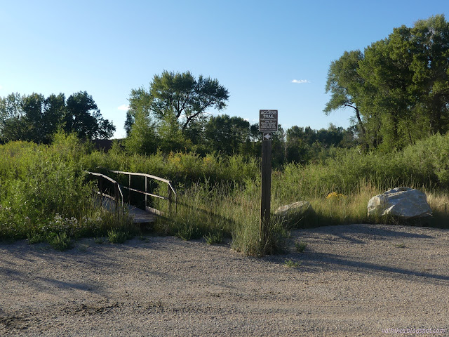
The trail is not well marked, but the main portion heads south from beside the boat ramp. This is also fishing access, so there are frequent spurs (really, it only takes a few feet anyway) down to the water. There's also a pair of bridges, the first over the water and the second over the flood area, to access Treasure Island. Yes, there really is an island.


Bird watching is on the list of recreation activities and the brush absolutely erupted with birds as I crossed the bridge over the river's flood area.

At the bottom of the steps off the second bridge, I set off on the most used trail which was setting off across the island.


I wandered along well established trail going north for a while, then decided I had a much better chance of getting to the south tip of the island than the north since it wasn't a full mile away. I turned south instead.


I found a sign stating I was "leaving access" before I got to the tip of the island. I guess it's moved upstream over the years? I was almost there. I turned back and pondered the damage beavers have done to the cottonwoods including one quite large one. Other than felled trees, I saw nothing of them.

I returned across the bridges and poked a little way further along the side of the river before returning to the parking area.

There's a second trail going downstream that has no bridges to access beyond the one at its start. The bridge itself was fairly overgrown, but there's trail past it. I only went a little way along this before returning.
It took a bit longer than the hour I'd left to wandering a bit. There's actually about two miles of island, so to really look it all over, it takes a little longer. Later, I enjoyed a bit of nice sunset.

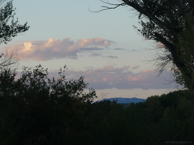
*photo album*
©2022 Valerie Norton
Written 11 Nov 2022
Liked this? Interesting? Click the three bars at the top left for the menu to read more or subscribe!


Comments