Baduwa't Flood Plain and Bluffs
McKinleyville City Parks and Mad River Bluffs
(map link)
As I've compiled the yearly hike list and map, I can't help but notice there's been a distinct lack of interest in presenting much local. I go off to the upper reaches of the Mad River and there's plenty of content, off to Trinity and there's a run of content, out to Nevada and there's a barrage of content. Stay local and there's whole months without content. I didn't even get out to Prairie Creek Redwoods State Park to go looking for some of the distinctive parasitic flowers that are still to find. And I have continued this way as there is no content for January and nearly none for February.

There has been a near constant parade of storms in that time, but sometimes they wander north or south and leave a day or two that turns out sunnier than predicted, much like this supposedly overcast day. (Well, it was sunny for a while.) There are things to go out and see. There's still sections of McKay Community Forest that I need to wander. McKinleyville closed escrow on their community forest at the end of January and while the trails are undoubtedly not officially open, the residents have been wandering them for years, legal or not. (MCSD bought the land, not just the right of way as was originally planned!) Is the trail to Strawberry Rock sorted yet? But that's one for after things dry. Ocean Ranch has likely changed a bit since I visited since it has been the subject of a drastic restoration project. Further on, there's some land trust properties along the Eel River to check out. Hikshari' Trail has been extended. It'll still be some months until the Bay Trail is complete in the middle, so not that. There is available content that is at least partly new to the blog. I settled on the very lowest hanging fruit: check to see if McKinleyville Community Services District (MCSD) have completed the trail along the Mad River from their nice new park to the Hammond Bridge. Then I could go over to the Mad River Bluffs because I like them and they're nearby and there's trail all the way there.
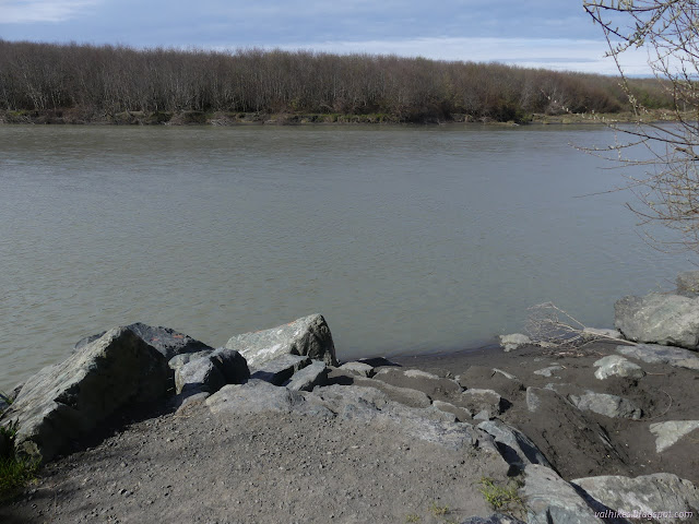
MCSD only lists this as one of their trails even though they have put together a lovely little pocket park. The view and picnicking and one parking space is accessible. There's interpretive signage about the place in general and the estuary restoration project it is a part of in particular. They're all set between metal representations of guardian stones, lhwetgut, that stood at the entry to homes of the area when it was mainly Wiyot who lived here. Down gravel paths, there's more viewpoints and a river access point. The only thing they've forgotten is bicycle parking. It's right at the end of short School Road Trail, a spur from the Hammond Trail which can even see international bicyclers as part of the Coastal Trail.
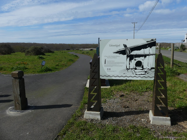
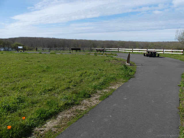
I headed out to the view over Baduwa't, for that is what the signs mention the name of this river was, in some form, for hundreds, probably thousands of years, before some white guys in a boat got upset about not finding the entrance Humboldt Bay and had a little fight. The signs here don't mention the flippancy of the circumstances of the renaming. That story is immortalized in bronze at the freeway overlook for the mouth of the river three miles to the north. At least Mad River is fairly unique. It's much better than Little River to the north and Elk River to the south. And if we return to calling it Baduwa't instead of Mad, the other at least five Mad Rivers can be even more unique.
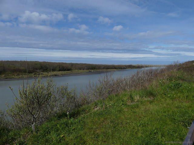

I perused the other signs around the paved viewpoint path and checked on the river access before heading off for the Baduwa't Estuary Trail in hope of finding it traveling all the way to the Hammond Bridge. (Officially it is called "Estuary Restoration Project Trail - Name TBD" at the moment, but that really doesn't roll off the tongue and invites naming.)

As I walked, there was a somewhat more than faint smell of skunk that was concerning.

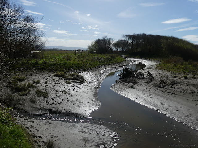
The gravel trail ends at an overlook of the channel that leads to the heart of this restoration project: a deep water persistent pool where salmonids can shelter during high river flows. There's very little of this sort of sheltered area along this part of the river, but it once would have had much of this. Some of the low river areas are quite fractal in character.
Past that overlook, the trail is no longer gravel, but it does go on inland avoiding the channel. And then it stops, blocked by a makeshift but serious wire fence.

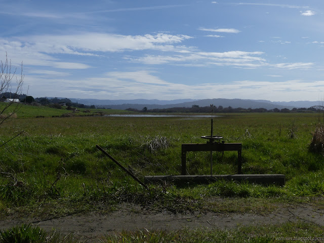
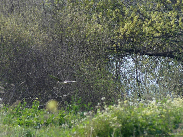
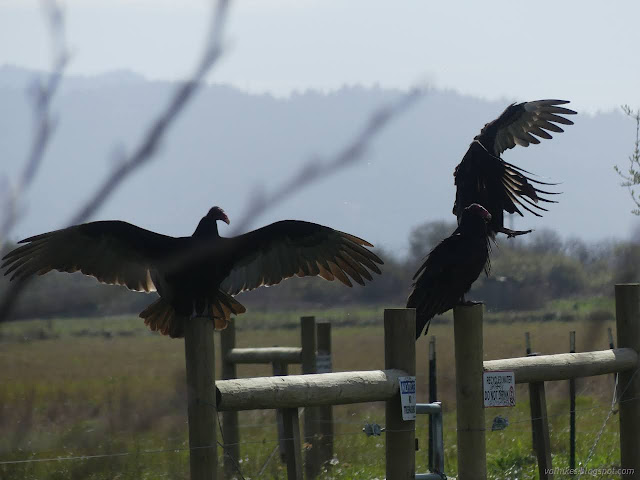
The flooded state of the bit of road on the far side of the fence invited compliance. There's a few reasons why there might not be trail here yet. The restoration included getting rid of invasive plants and replanting with natives, including rare plants. Those should probably be given some time to take hold once more. The south portion of land that the nominal trail passes through is still private property, so that might be a problem. The ostensible reason by the signs is that the area is irrigated with reclaimed water. I turned back and finally found the source of the skunk smell, stiff with its legs sticking up and getting converted to turkey vulture. When I've had the chance to see skunks up close, I've always been watching their demeanor and never got the chance to see what amazing digging claws they have.
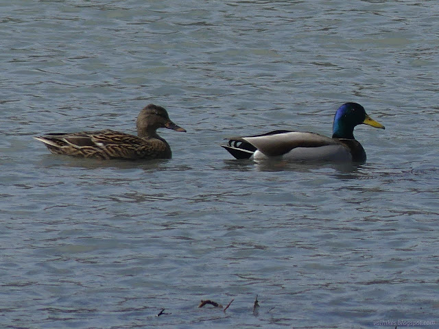
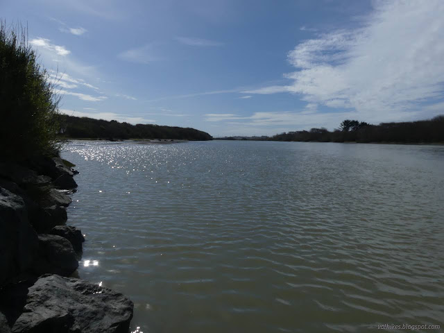
I stopped by the second viewpoint, also paved for accessibility, on the way out. This one gets a little better look out on the river downstream.

I took the paved trails around to the bridge.
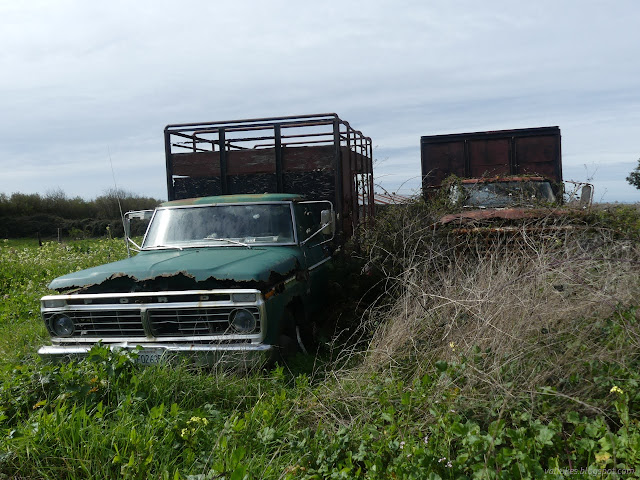
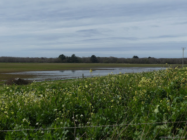
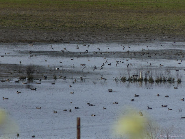
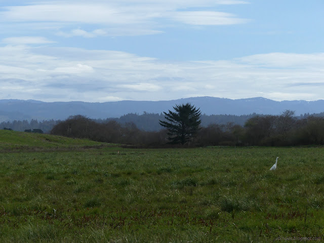
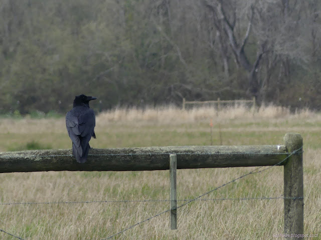
The rogue art gallery on the bridge got painted over at some point. Now the metal panels are covered in tags and messages instead. The art was better, but it was already getting tagged too when I last saw it.

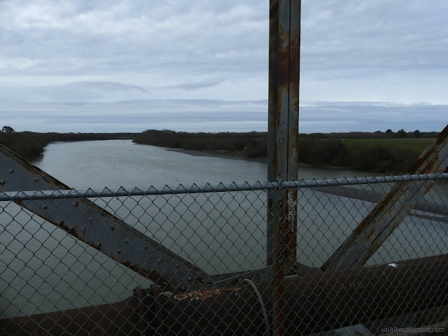


Having checked on the bridge, I turned back again, this time to head off to Hiller Park.


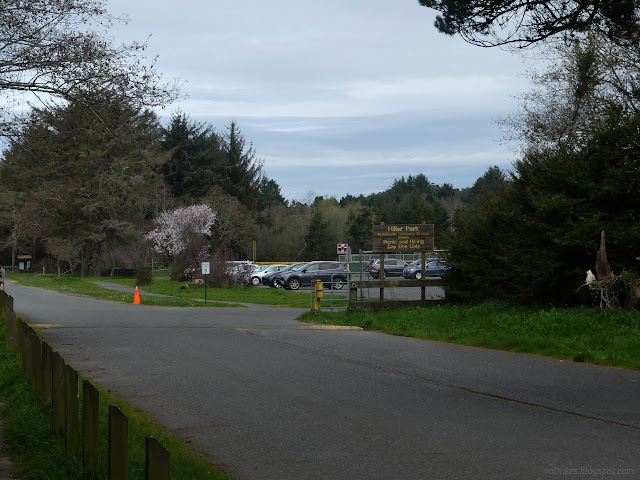
While I quite like the area of the Mad River Bluffs, I don't much like the dog gauntlet that comes with it. I've been reading the plans for McKay and found from the comments that there's a lot of dog owners that view bikes the same way I view them and their off leash dogs. It's probably going to be fine, but there's an all too finite chance of something very unpleasant happening. People were actually paying attention to their dogs and playing off the path as I walked through the off leash area in the park, so that part wasn't so bad.

Of course, as I passed the sign, very red for attention, marking the end of the off leash area and asking that dogs now be leashed, I continued to encounter off leash dogs. Now they were loosely associated with inattentive people. I crossed over from the grass trail to one more treed by the ponds to be on a lesser used trail.

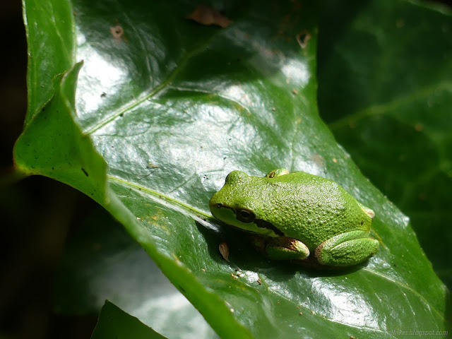

I was making the turn to Mad River Bluffs and looking up into the tops of the Sitka spruce (not so much ivy by the creek, somehow) when one of those dogs chose to run off from its person to give me a growl. Incidentally, voice control is also about what your dog doesn't do without your say so (it should not chase animals or run off from you or threaten strangers for the crime of standing on a trail ahead of them) not just what it does (obey commands immediately the first time they are given). This dog was told to stop, which it did for about 10 seconds. Then I tried to move and it returned to growling. Joy. That dog needs to be leashed. The owner holding the leash made no effort to correct the mistake. The rest just went along meekly beside their people, but it seems there's always at least one like this when I pass through these two park areas.
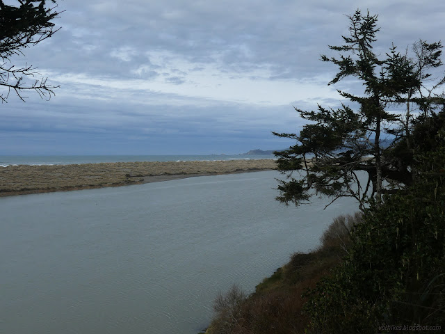
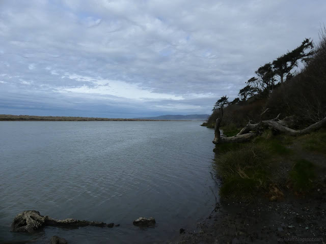
So on past lots of dogs, none of them leashed, but none of the rest threatening or ill behaved. Every single person had a dog except myself and the person who mentioned the larger botanical gardens. Other places have a lot more dog free hikers. I may not be the only one who has noticed them. It's doubly frustrating if I think about how much Timmy would have liked to sniff around the variety of plants, but it is unlikely the unleashed dogs would leave the cat alone.
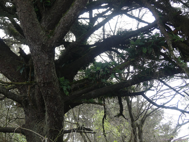

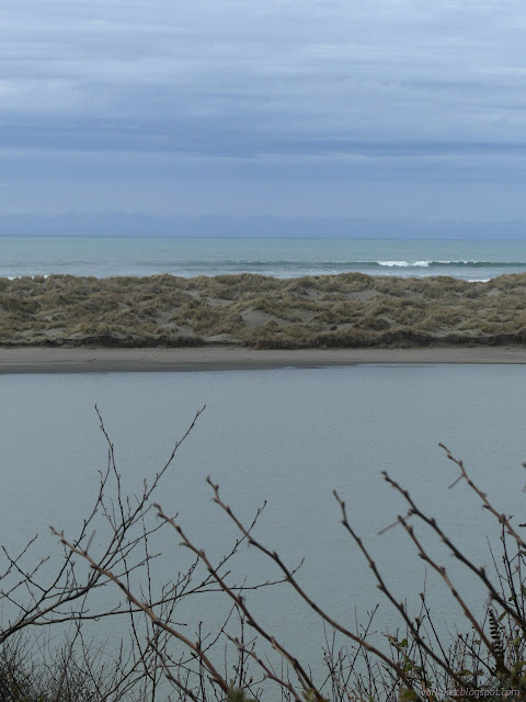
There's interpretive signs along here too. One is about a "mouth on the move". Before the beach grass, which is native to the eastern seaboard and Europe, moved in about 50 years ago, the area would fill in with sand during low flow and the river could breach it anywhere. Once it breaches, the mouth tends to move slowly north. I wonder what it is like to watch that progression. Currently the river goes as far north as it can until it hits a rock hardened area and must turn out to sea.
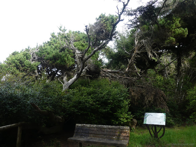
The sign mentioning how the salt spray from the sea tends to sculpt the trees happens to be set beside trees that most easily show this.

From the entry and parking area for Mad River Bluffs, there's a bit of neighborhood walking on roads generally without sidewalks, but with very little traffic, to get back to the pocket park where I started. One could also head back through Hiller Park to the multiuse trails and take them back.
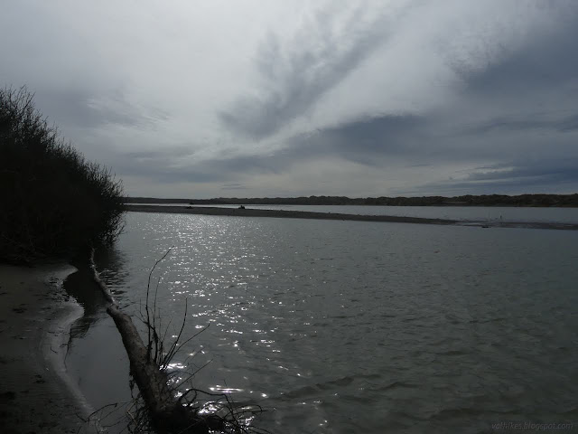
If I fall victim to brash consumerism and purchase a cheap and light (for a kayak) folding kayak, this little pocket park would certainly be a common put in. Lhiwetgut Park? They really are super into the threshold theme.
*photo album*
©2024 Valerie Norton
Written 5 Mar 2024
Liked this? Interesting? Click the three bars at the top left for the menu to read more or subscribe!


Comments