South Beach and Backdunes Trails
Little River State Beach
(Map link.)
After having a look at the Trinidad Coastal Land Trust property on the north side of Little River, I stopped off at Little River State Beach on the south side of the river. It is free to visit. There are two little dirt lots, one each for the North Beach Trail and the South Beach Trail. I stopped at the South Beach Trail intending to get up to the river and wander a bit. The beach trails go to the beach, as advertised, but there is also the Backdunes Trail and the Nearshore Dunes Trail for north/sough travel.

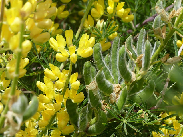
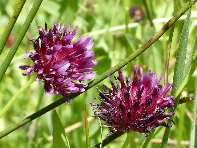
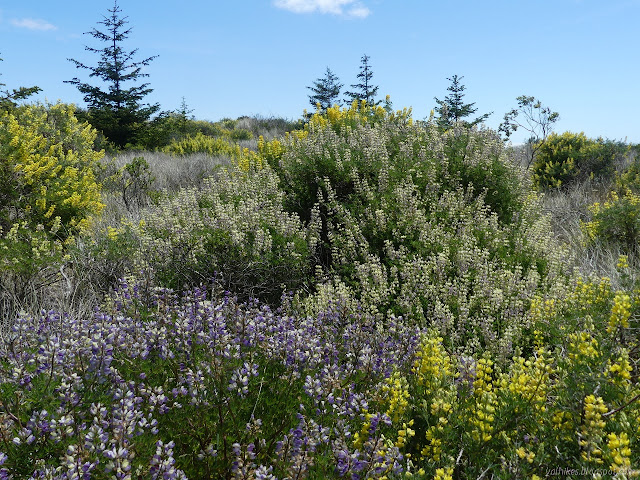
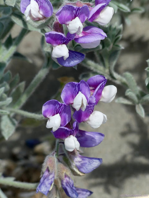
I must admit, I don't really see dunes as I look across this sandy area, just great mounds of yellow lupine. The smell of it is strong and sweet and certainly helps absorb all attention with the flowers. In southern and central California, it is native and vulnerable. Here, it is an invader. It has been removed from the other areas, but there doesn't appear to have been a great effort here.
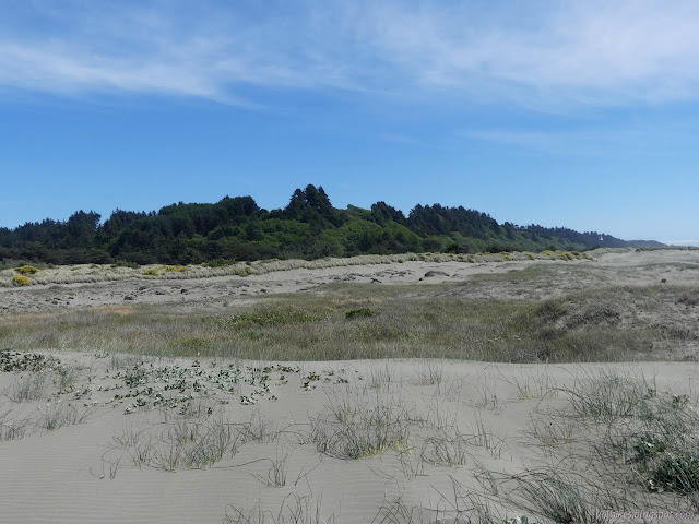
I turned at the first junction, marked Nearshore Dunes Trail, and started north. I seemed to be headed toward a wall of sand.
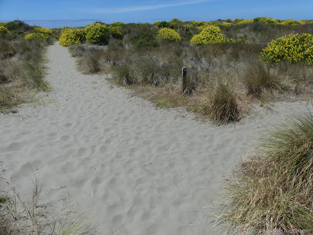

Everything changes at the top of the sand wall. At first glance, the sand beyond is bare. No invasive lupines. No invasive dune grasses. Ropes surround a lot of the area because it is snowy plover breeding season and these areas are set aside for their nests. It was probably cleared of all that to give the birds some nesting area. Determining where the trail goes is difficult. I guessed along the north edge of the generally cleared sand, but there's a wide space between that and the ropes to protect the nests. I seem to have guessed correctly.


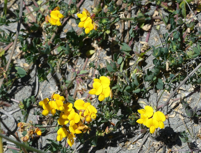
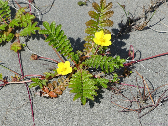
The vegetation changed as I got closer to Little River. There is probably a little more soil there, not to mention water. There's also less invasive plant removal.


I took a right at an unsigned corner that took me toward US-101, then turned back. It seemed to be going to a fence, and I wasn't out to cross the river on the highway. I wandered along a second trail near the river going toward the highway. This actually connected to the other, although there was also a visible hole in the fence if using the bridge was what I wanted. I turned back and started along more confused trails.


Eventually I found myself at the beach and I headed south along it.


I decided to head back into the dunes along the corridor for the North Beach Trail. I fancied seeing a snowy plover nest, but they are a depression in the sand with an egg or two that looks like a rock among tucked in. I certainly didn't notice any. No birds were sitting, either.
I thought there was supposed to be a trail closer to the beach going south, but certainly couldn't find anything like that and ended up following the original trail back to the car.
Liked this? Interesting? Click the three bars at the top left for the menu to read more or subscribe!


Comments