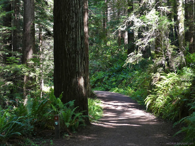
Arcata Ridge Trail
Arcata Community Forest

(Map link.)
I had resolved to hike the whole of the Arcata Ridge Trail "soon", perhaps even "while the rhododendrons are still in bloom", and this was the day. There is still the little concern that half a mile in the middle remains unconstructed. Getting around that requires a bit of road walking on a shoulderless stretch of well used black top and increases the length by at least half a mile, but so it goes. The overall length is advertised as 4 miles, but I think that is the length that had been constructed before the most recent addition. I started on the Sunny Brae side since that has a much better hiking to driving ratio for me.


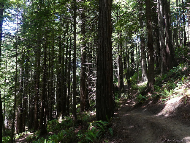
I followed the crests, as the trail is well marked through the Sunny Brae side, at least as far as it goes. I found myself wandering past fallen rhododendron flowers. There are a few still in the trees, but they have clearly passed their prime. The best is one right at the top of the downhill bike (and hiker) trail.


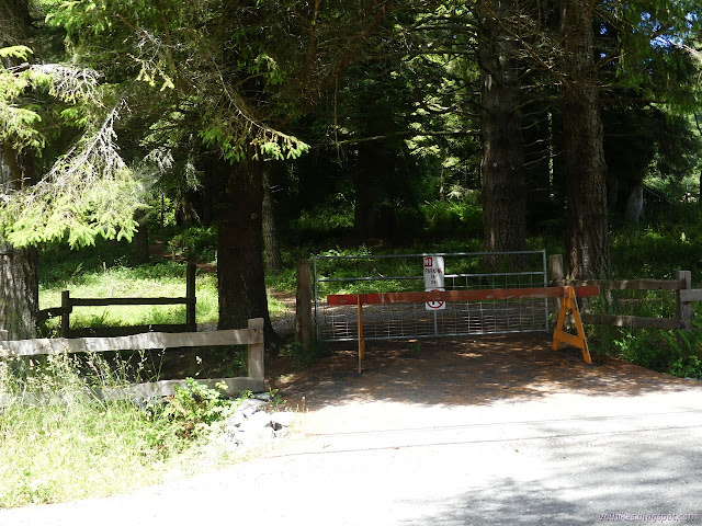
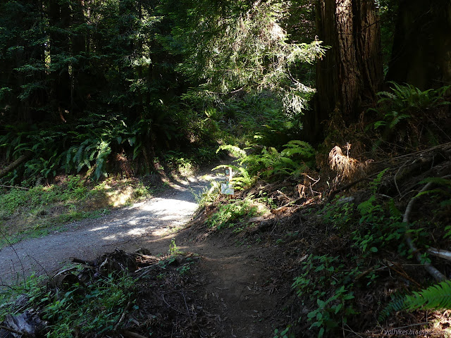
I had a look up what was once signed as the future Ridge Trail, but now with "no trespassing" and wondered again when work would start. There is a track going up the old road, but that doesn't go through as any sort of trail you would want to follow, at least not where it is supposed to. Instead, I continued along the same old road and then some trails that connect it to Fickle Hill Road near the power lines.

I had thought I would go down the road and enter the main section of the community forest at the Fickle Hill Trail, but then took a moment to compare how long it would be on the road. It would still be longer to go down than to go up, so I turned back and went up.
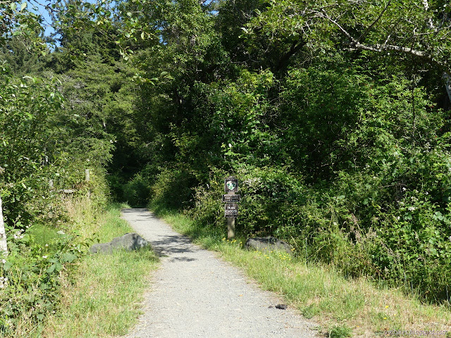
The drivers of Fickle Hill are used to frequent bicycles and actually drive out wide around those on the edge when it is safe. Most the time it is safe. I wasn't sure what I was looking for, but the parade style road barrier in front of a gate and the "no public trail" sign on the other side sort of gave it away. The crest about 100 feet along sealed the deal.
Fickle Hill is basically the high point of the trail, so there's a bit of down from there.
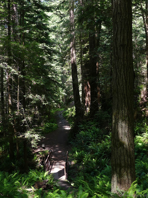
At the far side of the bridge, there was a temporary sign claiming that I must turn around and come back if I go up this trail, as if it isn't legal for pedestrians and bicyclists and probably even the horses to use the public road. The city seems to be dithering about what would be the safest crossing. Anything, compared to walking the edge of the road. I expressed this all to the world around me and then got moving all the way to the bench, which made a good snacking and listening point. Then I got on to the trails, which tend not to be marked with crests at the intersections. I had the map PDF to help direct me correctly.

There has been some trail construction recently. I found a trail alternate for part of the road the trail follows while passing through the section that is actually a right-of-way through private property. They won't let horses on it for almost another year, but everyone else can enjoy a less steep alternate to a slightly steep section of road.


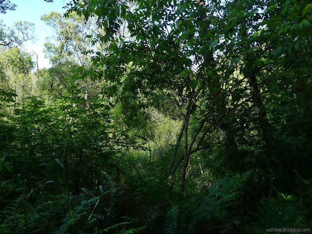
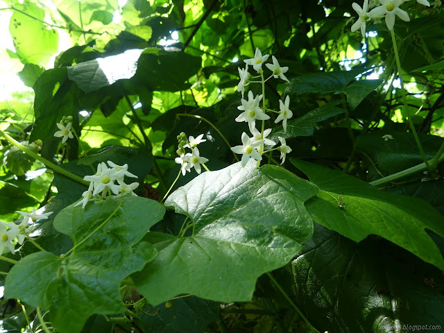
It does get a bit swampy in the area once down by the creek and the mosquitoes were numerous. I had not noticed them higher up and away from the creek. I had a battle between there being more flowers to check out (So, are these manroots really male or female?) and the fact that every time I stopped moving, something tried to bite me.

I got to the end of the trail and tapped West End Road with my foot for good measure before turning back.


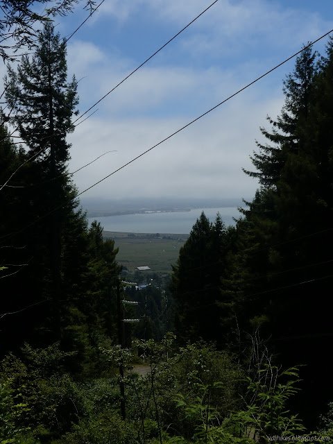
I hadn't spotted any rhododendron on the way in the main part of the forest. I started searching a little more for them as I continued on my way back. The fog rolled in as I did, and I wondered how hot it must be inland. I didn't see any more rhododendrons until after getting in a little more road walking along the detour around the non-existent connection.
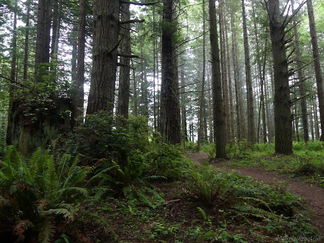
*photo album*
©2021 Valerie Norton
Written 8 Jul 2021
Liked this? Interesting? Click the three bars at the top left for the menu to read more or subscribe!


Comments