Pilot Point Nature Reserve and Little River Trail
Trinidad Coastal Land Trust
(Map link.)
Pilot Point Nature Reserve
Trinidad Coastal Land Trust has volunteer opportunities on the first Saturday of the month. This month, it was a bit of ivy removal on their Pilot Point Nature Reserve property. This particular property is not for casual public visitation and I wouldn't dream of bothering someone to ask for a tour, but I'll happily have some satisfying Atlantic ivy removal and see it. We were able to reduce a small patch to drying piles that will get some attention to be sure they don't grab hold in a new spot. This bit of walking was not tracked since the trail isn't public. The location of the property is marked with a star above.
Little River Trail
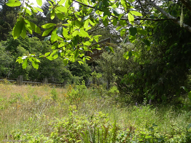
The volunteer work was over already at noon. I headed the short way down the road to where there was work last month at the future home of the Little River Trail. The cape ivy here was not quite so satisfying since it breaks apart and it is all to easy to leave the roots, but there were still bare spaces where ivy, radish, crocuses, and a few calla lilies were removed. Oh, but there's so much left to remove.

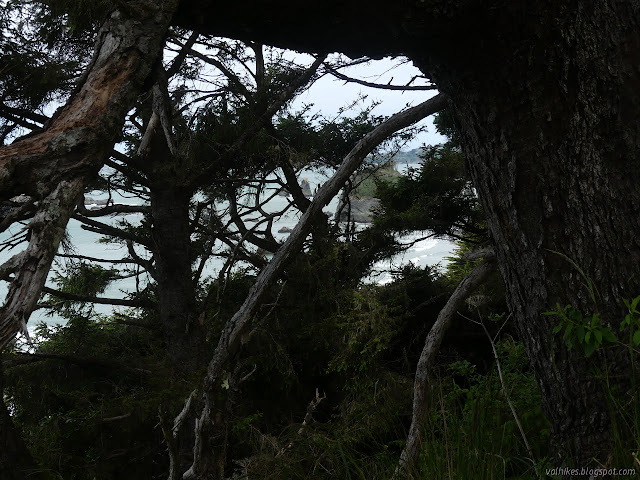
The trail does exist already in a very rudimentary state. It drops slowly along the highway, although generally just out of view through the vegetation. Also out of view is the river and beach. It clearly gets a few people walking it. I wasn't even the only one on it during my short visit.


There are a couple spaces where the trail scampers up to the highway, one by the weight station sign and one by the state park sign. The trail fades a bit at the end as it gets to the point where the river must be crossed. For now, that crossing is only on the Caltrans bridge. There's trails again through a hole in the fence on the other side.
I wasn't interested in accessing Little River State Beach that way, so turned back.
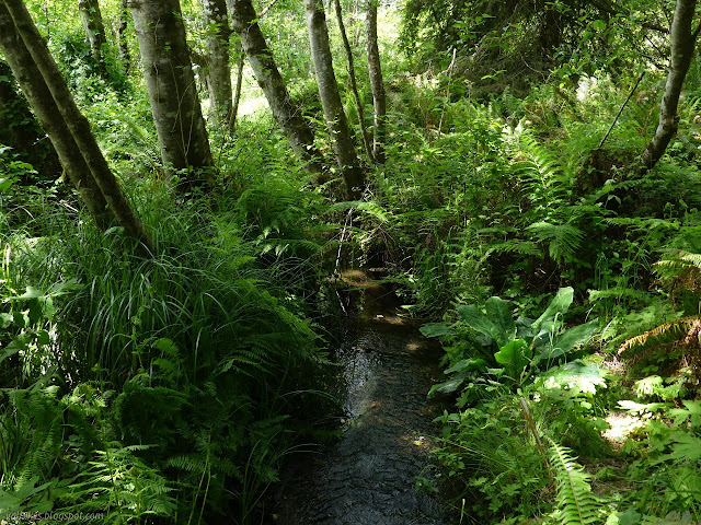
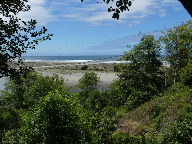
*photo album*
©2021 Valerie Norton
Written 19 Jun 2021
Liked this? Interesting? Click the three bars at the top left for the menu to read more or subscribe!


Comments