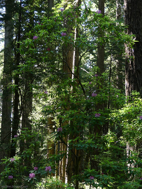
Last Chance for Rhododendrons
Del Norte Coast Redwoods State Park
(Map link.)
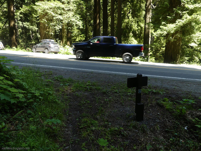
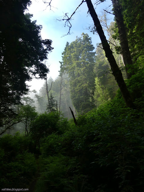
After hiking a bit of the DeMartin section of the California Coastal Trail for rhododendrons, I crossed the road and started along the Last Chance section for more. The plan was to do another 3 miles to the end of the redwoods, which is also the end of the rhododendrons along this section. The thing is, it is actually about 4.5 miles to that end. This part of the trail is even flatter than the other except for a very short climb of about 40 feet vertical to get up and over a tiny ridge at the start. That connects to an old road that connects US-101 about 100 feet later, so one could easily go around and make the trail even flatter. I didn't do that. I cleared some fallen branch debris off a switchback that was getting cut and went up and over.
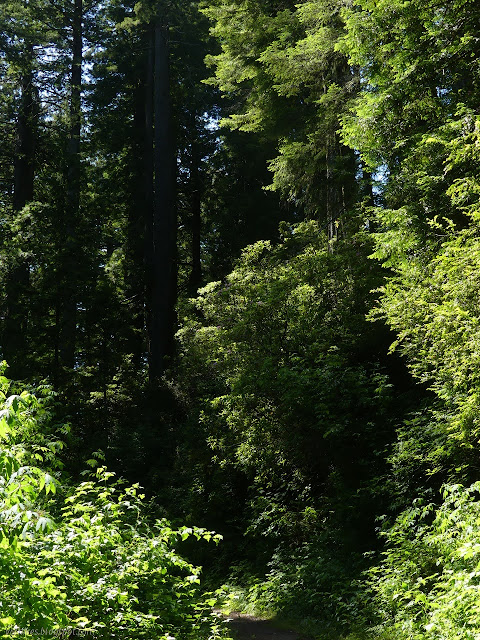
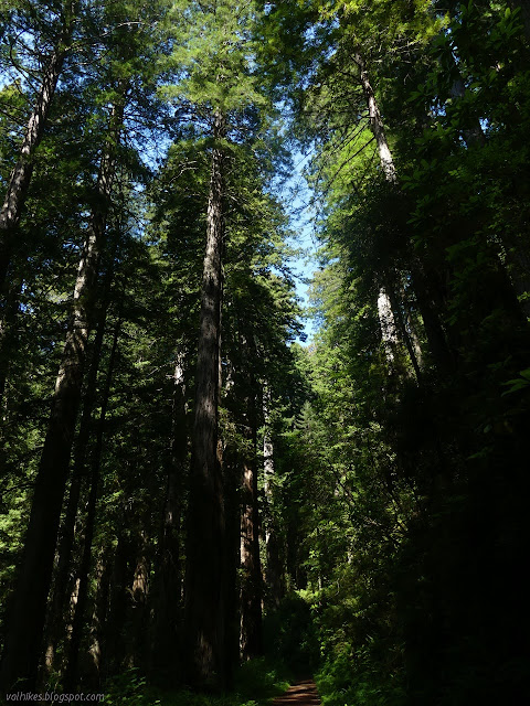
Once the tiny bit of trail comes down to the old road, it is in an open area with no redwoods. This changes quickly once one gets started down it. The edge redwoods, well, they have a lot to deal with by not having that all around support that the inner ones have. Their harder life shows.

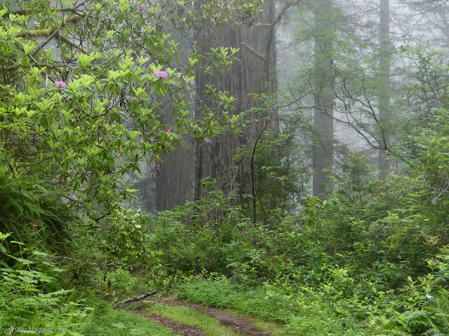
It might be shorter to the first of the rhododendrons, and it is certainly easier.

There seemed to be more of them, too. The old road does tend to have tall shrubs growing at the edge so that it is hard to look down the slopes past it, which would be an excellent way to see the flowers in the bushes below. Most the bushes seem to be above and can be quite easily visible.


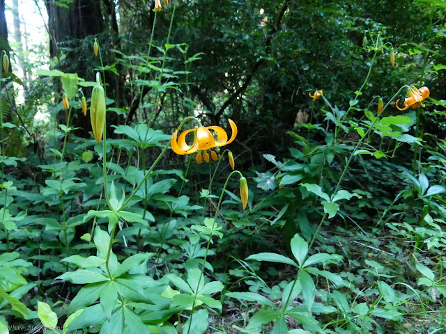
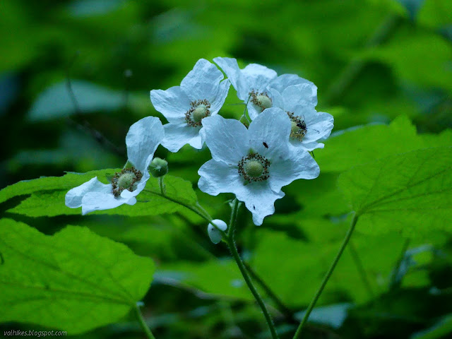
I came upon more leopard lilies. Unlike the ones on the drier, higher trail, these were open. These low elevation ones are mildly smaller than other species of the area, but still big and bright and beautiful.


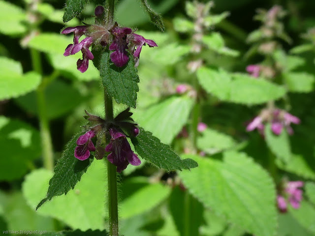
Across the bridge was one of the only places I found clintonia or irises, which were a bit more common on the DeMartin section. Last Chance had plenty of other flowers that weren't so common along Demartin.


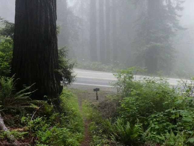
I went past the last of the rhododendrons, past the last of the redwoods, around to a viewpoint. I knew there would be no point. The fog was clearly coming in and the viewpoint across the ocean may well have held nothing but fog sitting just off the beach the whole day. Some days you can see Crescent City, but this day it was an amorphous mass of white and grey.
So I turned back and enjoyed the rhododendrons from the slightly different vantage point. The fog slowly outpaced me on my inland and southward journey, slowly encompassing everything on the way.


I had entertained the idea of returning via the Damnation Creek Trail, which meets US-101 about a quarter mile north. By the time I got there, I was getting a little determined to just stay the course having forgotten that there might be new rhododendrons that I hadn't yet seen along there. Some people do recommend Damnation Creek for rhododendrons, so it's quite likely.
I've had my foot pain "diagnosed" via the technique of, "My doctor told me to wrap my foot like you do." I'm sure this can be correct as much as 5% of the time! The diagnosis is "cuboid syndrome", which is not all that uncommon. There is an estimate that 4% of athletes with foot injuries have a problem in the cuboid area. That's not quite the same as having this. The details do seem to fit, unlike the foot problem du jour, plantar fasciitis. It can be brought on via a traumatic event, say slamming your foot down very very hard on the marble at the bottom of the steps, or via too much use. It's the sort of thing that can reoccur. It can include some dislocation of the bones, so just popping it back is possible. This possibility doesn't change my tape it until it stops hurting procedure, because that works.
©2021 Valerie Norton
Written 4 Jul 2021
Liked this? Interesting? Click the three bars at the top left for the menu to read more or subscribe!


Comments